I somehow missed, until now, this set of oblique-projected maps of popular parts of central London (thanks Chris Pearson for the tip!) They were produced
More...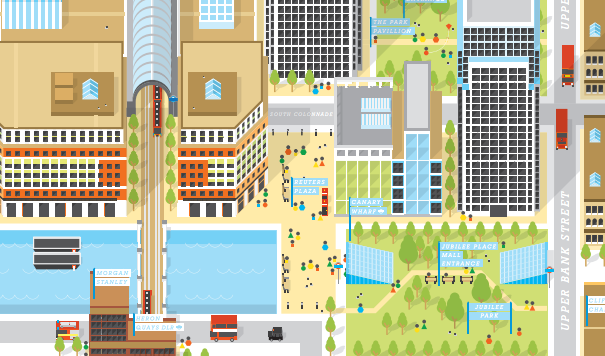
Highlighting the best London maps
I somehow missed, until now, this set of oblique-projected maps of popular parts of central London (thanks Chris Pearson for the tip!) They were produced
More...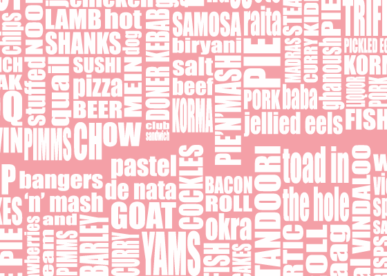
This work, by Curious Maps, is a typographical map of London, with each area replaced with words representing a (stereo)typical dish for that area. My
More...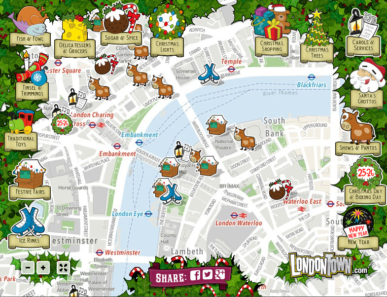
This is a view from the LondonTown Christmas Map. While it is essentially just “pins on a map” map with a number of icons relating
More...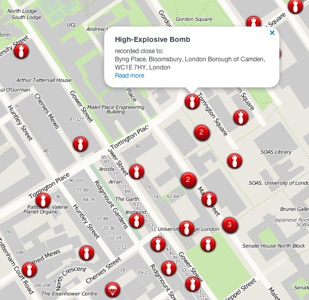
The London Blitz, from 1940-1941, was a traumatic event that changed London’s landscape for ever. Until now, maps of the impact sights from the bombs
More...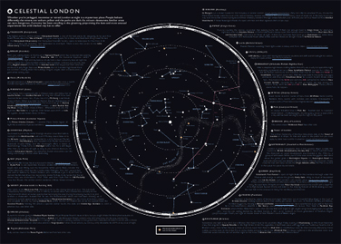
Ever thought the ribbon of the River Thames, weaving its way through London, looks a little like the band of the Milky Way galaxy, streaking
More...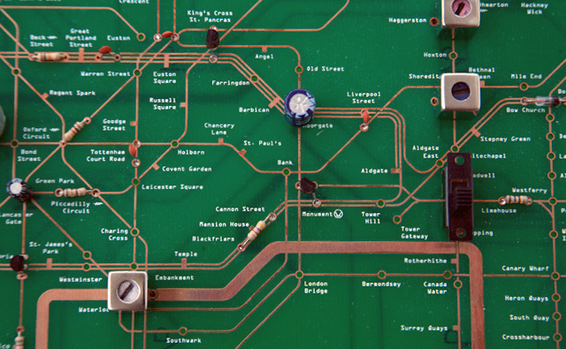
We’ve featured at least three maps since the last one derived from the tube network, so we must be due for another interpretation of London’s
More...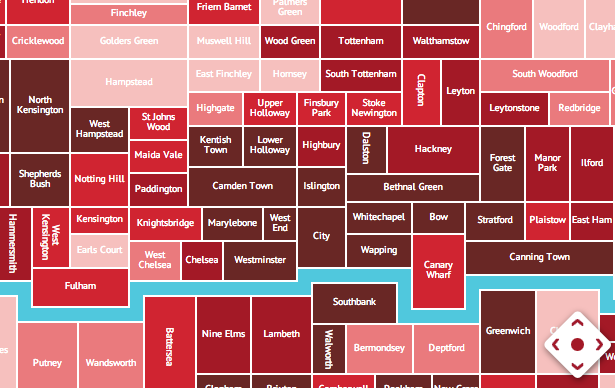
Rentonomy, who describe themselves as, for now, “an easy-to-use site that looks at London in a totally new way and gives you all the tools
More...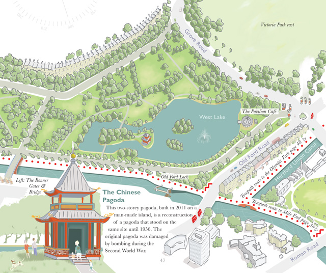
A book, by author and illustrator David Fathers, has recently been published, on the Regent’s Canal. It’s an engaging little book, part route finder, part
More...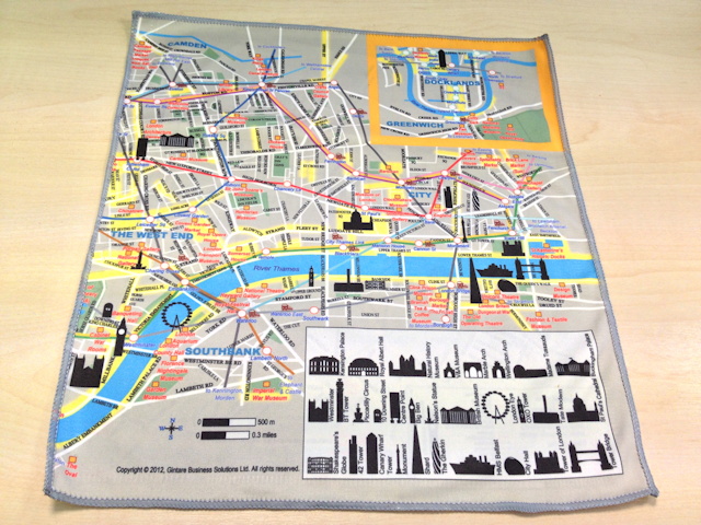
Silky Map is a bespoke map of central London, printed on a soft cleaning cloth, the kind you would use for cleaning your iPhone screen
More...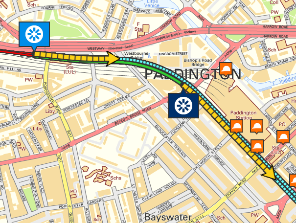
Crossrail are currently building a new deep-level railway line right across the heart of London. The mega-project recently launched the first two of their tunnel
More...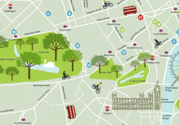
This map is produced by The Green Traveller in collaboration with Visit England and the Green Tourism Business Scheme, and presents an idyllic view of
More...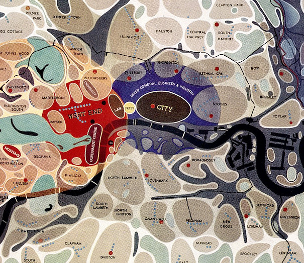
[Updated] This map of London districts, was intended to be used as a grand “masterplan” of how a post-WW2 London could look. Each district appears
More...