Mapping London is just back from a holiday in New York City. Here is one last iconic map from the city which never sleeps. The
More...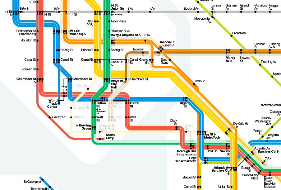
Highlighting the best London maps
Mapping London is just back from a holiday in New York City. Here is one last iconic map from the city which never sleeps. The
More...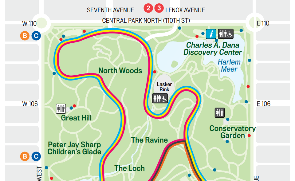
Mapping London is on holiday in New York City this week. In the centre of Manhattan lies one of the world’s most iconic parks, Central
More...
Mapping London is currently abroad on holiday. So here’s a post on location – not of a map of London, but of New York City.
More...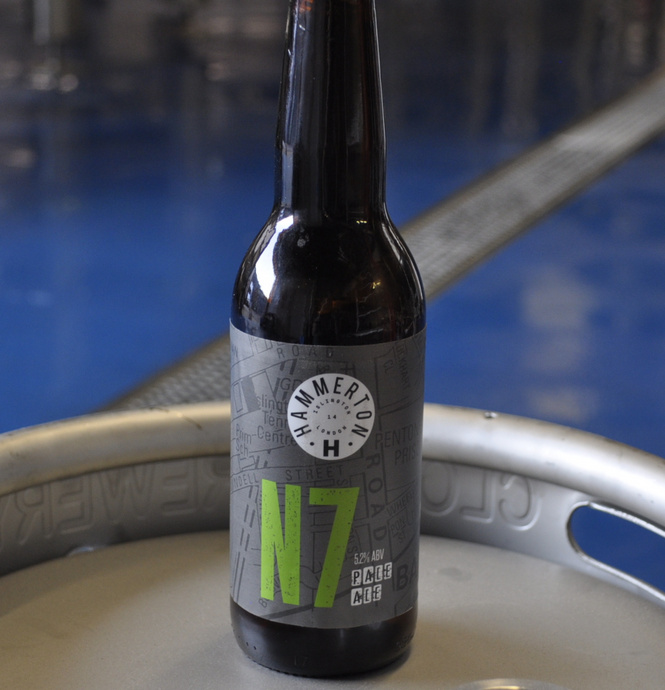
Maps appear everywhere! I only recently featured the Craft Brewery Map of London so I was pleased to discover today that one of the featured
More...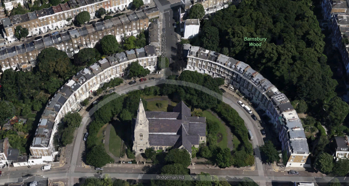
Google yesterday released their 3D map for much of inner city London – roughly, most of Zones 1-2 and parts of Zone 3, now visible
More...
The Foursquare social network has always been very focused on place – its key element being the “checkin” to the pub, restaurant or park you
More...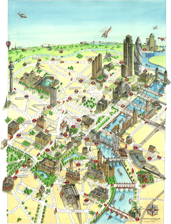
The artist Katherine Baxter, who specialises in hand-drawn isometric generalised maps, particular of cities, has a solo exhibition “Mapmaker”, at the Coninsgby Gallery in Tottenham
More...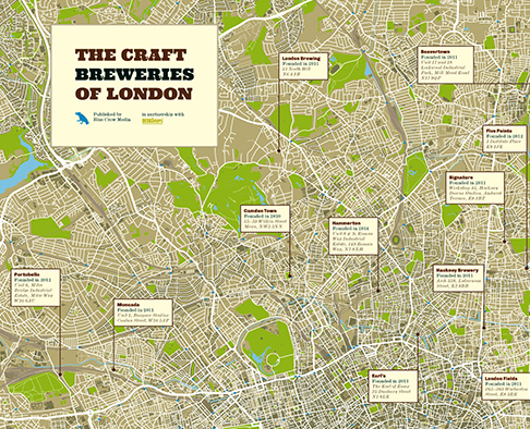
Blue Crow Media, who have previously produced pocket-size maps, that we’ve reviewed, of artisan coffee houses, craft beer pubs and independent bicycle shops, have been
More...
John Snow’s map of cholera has become one of the most iconic of an era when the importance of statistics and graphics were becoming recognised. The map
More...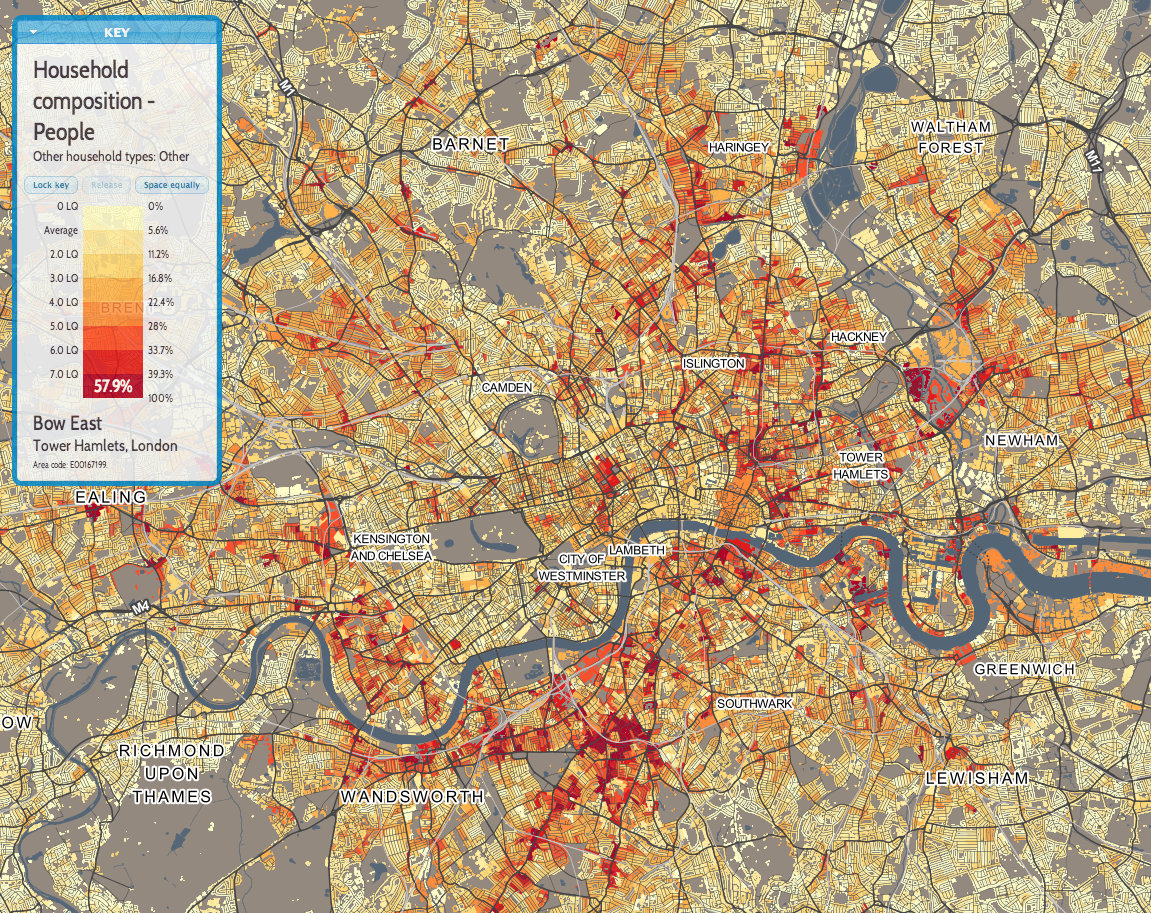
This is the first of a few maps that we will feature over the next few months, that use the new DataShine mapping platform developed
More...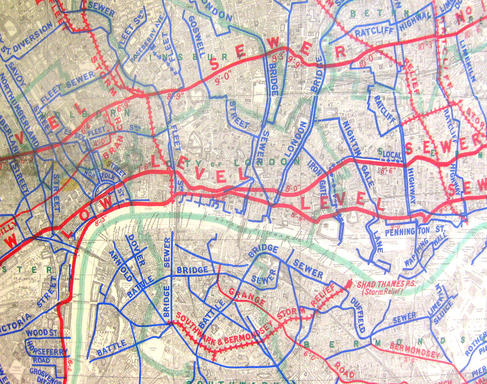
London has many networks – roads, tube trains, electricity, water – but there is another key one, one which was very important in allowing London
More...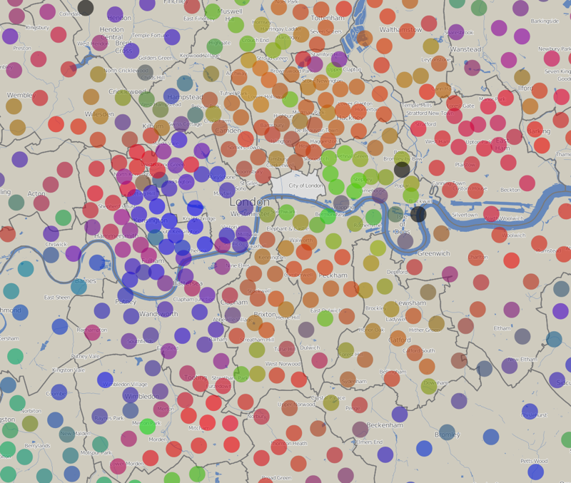
The above graph shows the results of the council elections that took place last week for each of the ~600 wards in London. The colours
More...