Transport for London have published a London Digital Speed Limit Map (no longer online), showing speed limits for cars on a map of London’s public
More...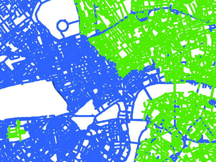
Highlighting the best London maps
Transport for London have published a London Digital Speed Limit Map (no longer online), showing speed limits for cars on a map of London’s public
More...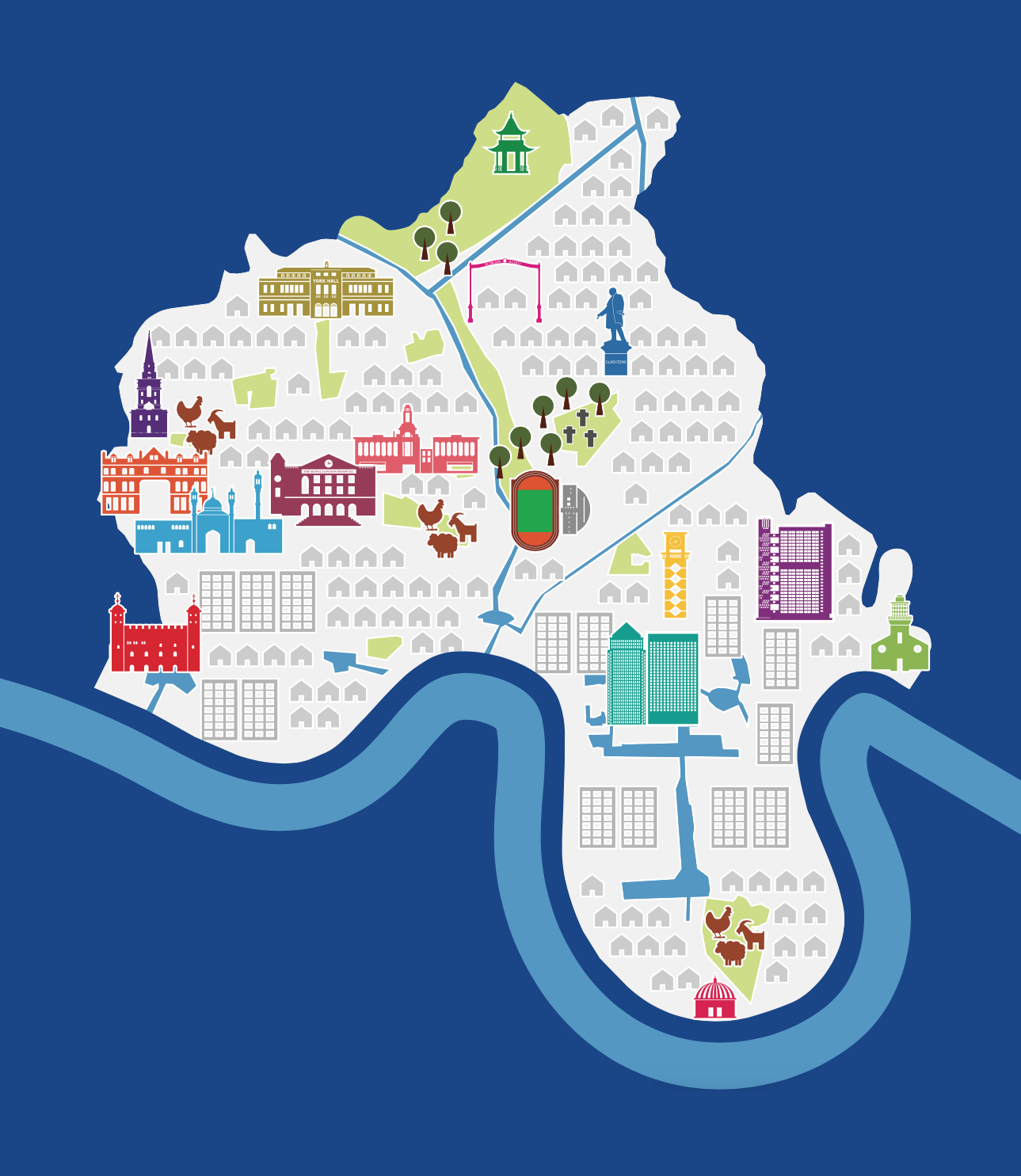
Tower Hamlets council, one of the 32 London borough councils, has produced this simple pictorial map as part of a consultation for “Tower Hamlets 2031”,
More...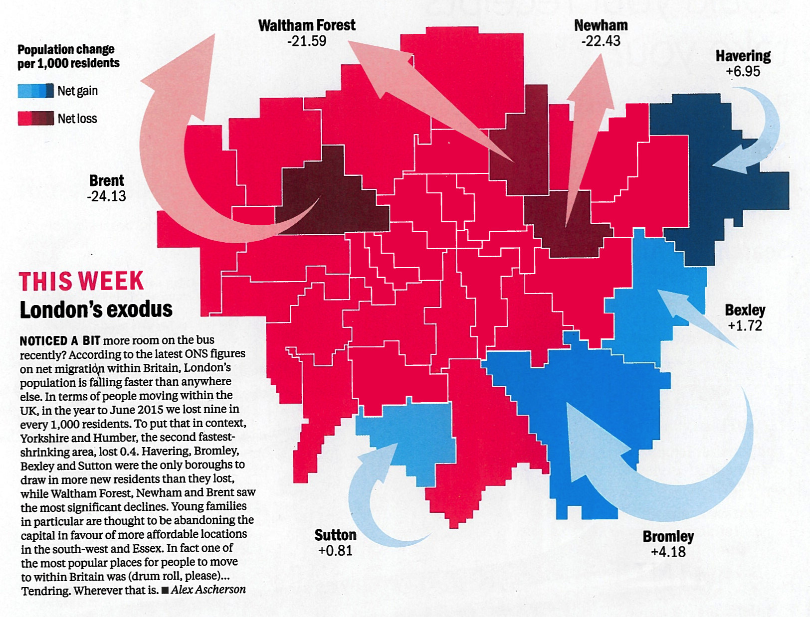
Time Out London, the venerable London free magazine, have spotted that everyone in London loves maps, and so have launched a regular London Mapped feature
More...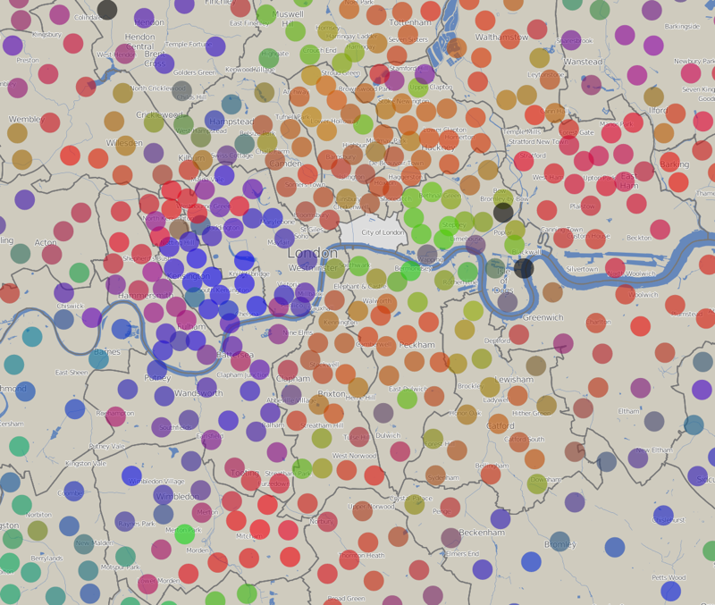
The above graph shows the results of the council elections that took place last week for each of the ~600 wards in London. The colours
More...
Mike Hall, illustrator and designer, has been painstakingly creating large poster maps of each of the London boroughs, largely by hand. Each map has a
More...