From Daniela Krug and Lars Malmqvist comes TubeViz – a nice visualisation of passenger entries to, and exits from, tube stations (not Overground or DLR)
More...
Highlighting the best London maps
From Daniela Krug and Lars Malmqvist comes TubeViz – a nice visualisation of passenger entries to, and exits from, tube stations (not Overground or DLR)
More...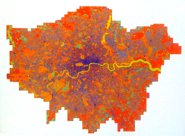
This map of mobile phone signal strength, produced by the GeoInformation Group this year, was one of the graphics featured in the exhibition that accompanied
More...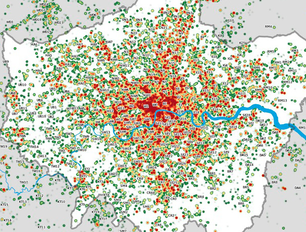
Many Twitter messages, or “tweets”, are sent with latitude/longitude information, allowing an insight into the places where the most amount of tweeting happens. For a
More...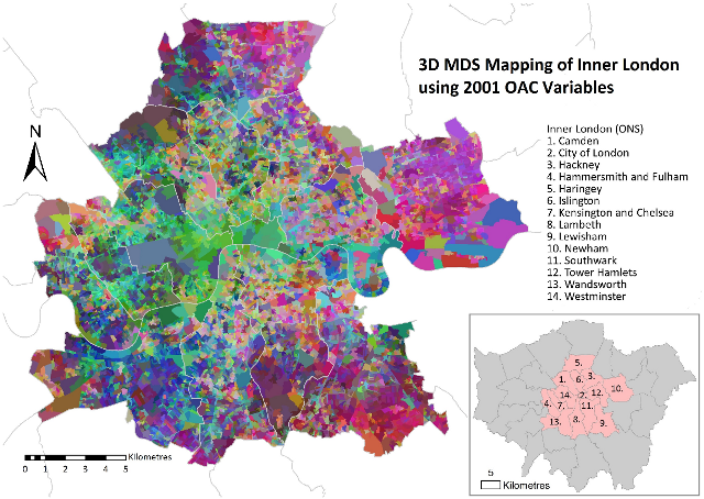
Daniel Lewis, a Geography Ph.D student at UCL, has produced this map of inner London, using multidimensional scaling (MDS) to simultaneously depict 41 geodemographic measures of each area.
More...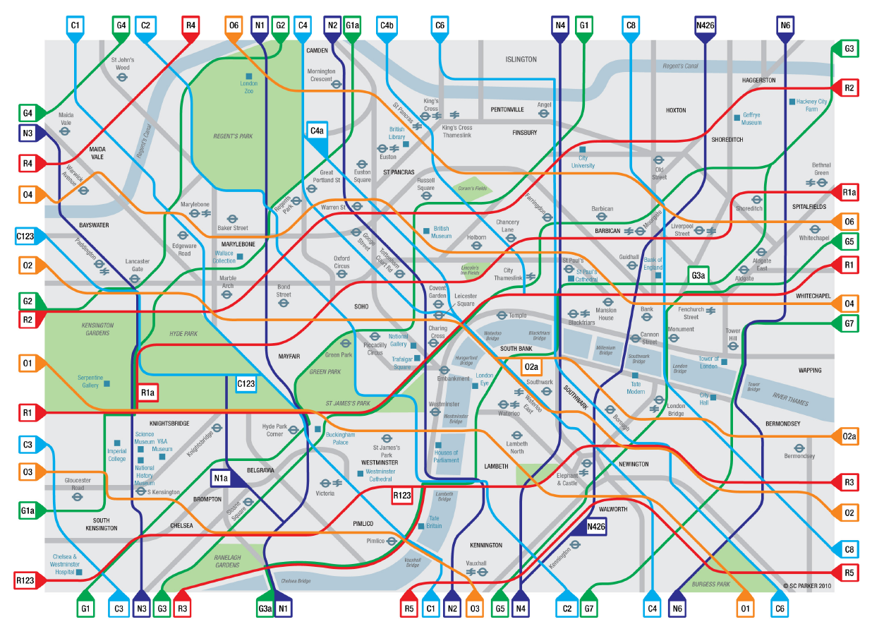
Congratulations to Cycle Lifestyle, who have won £6000 in funding for “creating a colour coded Tube style map of the Capital’s cycling network” in the
More...
Readers may be interested in the London Mapping Festival, a grouping of several events relating to mapping in London, that takes place over the next
More...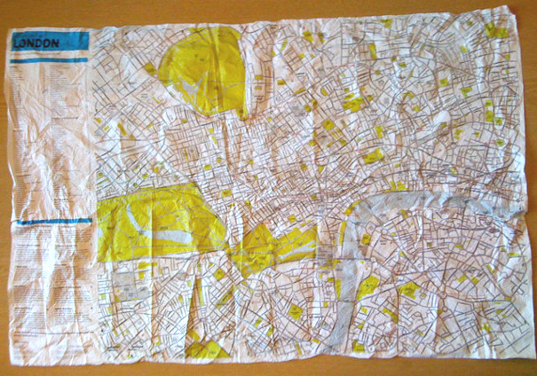
This is the Crumpled City Map of London. Part of a series, including New York, Paris and Rome, and produced by an Italian company, the
More...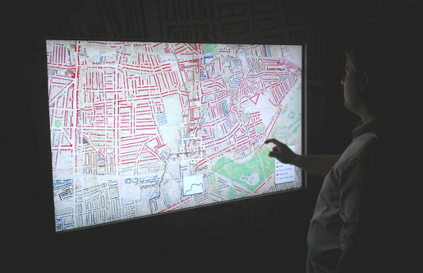
Charles Booth’s 1899 Poverty Map of London is a seminal work in the history of London maps and the development of geodemographics (characterising people based
More...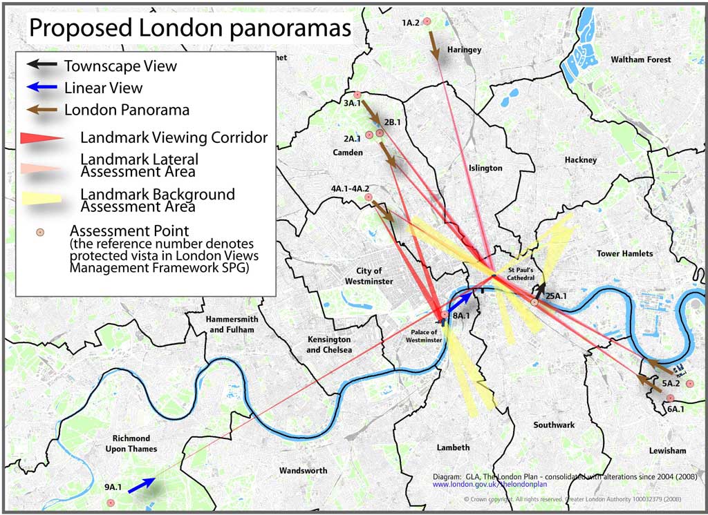
A map, tucked away on the GLA’s London Plan website, reveals graphically the legally “protected vistas” in London – generally views from certain parks in
More...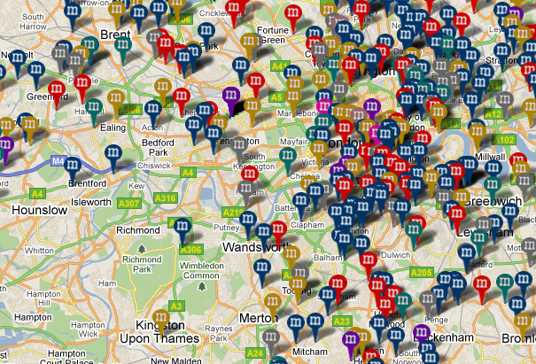
MurderMap is a manually curated map of homicides in London, based on records from the Central Criminal Court, aka the Old Bailey. The map’s creators
More...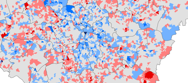
Chris Gale, a fellow UCL Geographer, has produced these maps showing the change in deprivation scores in London between 2007 and 2010. They show a
More...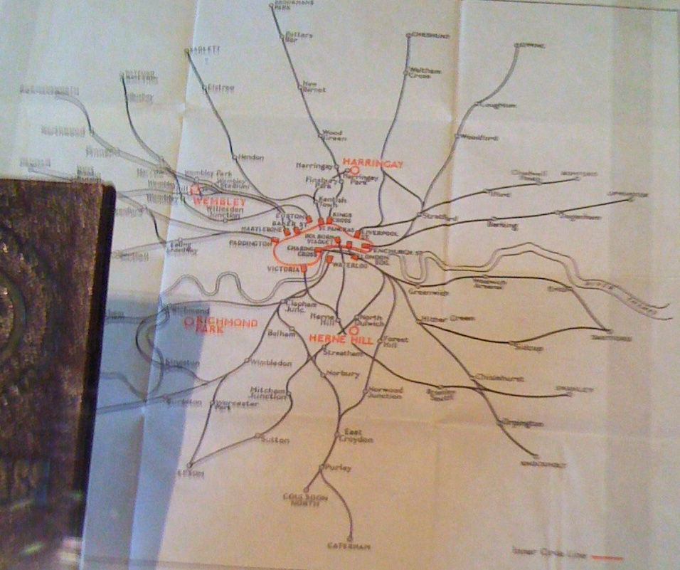
I came across this map of London train lines and underground routes in 1948, part of a guide and travel-card given to competitors at last
More...