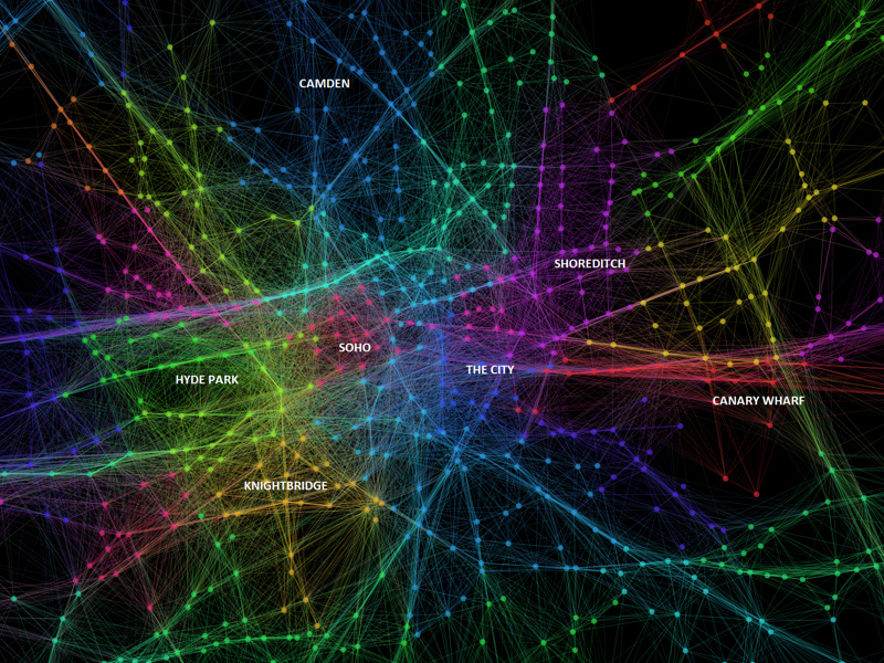
Dr Ed Manley (@EdThink), a research associate on the Mechanicity project here at the Centre for Advanced Spatial Analysis, created this dramatic, colourful graphic (excerpt above) of popular routes used by one of the major private hire cab companies in London, using Gephi. The work was created using data from over 1.5 million journeys. Distinct zones, within which many journeys start and finish, form out of the network, and have been coloured to distinguish them from adjacent zones. Some zones are based within a particular small neighbourhood, within which short cab journeys are popular, such as Soho and Knightsbridge. Others stretch along the major road corridors, such as from Heathrow to the City of London, or along The Highway between the City and Canary Wharf.
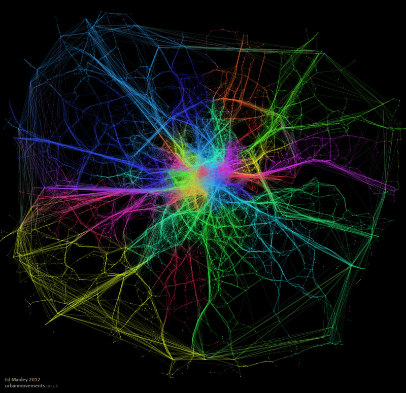
More information on the graphic, and the research behind it, is in this blog post from Ed. The post also includes much larger versions of the graphics here. Below is a version of the graphic covering the whole of Greater London – the M25 orbital motorway is clearly visible.
We featured an alternative map based on the same dataset, also by Ed, earlier this year.
Congratulations to Ed who successfully defended his Eng.D thesis at his viva yesterday, and so becomes the newest Dr at CASA!


Well done Dr Ed!