Dr Ed Manley (@EdThink), a research associate on the Mechanicity project here at the Centre for Advanced Spatial Analysis, created this dramatic, colourful graphic (excerpt
More...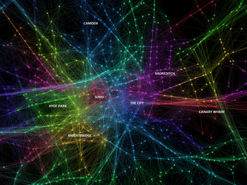
Highlighting the best London maps
Dr Ed Manley (@EdThink), a research associate on the Mechanicity project here at the Centre for Advanced Spatial Analysis, created this dramatic, colourful graphic (excerpt
More...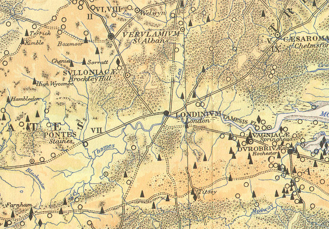
Here is part of a map, The Map of Roman Britain, Second Edition, published by the Ordnance Survey in 1931 and scanned by Bibliographics. The
More...