Air pollution has long been a problem in London, and the current mayor has identified pollution as one of his major goals to highlight and
More...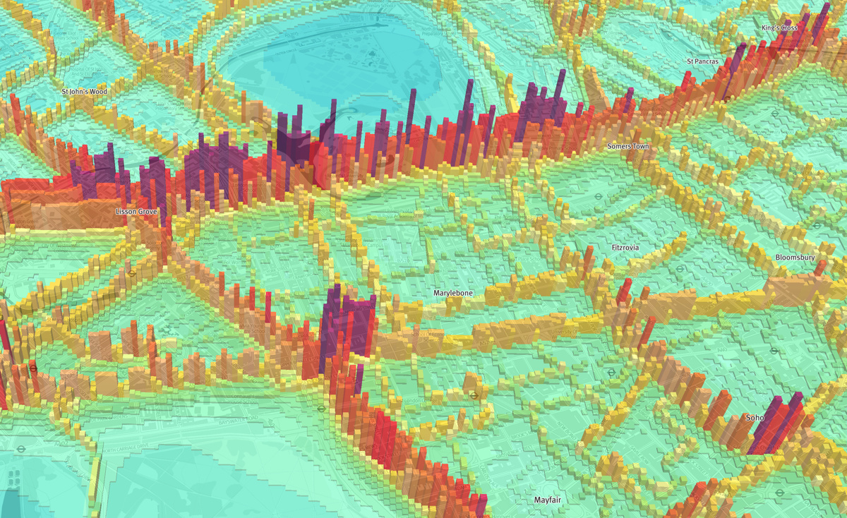
Highlighting the best London maps
Air pollution has long been a problem in London, and the current mayor has identified pollution as one of his major goals to highlight and
More...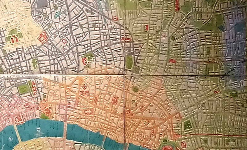
Is this London’s first 3D map? The vivid and historic map of London in 1842, coloured by district, has one unusual feature – it’s embossed.
More...
Google yesterday released their 3D map for much of inner city London – roughly, most of Zones 1-2 and parts of Zone 3, now visible
More...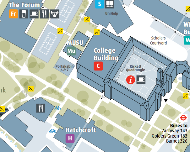
As a followup to last week’s post about university campus maps in London, my attention was drawn to the Middlesex University campus map which I
More...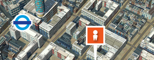
Recce is an iPhone app which locates you on a map and shows you various POIs (points of interest) on demand such as local coffee
More...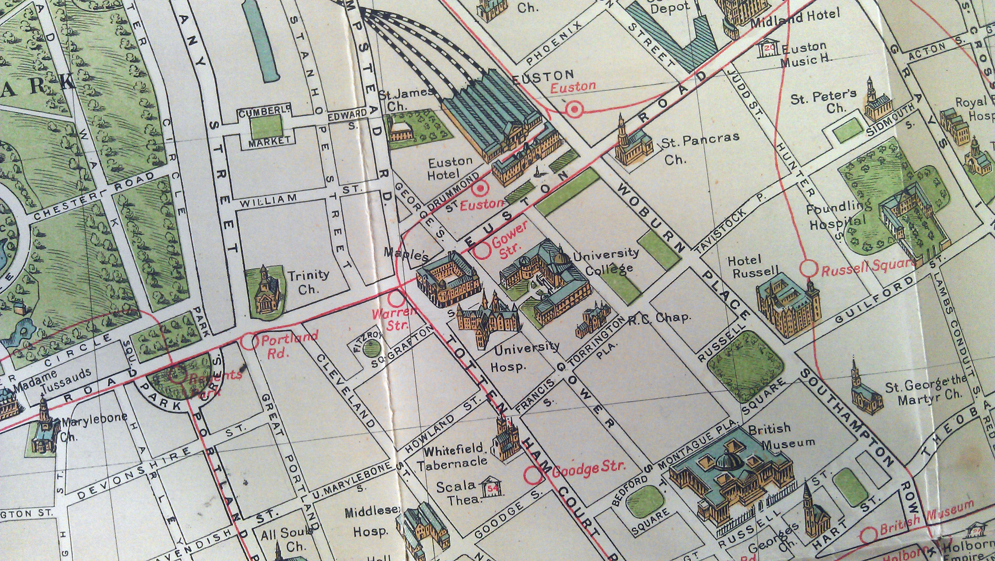
I recently managed to get my hands on one of my favourite maps of London. It is produced by G.W. Bacon and Co. Ltd and
More...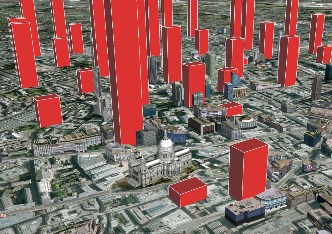
Adrian Short, provider of one of the main 3rd-party APIs for the Barclays Cycle Hire scheme in London – the Boris Bikes API – has
More...