You may remember this map produced by Mapping London co-editor James in 2012. A version of this map appears in a journal article published by
More...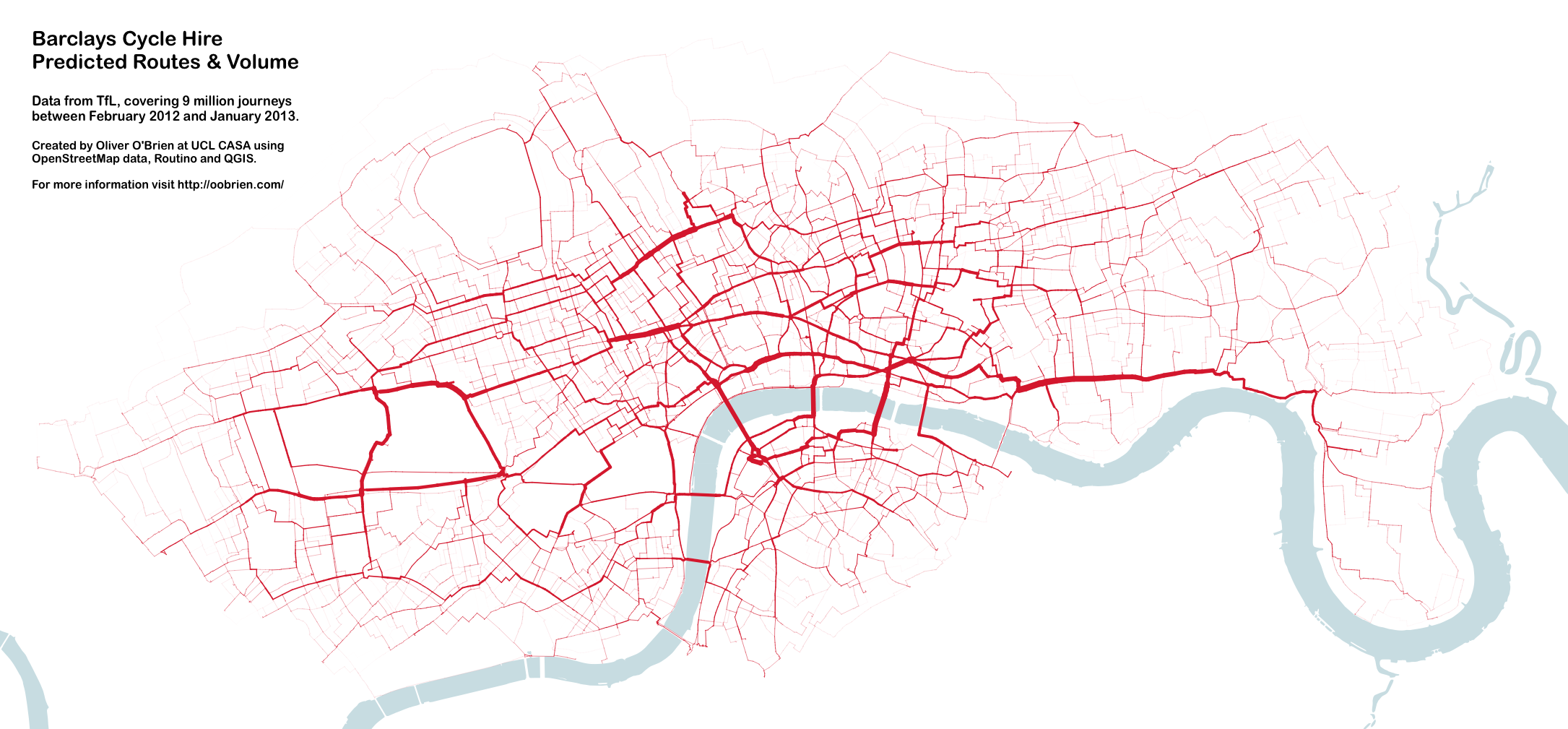
Highlighting the best London maps
You may remember this map produced by Mapping London co-editor James in 2012. A version of this map appears in a journal article published by
More...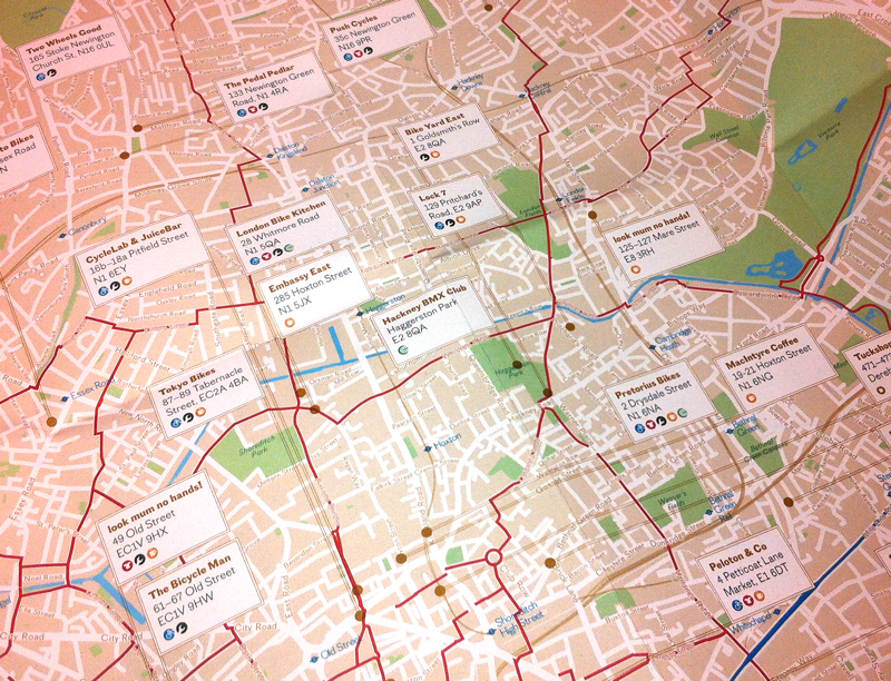
Over half a million cycle journeys now take place in London every day, and a whole service industry has grown in the capital, to cater
More...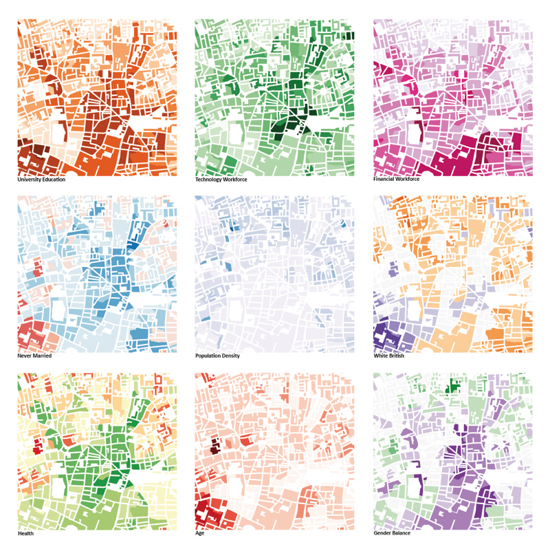
This was the submission by the Mapping London editors into the 10×10 Drawing the City London 2013 art event, which was a charity auction run
More...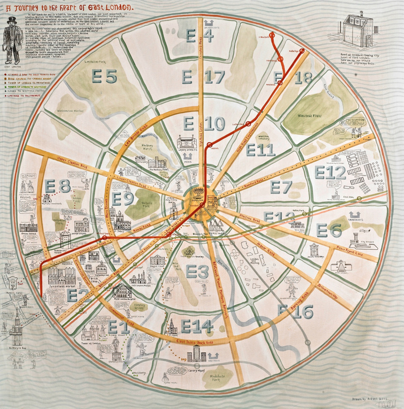
We are big fans of maps based on a circle and of Adam Dant’s work so this map, which combines the two, is a real
More...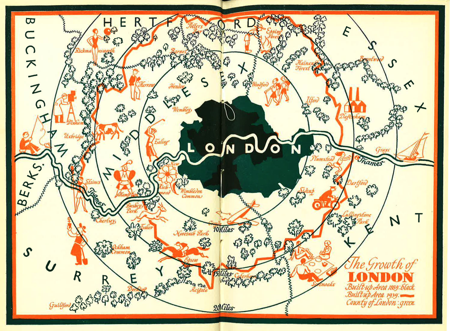
I was intrigued by this blog post of a lovely looking map of London’s Green Belt, dated 1939. The map can be compared a modern
More...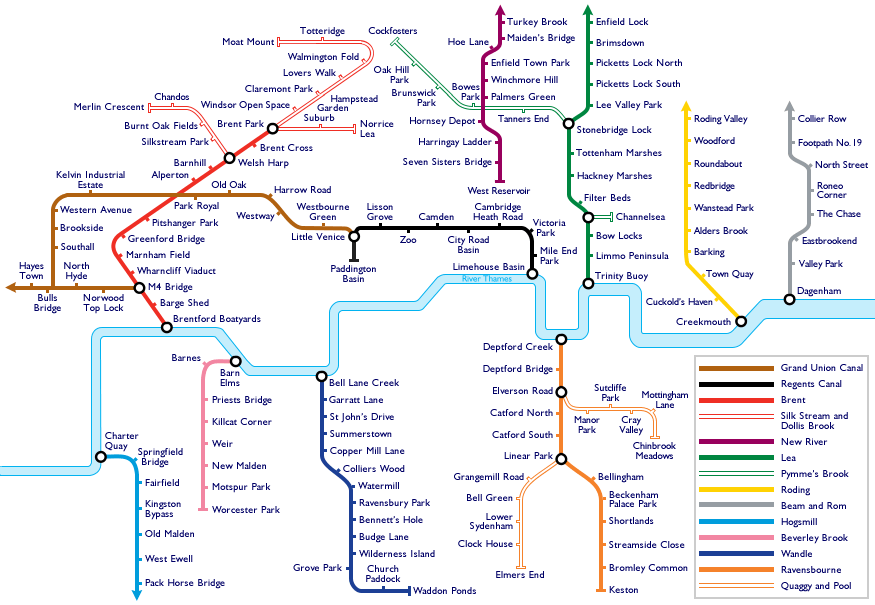
Travelling around London is a little harder today. With a tube strike on, the roads are clogged with traffic jams, and the pavements are full
More...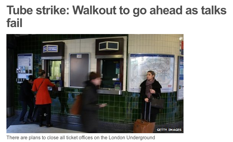
With two rounds of Tube strikes set to upset your daily commute, here are a few maps to help make the most of not being
More...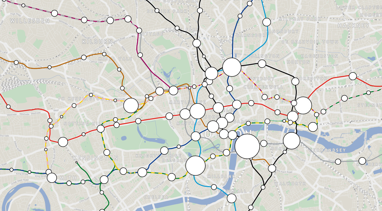
London Tube Data Map takes ten years worth of passenger entry/exit counts for stations on the London Underground network, and sizes the circle representing each
More...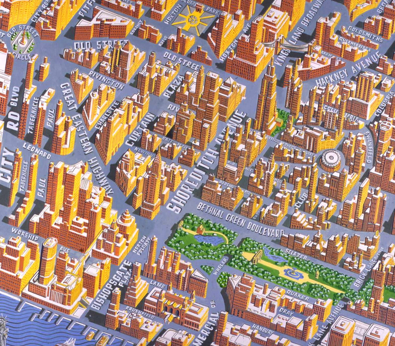
Today, Mapping London brings you not one, but eight maps from prolific cartographer/artist Adam Dant, via the excellent hyper-local blog Spitalfields Life. Firstly, Stories of
More...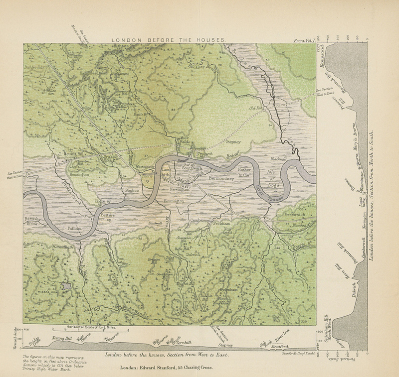
This map (full size version) is a plate in “A History of London” by John William Loftie which was published in 1884. It is one
More...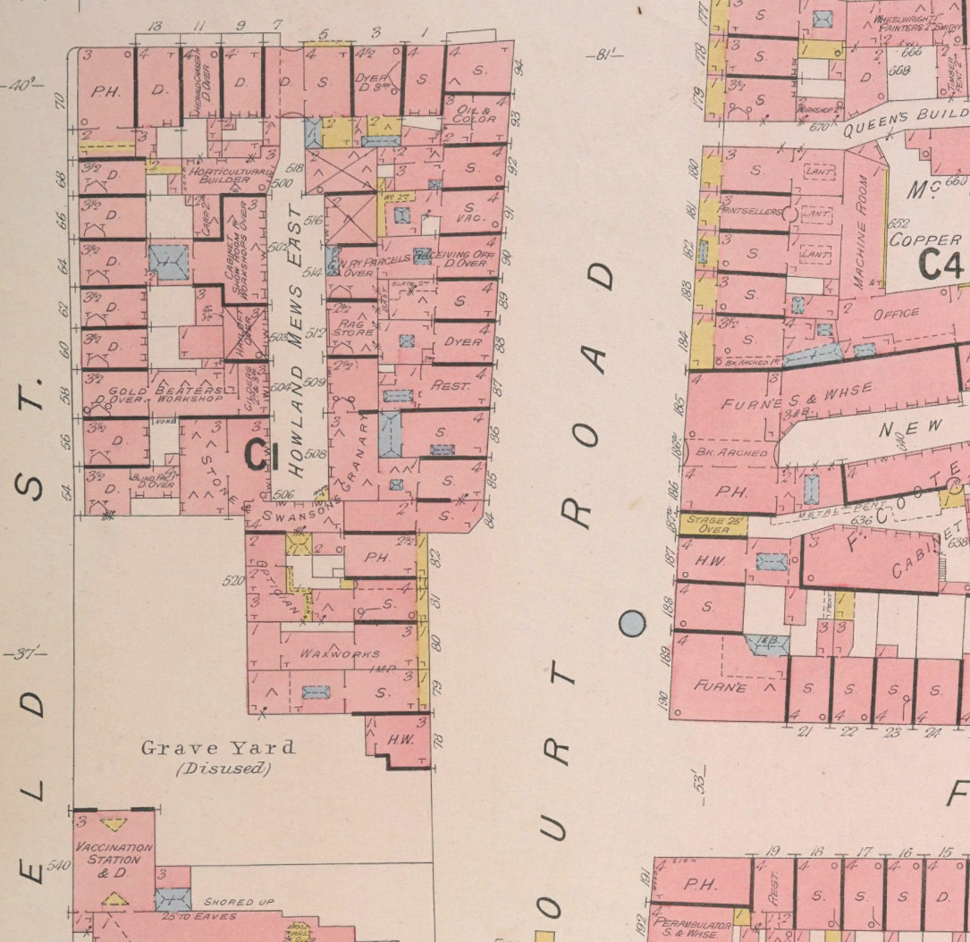
The British Library has launched a portal to let people georeference thousands of historic maps in their collection which have been recently digitised, allowing the
More...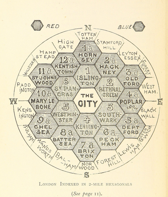
This map is taken from an book “The Unification of London: The Need and the Remedy” written by John Leighton and published in 1895. London
More...