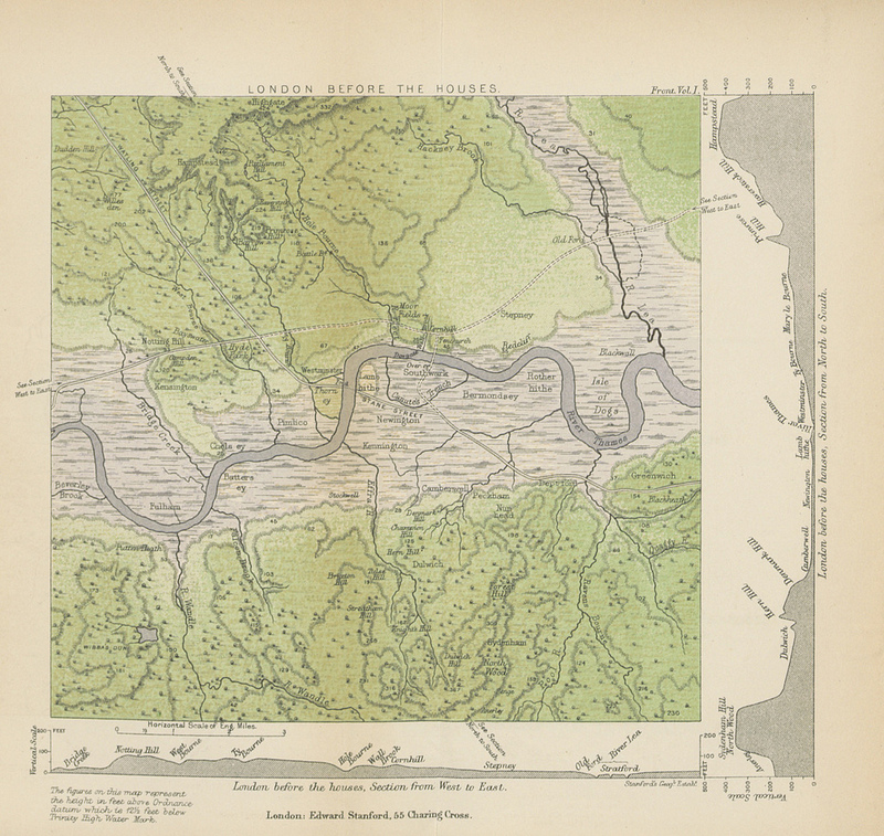
This map (full size version) is a plate in “A History of London” by John William Loftie which was published in 1884. It is one of the million images that were uploaded to Flickr by the British Library in December.
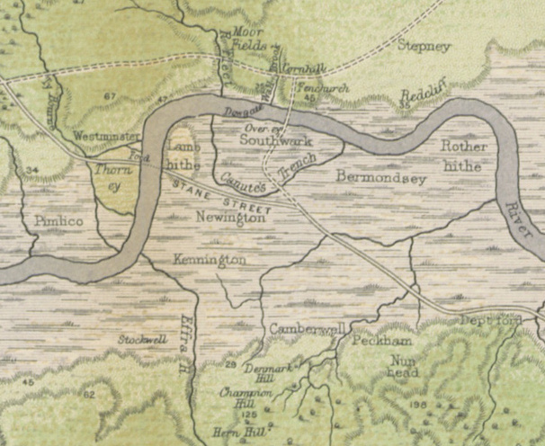
London’s ancient ways (Watling Street, Stane Street) appear, along with various rivers that are mainly underground/culverted now: Bridge Creek, the River Effra, the River Fleet (intriguingly, called Hole Bourne further upstream – its older name), West Bourne, Ty Bourne and so on. Also shown is “Canute’s Trench”. Green shading suggests woodland while the marshes that form the flood plane of the Thames are left in grey.
It’s not entirely clear whether London would ever have looked like this. The city has had buildings since Roman times, and 2000 years ago, the River Thames was quite a bit wider than the near present day width that the map shows. The PDF of the book is here. The first 24 pages of the book are concerned with describing this map in great detail.
Part of the British Library’s Million Images on Flickr project.


I am not a historian but looking at this map with the land profile down the sides of the page, reminds me more of a standard survey map. This is similar to the offshore survey maps which we currently produce with the topography central and then the profile underneath.
Maybe this is an early elevation map rather than a true depiction of the surface?
You guys may also like this video: A Shot-By-Shot Video Comparison of London in 1927 & 2013
http://www.thisiscolossal.com/2014/01/london-in-1927-and-2013/
You can compare this map to one of first ever maps of London – see here http://freepages.genealogy.rootsweb.ancestry.com/~genmaps/genfiles/COU_files/ENG/LON/london1553_.htm – its dated 1553