It’s very hot in London today, and tomorrow. It’s best not to be out and about at all, but if you need to be in
More...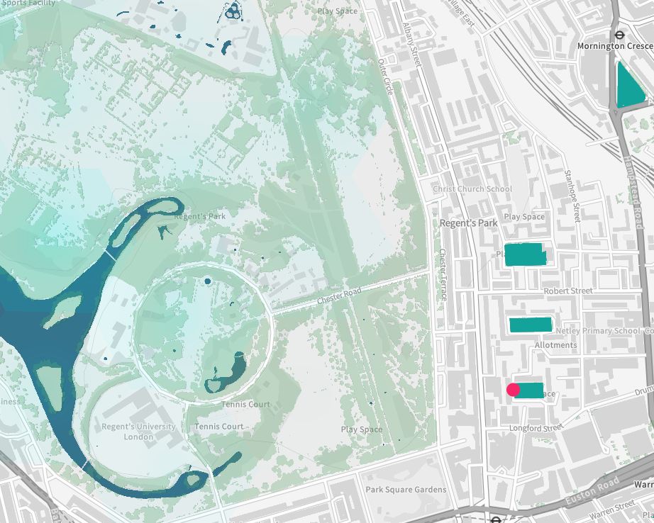
Highlighting the best London maps
It’s very hot in London today, and tomorrow. It’s best not to be out and about at all, but if you need to be in
More...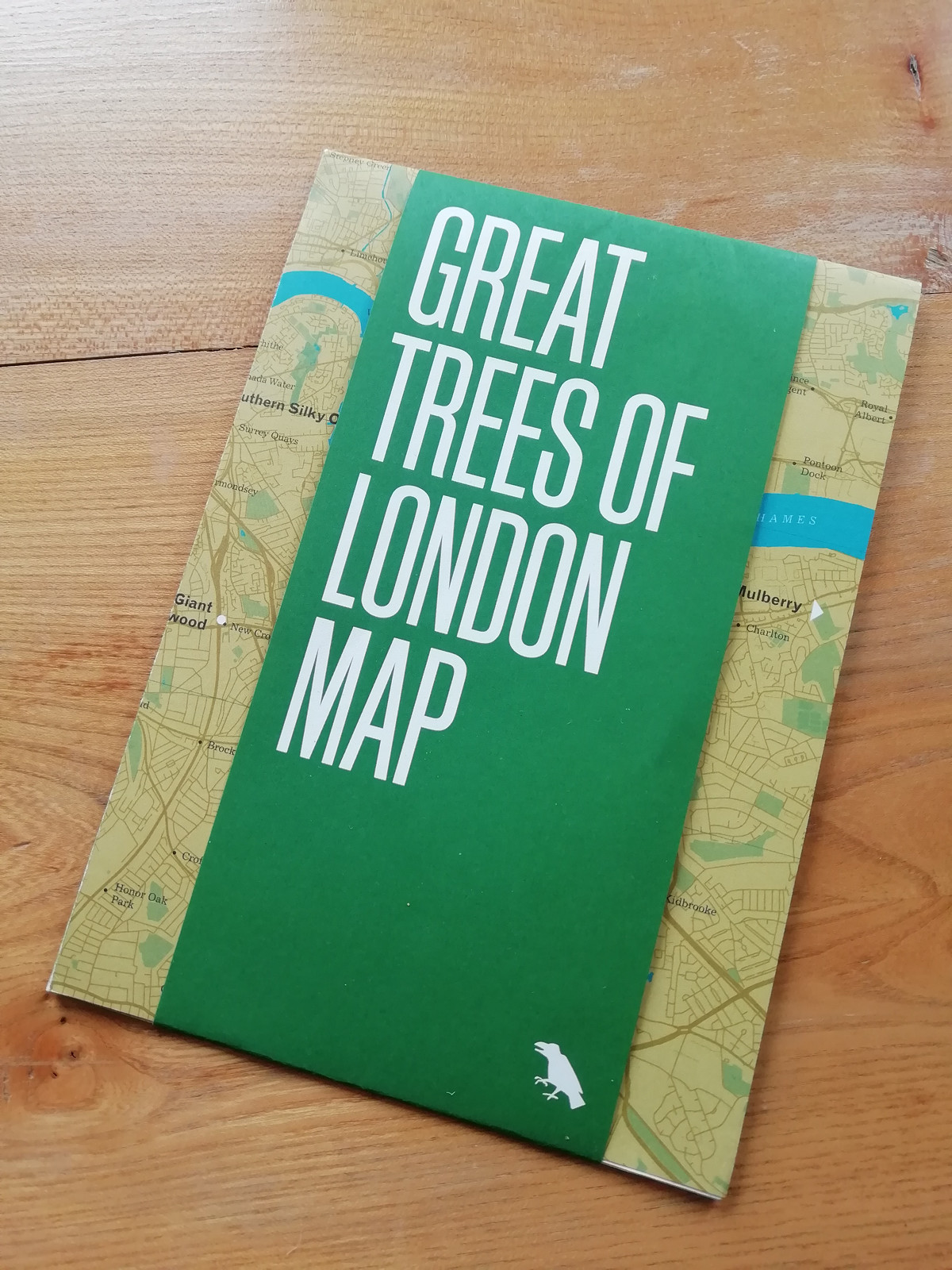
Blue Crow Media, long-time makers of bespoke themed maps of London and other places, have switched from their regular architecture focus and produced a lovely
More...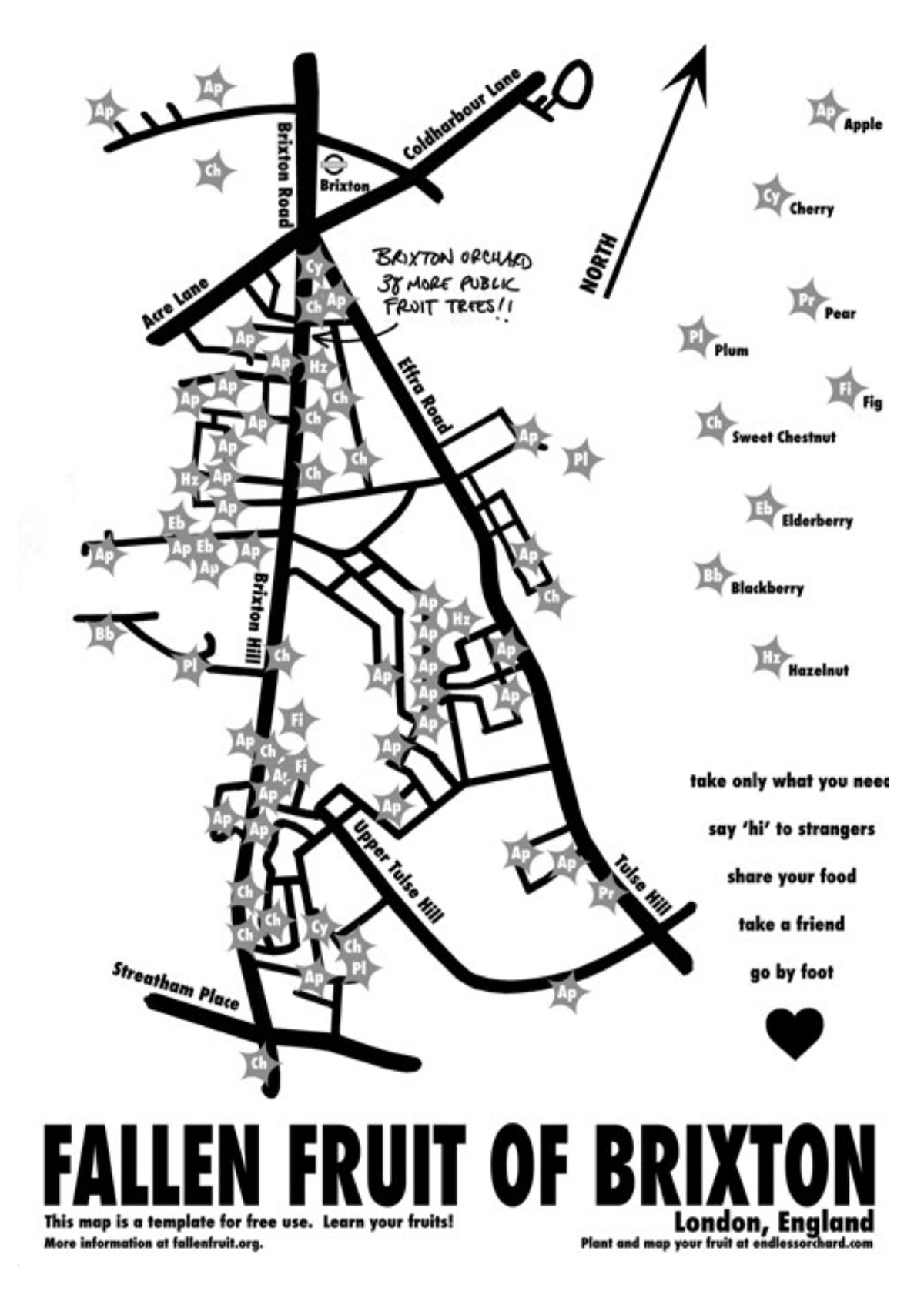
The Fallen Fruit project, by David Allen Burns and Austin Young in the US, allows communities to map publically owned/accessible trees in their neighbourhood which
More...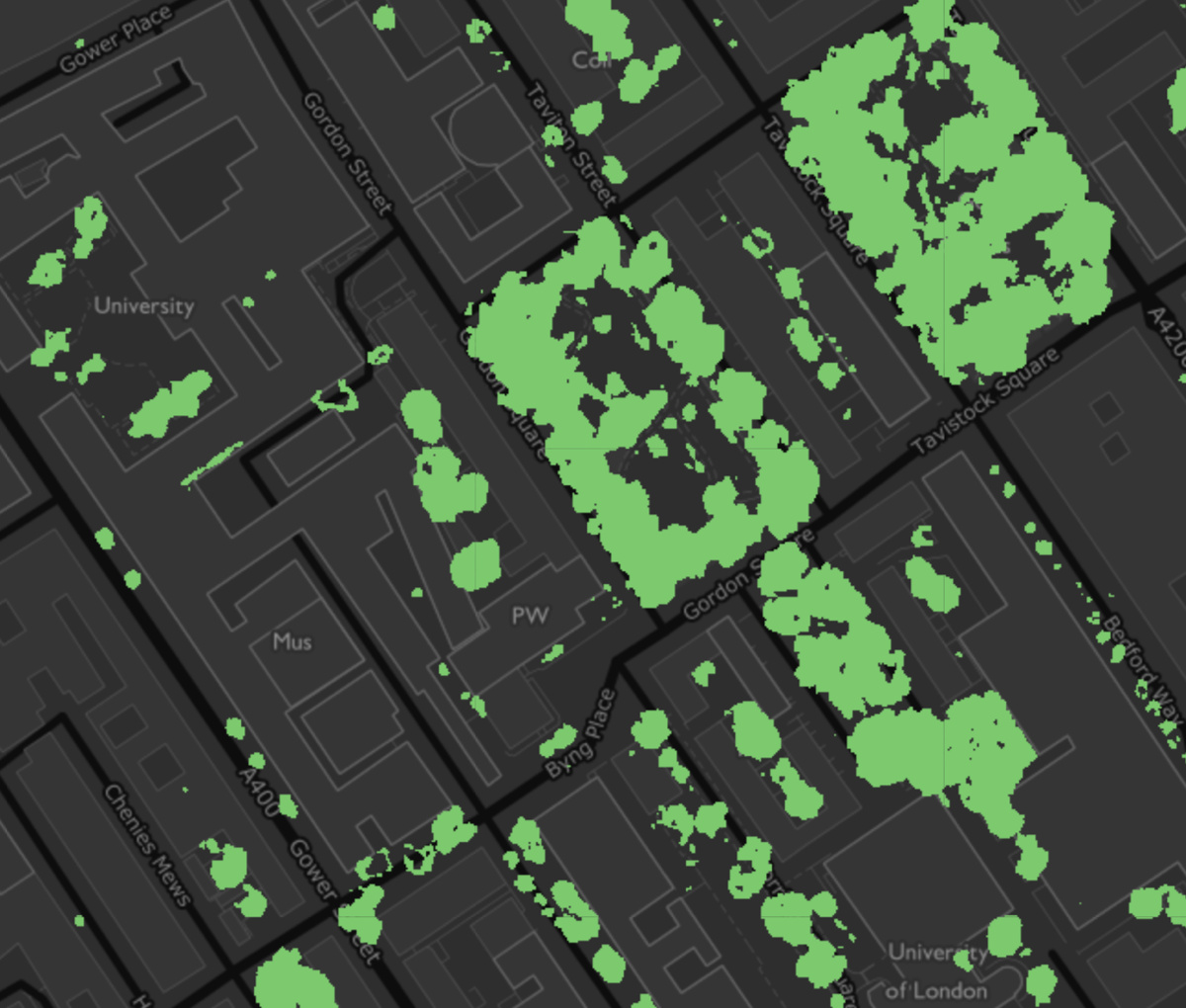
The Greater London Authority has published a data map, showing the locations within London where tree canopies can be seen from overhead. There are about
More...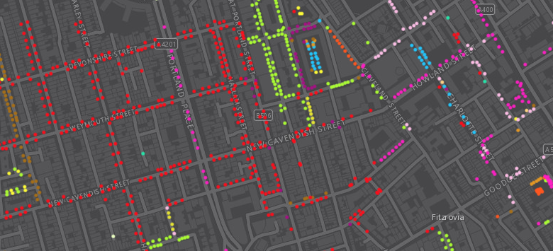
Following a data release of Southwark’s publically maintained trees a couple of years back, the Greater London Authority recently published a map which shows street
More...
This is a cross-post from oobrien.com. Above is an excerpt of a large, coloured-dot based graphic showing the locations of street trees in Southwark Borough
More...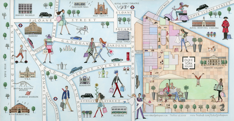
Here’s a beautiful hand-drawn map by Camilla Charnock, who was commissioned to draw it for a new retail development at Sloane Square in west London.
More...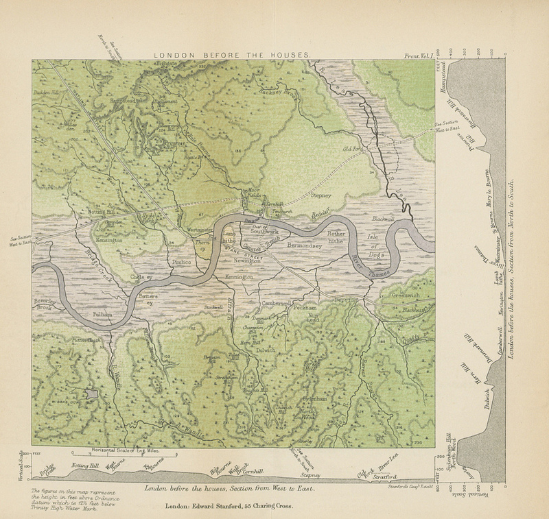
This map (full size version) is a plate in “A History of London” by John William Loftie which was published in 1884. It is one
More...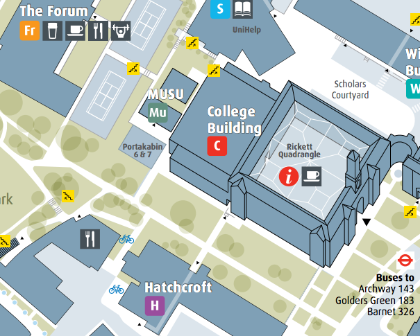
As a followup to last week’s post about university campus maps in London, my attention was drawn to the Middlesex University campus map which I
More...