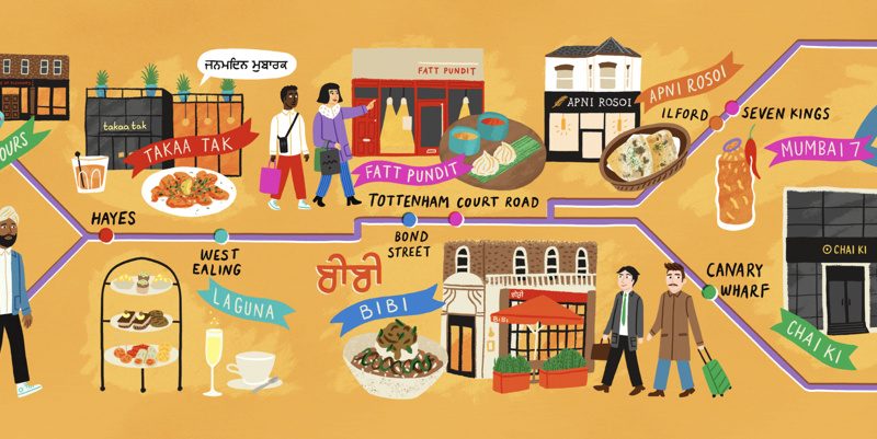
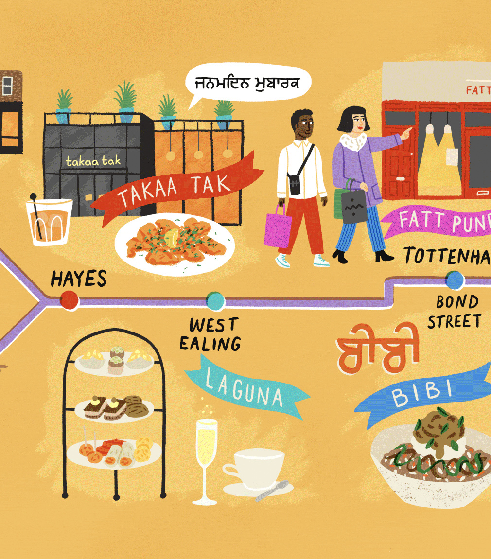
The FT published an article called “An Indian restaurant crawl along London’s Elizabeth Line” which came illustrated with this rather nice map that shows the simple structure of the newly joined up railway through central London, along with the station stops for the restaurants reviewed in the article. The article, part of their FT Globetrotter series, highlighted the Indian disapora in both east and west London, and how they are now connected by a single through-line, allowing for an easy “restaurant crawl” between Seven Kings in the east (past Stratford) and Hayes, plus Reading, out beyond west London for those on a more long-distance culinary journey.
The map does simplify the Elizabeth line’s services but also shows the basic “Feynman diagram” of the line, with branches on either end, and a common core. Alongside are illustrated the featured restaurants themselves.
The map was drawn by illustrator Ruby Taylor.
One comment