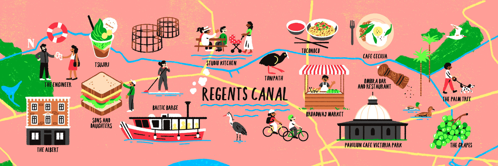
Following on from the colourful map of curry restaurants along the new Elizabeth line, Mapping London spotted this earlier map in the FT Globetrotter series, created by the same artists and featuring a number of eateries along the Regent’s Canal that spans inner north London, from the Regent’s Park to Victoria Park. The map is, as would be expected, in a similar style, with its simplicity and attractive colour ramp adding appeal to the story. Here, the canal forms the linear and horizontal focal point of the graphic, like the new railway line was in the previously featured map.
Mapping London looks forward to the third London food map in a possible trilogy – fish restaurants along the Thames, maybe?
Drawn by Ruby Taylor.