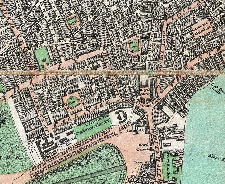

From Geographicus, a US map dealer, by way of a tweet by Rentonomy, an article in CityMetric and a collaboration with Wikimedia, comes this high-resolution scan of a beautiful old pocket map of London. Over 200 years old, and drawn by Edward Mogg, it is a snapshot of London from before the days of Zone 2, railways or skyscrapers. Within the built-up area, surprisingly little has changed – many familiar streets and landmarks have their shape and name retained.
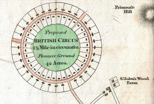
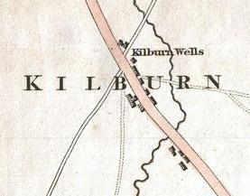 The most striking part of the map, therefore, are the largely empty surroundings that are now almost entirely built on. Gower Street, subsequently home to what is now University College London, ends about halfway along its current length, with the road network drawn in outline and no houses shown. Camden Town and Somers Town stand isolated from the metropolis. St John’s Wood is a farm. Just to the north of it is depicted the “British Circus”, a proposed (but never built) development based around a 42 acre “pleasure garden” See below for an excerpt of the map for this area. It reminds me of the Inner Circle of the later built Regent’s Park. Nearby, Primrose Hill is shown with hachures, an attractive technique used to indicate hill slopes, which were popular before contours were invented.
I particularly like the careful but effective use of bright colours, to highlight the Thames, parks and major streets. Black borders create an attractive “shadow” around building blocks, giving the map a slight 3D effect. The wide canvas creases show that this map was designed to folded up and carried around by the early visitor or businessman. The exact date of publication – 1 May 1806 – is carefully inscribed on the map. The Geographicus page mentions that this was just the first edition of a series of maps by Mogg.
The full scan is available on Wikimedia and it is just one of a large collection of map scans donated by Geographicus, including several more historic ones of London.
The map and this scan of it are in the public domain.
That’s a great map, thank you. It’s interesting to look at the area now known as Angel on there – currently you have Upper Street with Essex Road forking off it, but on the old map you have High Street with Lower Street forking off it. So the relative (upper/lower) name stayed, but swapped roads!
Funny to see that it predates Regent Street and Trafalgar Square too, of course.