Several years ago, we featured some striking maps from a small exhibition at the London Metropolitan Archive. Each map was a detailed plan of a
More...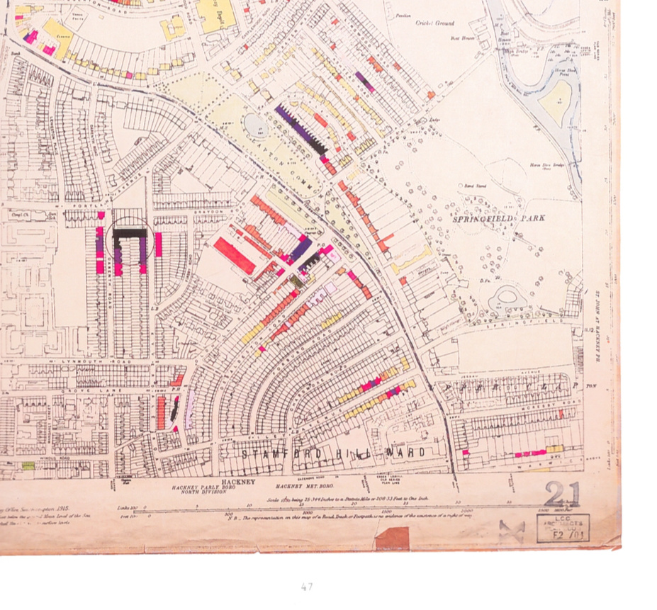
Highlighting the best London maps
Several years ago, we featured some striking maps from a small exhibition at the London Metropolitan Archive. Each map was a detailed plan of a
More...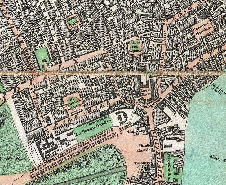
From Geographicus, a US map dealer, by way of a tweet by Rentonomy, an article in CityMetric and a collaboration with Wikimedia, comes this high-resolution
More...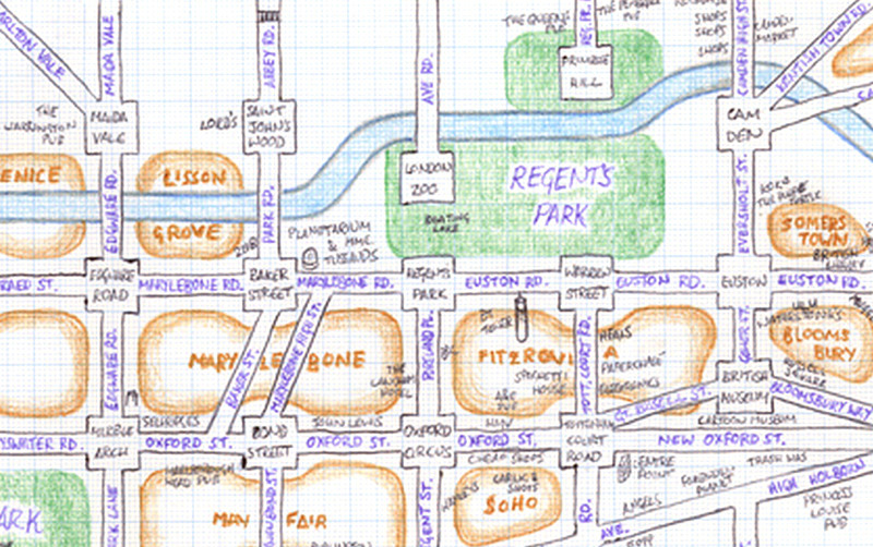
Mappa Lundi is a hand-drawn map of central London which simplifies the street network, districts, parks and tourist attractions into a simple, pseudo-grid like structure.
More...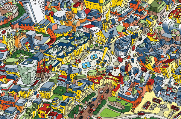
This cartoon of the area around Trafalgar square is a small section of a rather interesting caricature created by Hartwig Braun, of a view of
More...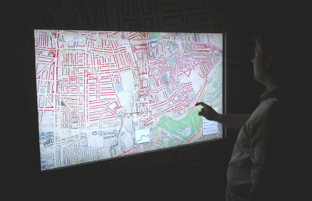
Charles Booth’s 1899 Poverty Map of London is a seminal work in the history of London maps and the development of geodemographics (characterising people based
More...