Crossrail is a huge project tunnelling out a new railway line under central London. We featured the Crossrail “live” maps showing the location of the
More...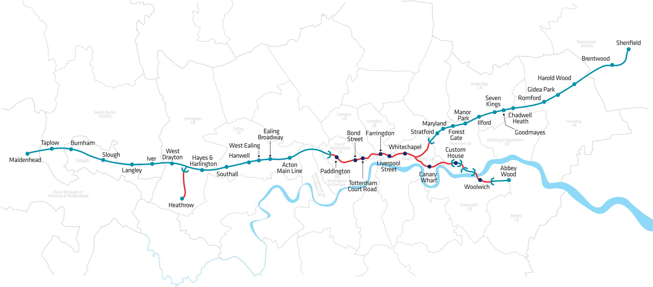
Highlighting the best London maps

Crossrail is a huge project tunnelling out a new railway line under central London. We featured the Crossrail “live” maps showing the location of the
More...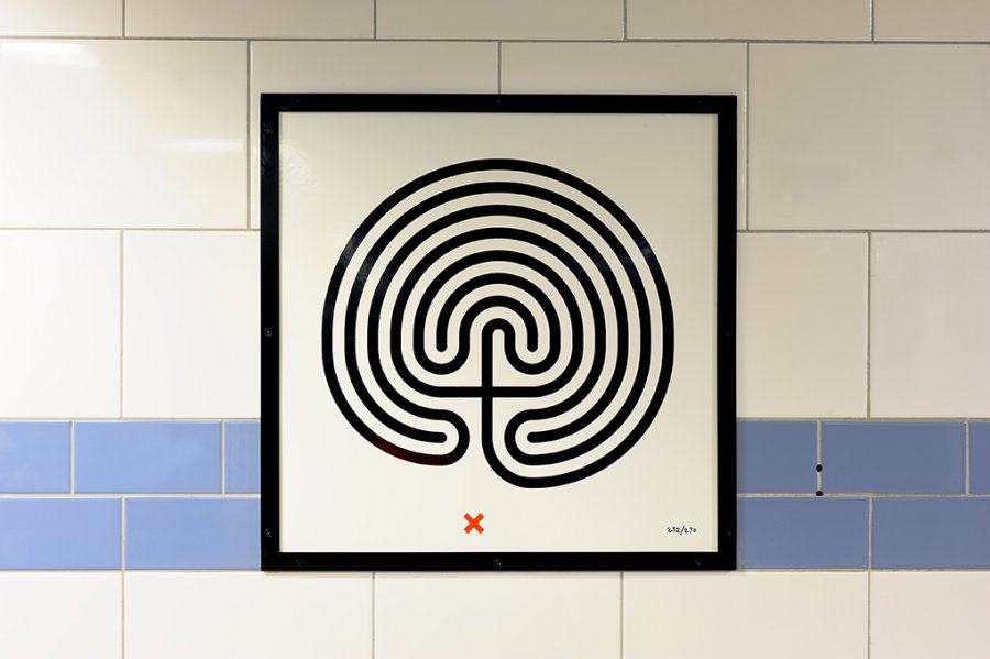
Last week I noticed a black and white maze on the wall next to the lifts at Caledonian Road station, it had a red cross
More...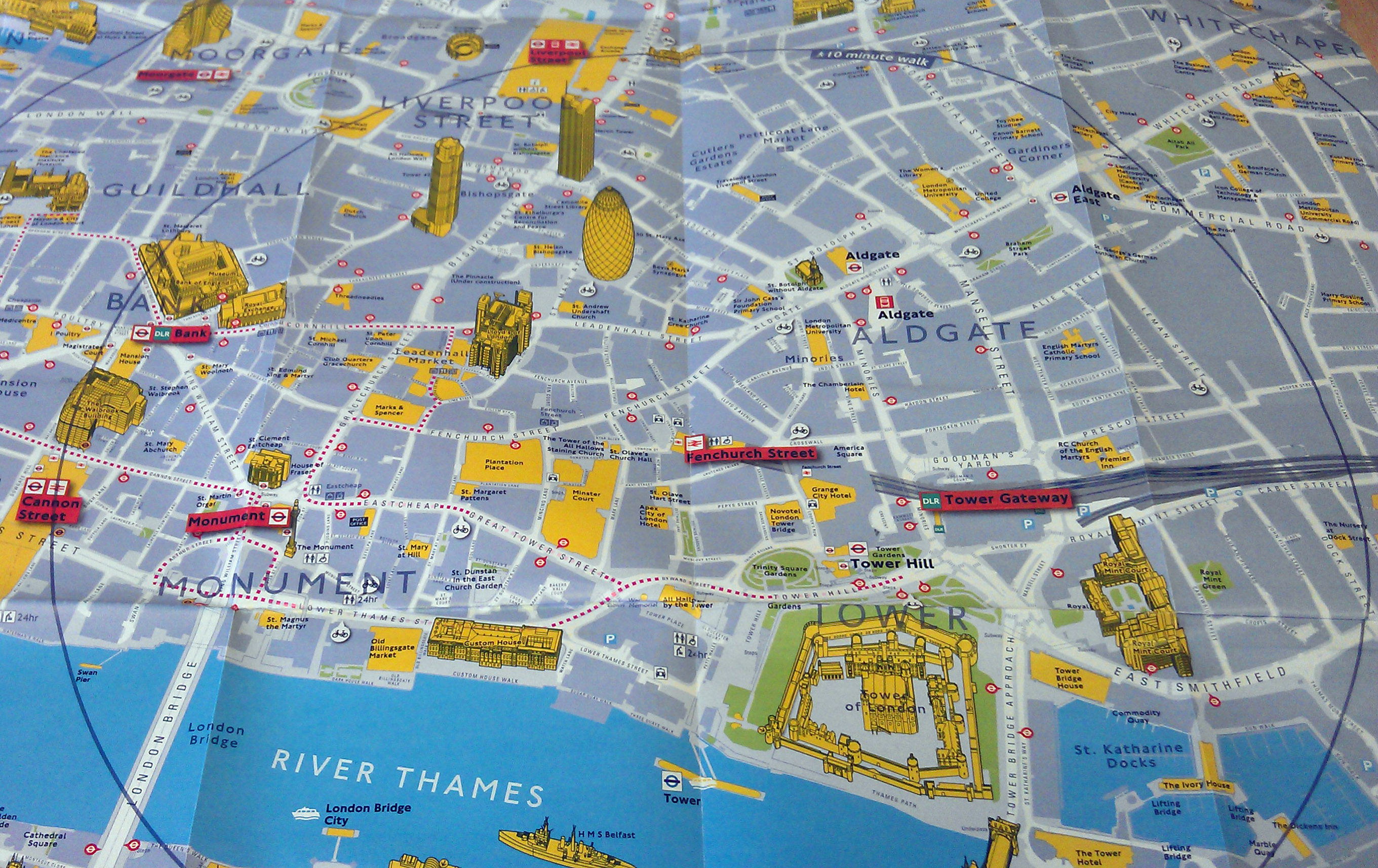
TfL have produced a nice range of maps to promote walking instead of public transport (especially during the Olympics). The maps use different cartography to
More...
Perhaps inspired by Joy Division’s Unknown Pleasures album cover (maybe a favourite for the commute?), Jon Reades (from UCL CASA– of course!) has created this beautiful
More...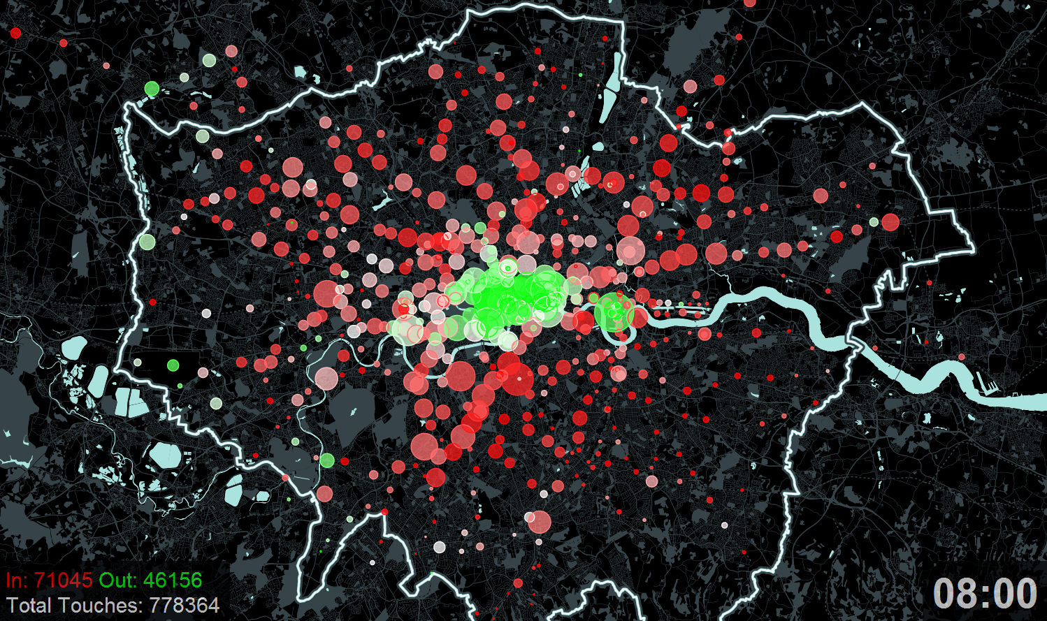
A new exhibition – Sense and the City – opens today at the Transport Museum in Covent Garden. It includes a number of transport data
More...
Another brilliant visualisation from UCL’s CASA, this time from Anil Bawa-Cavia. It visualises trips made on the London Underground using data gathered from Oyster Cards. Each trail is
More...