London has a lot more rivers than just the River Thames and River Lea – but many of the rest are either very small and
More...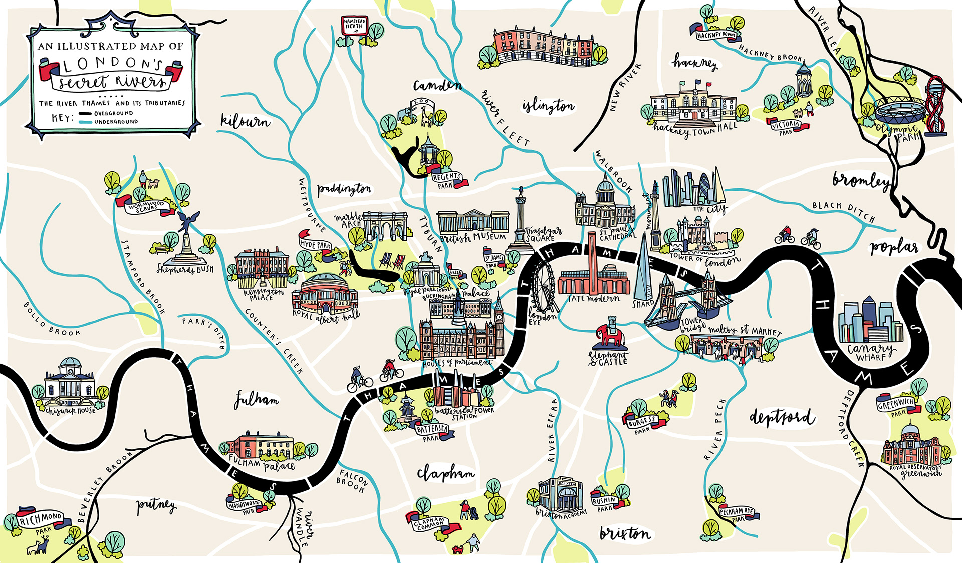
Highlighting the best London maps
London has a lot more rivers than just the River Thames and River Lea – but many of the rest are either very small and
More...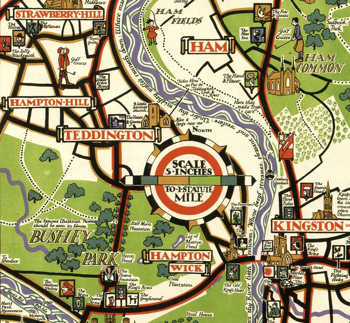
This decorative map, simply called “Kew”, was produced by Herry Perry of Vincent Brooks lithographers in 1929. It was part of a series of posters
More...
This stylised map of central London was created by MUTI, a South African design studio, and is “as seen in Mary Poppins Returns”, a film
More...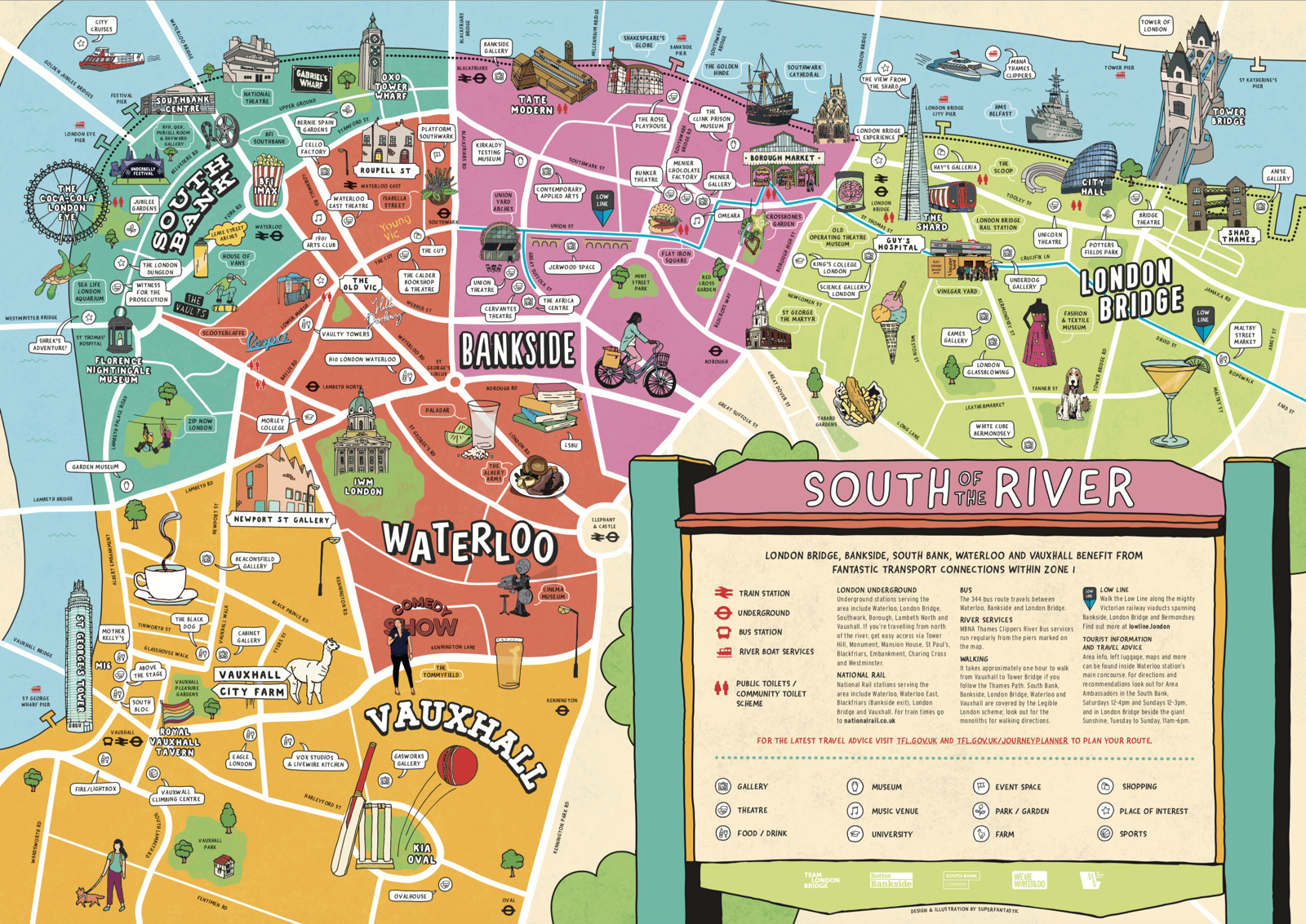
We featured a map showing London’s North Bank earlier in the summer – just in time for the peak holiday season, the rivals across the
More...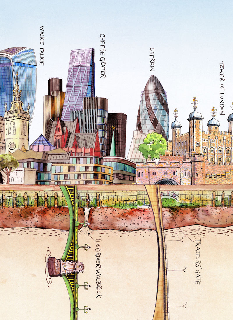
We featured Bridges of London earlier this week. However, the public realm relating to the Thames is more than the river itself and the bridges
More...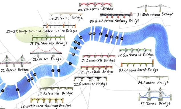
The River Thames is London’s defining geographical feature and its inclusion is almost mandatory on any map attempting to cover the whole of the capital.
More...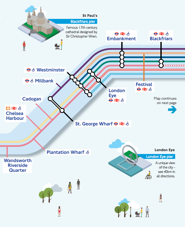
Londoners will be very familiar with the crowded London Underground services and their famous diagrammatic Tube Map, but might be less familiar with another public
More...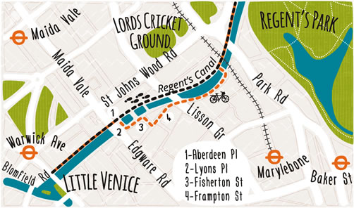
These attractive hand-drawn maps have been produced for a pocket guide “London’s Canals & Rivers” published by the Canal & River Trust by illustrator and
More...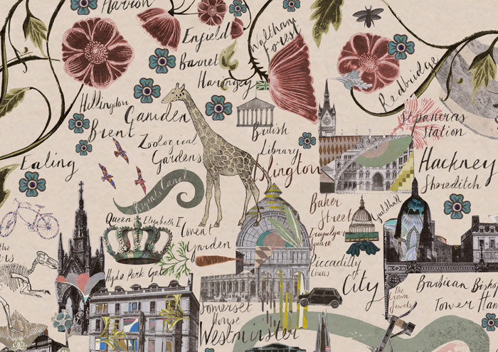
Mapping London stumbled upon this lovely cartographic art-piece of London, created by illustrator Josie Shenoy, at her stall at the South Bank Christmas Market (almost
More...