Today, a new version of the Greater London Authority (GLA)’s London Datastore launches, with an updated look, a new responsive data dashboard, and various new
More...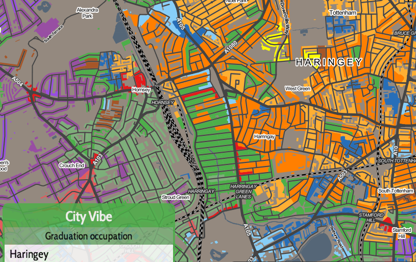
Highlighting the best London maps
Today, a new version of the Greater London Authority (GLA)’s London Datastore launches, with an updated look, a new responsive data dashboard, and various new
More...
This was the submission by the Mapping London editors into the 10×10 Drawing the City London 2013 art event, which was a charity auction run
More...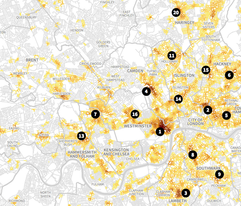
This is an extract of a map, by Matt Ashby, formerly of the UCL SECReT (Security and Crime Science) lab, that takes police.uk open data
More...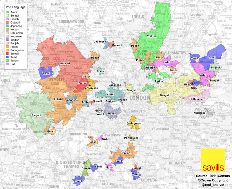
A map full of striking patterns, from Savills’ analyst Neal Hudson. It shows the areas of London where, for each area, the second most popular
More...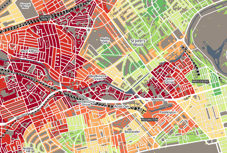
“Geodemographics of Housing in Great Britain – a new visualisation in the style of Charles Booth’s map” is a map that I have produced that
More...