This decorative map, simply called “Kew”, was produced by Herry Perry of Vincent Brooks lithographers in 1929. It was part of a series of posters
More...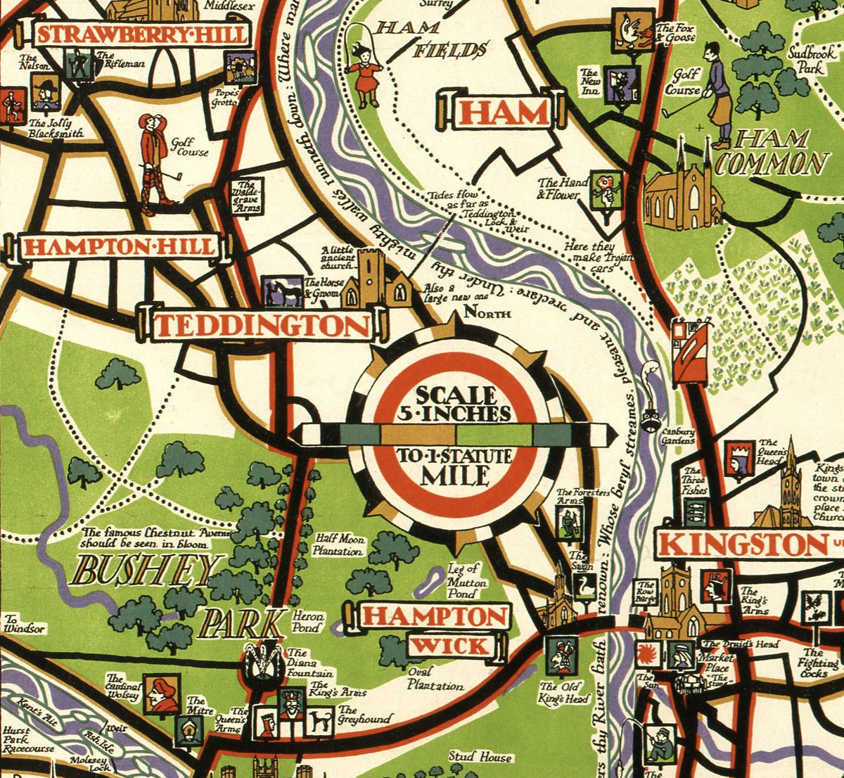
Highlighting the best London maps
This decorative map, simply called “Kew”, was produced by Herry Perry of Vincent Brooks lithographers in 1929. It was part of a series of posters
More...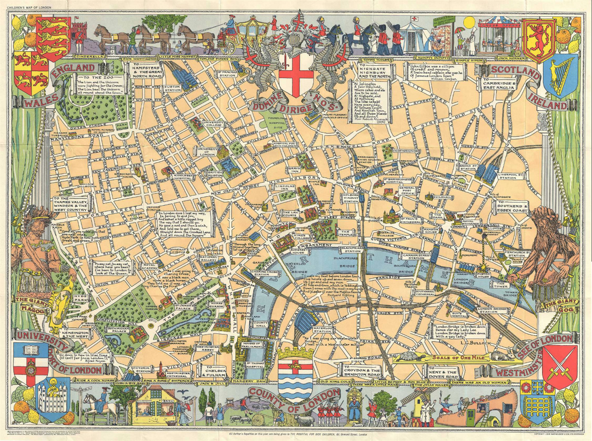
The Children’s Map of London (sometimes called the Children’s Pictorial Map of London) was drawn by Leslie Bullock and first published by Bartholomew in 1938,
More...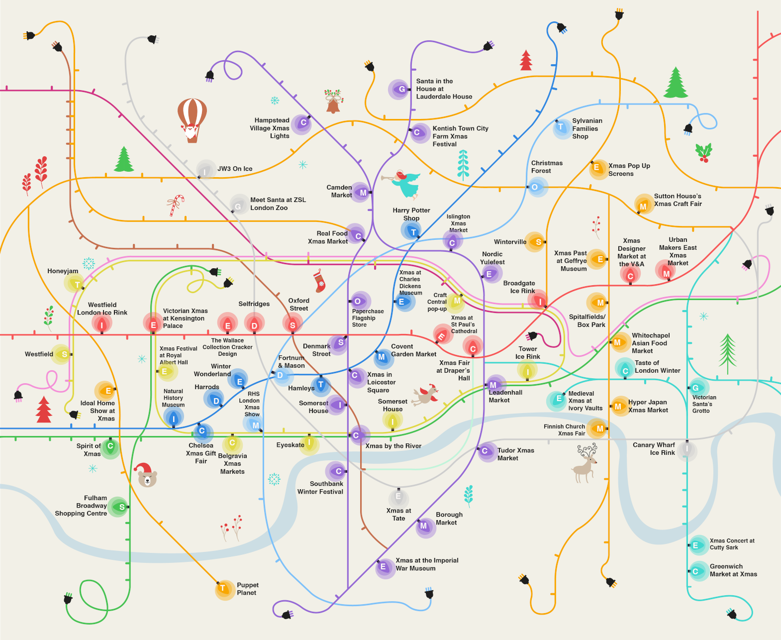
Here’s a rather nice map combining the famously colourful and diagrammatic tube map with Christmas tree lights, to create an infographic, “The London Christmas Map”,
More...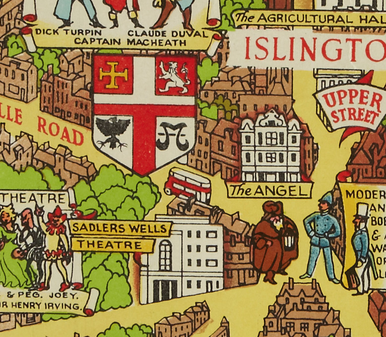
We featured Lee’s Bastion of Liberty map, a detailed portrait of London to remind the war-weary 1940s/50s public of the great city that they lived
More...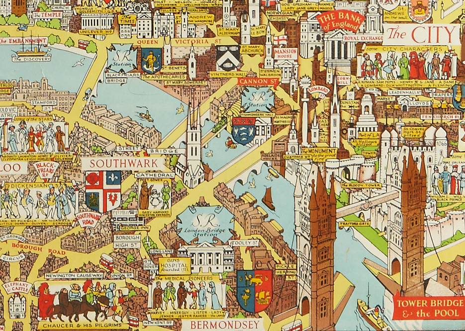
This decorative map was published in or around 1946, as a commemorative keepsake for a weary city and a population that had just been through
More...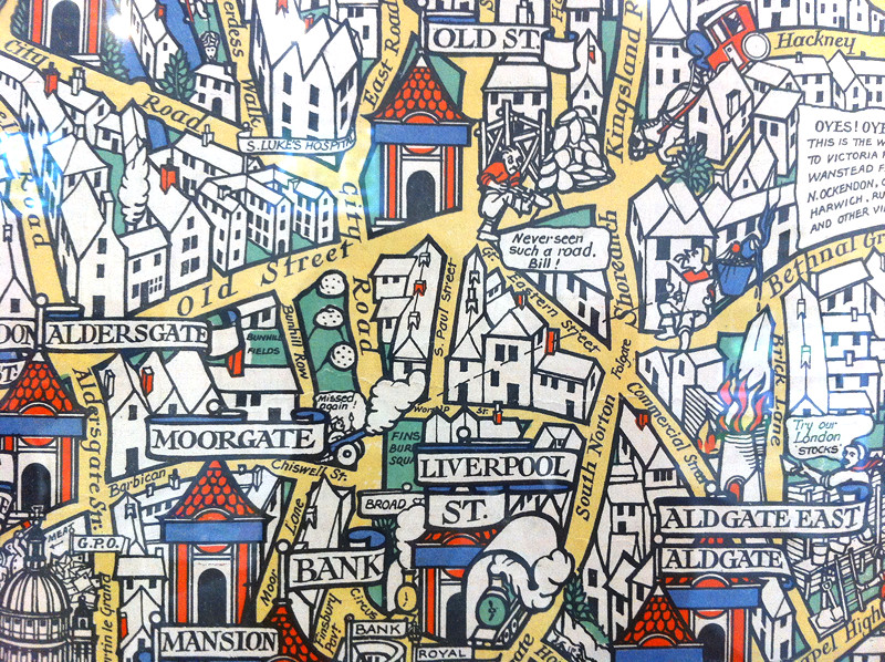
Above is a small part of the “Wonderground Map of London Town” – MacDonald Gill created this fantastic decorative map, which was commissioned to provide
More...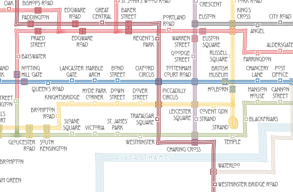
Above is an extract from a map of the London Underground, drawn by Max Roberts in the style of Charles Rennie Mackintosh – with sets
More...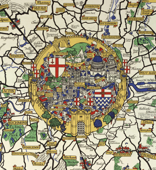
This is an extract of a map produced in 1928 for London Transport by Macdonald Gill. He produced many maps in this “flowery” style, including
More...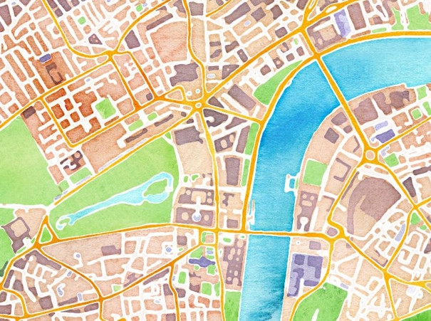
Stamen Design are a bespoke design and technology company based in San Francisco. They have a reputation for creating wonderful looking maps, often with OpenStreetMap
More...