Transport for London have published a London Digital Speed Limit Map (no longer online), showing speed limits for cars on a map of London’s public
More...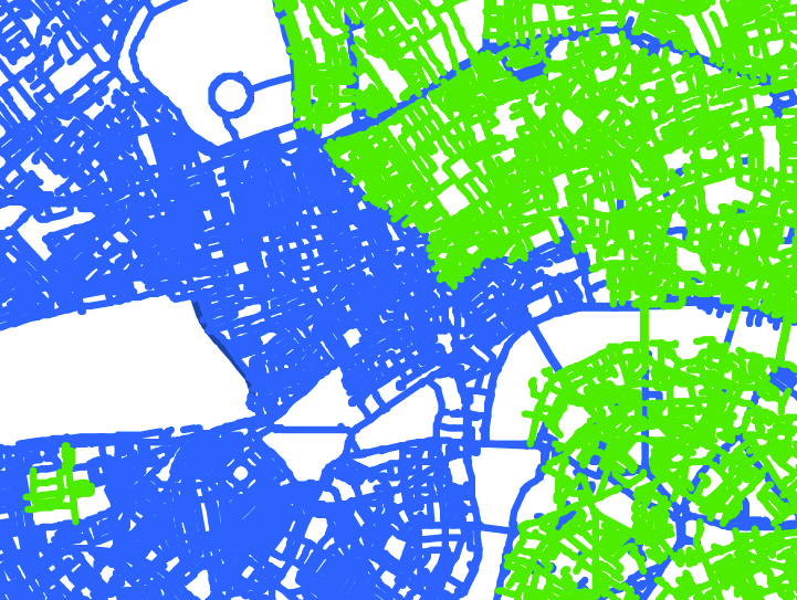
Highlighting the best London maps
Transport for London have published a London Digital Speed Limit Map (no longer online), showing speed limits for cars on a map of London’s public
More...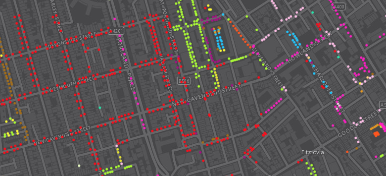
Following a data release of Southwark’s publically maintained trees a couple of years back, the Greater London Authority recently published a map which shows street
More...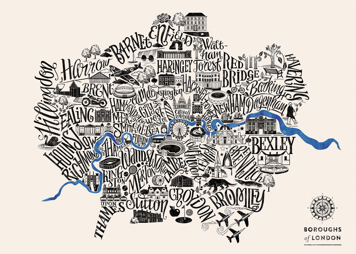
Typographical maps (maps made up of words representing each area, which form the map themselves) are a favourite of Mapping London and we featured a
More...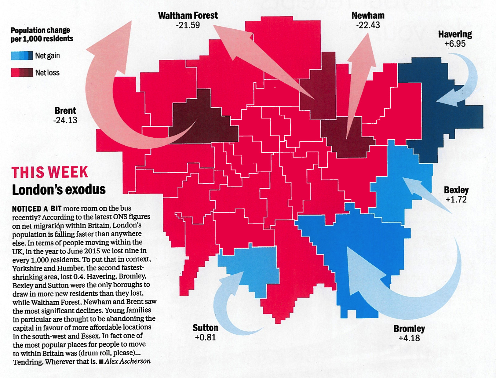
Time Out London, the venerable London free magazine, have spotted that everyone in London loves maps, and so have launched a regular London Mapped feature
More...