Mapping London has long enjoyed Stephen Walter’s fabulously detailed, painstakingly created pencil-sketch maps of London, and now one of his most famous works, The Island,
More...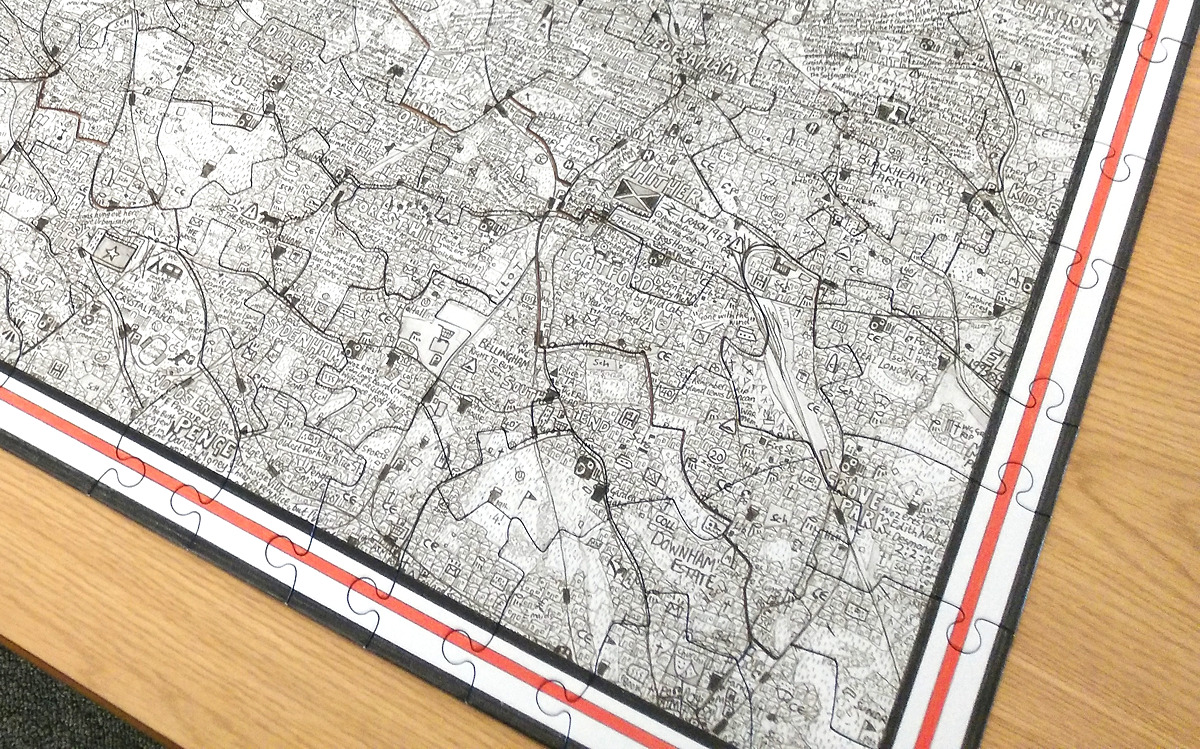
Highlighting the best London maps

Mapping London has long enjoyed Stephen Walter’s fabulously detailed, painstakingly created pencil-sketch maps of London, and now one of his most famous works, The Island,
More...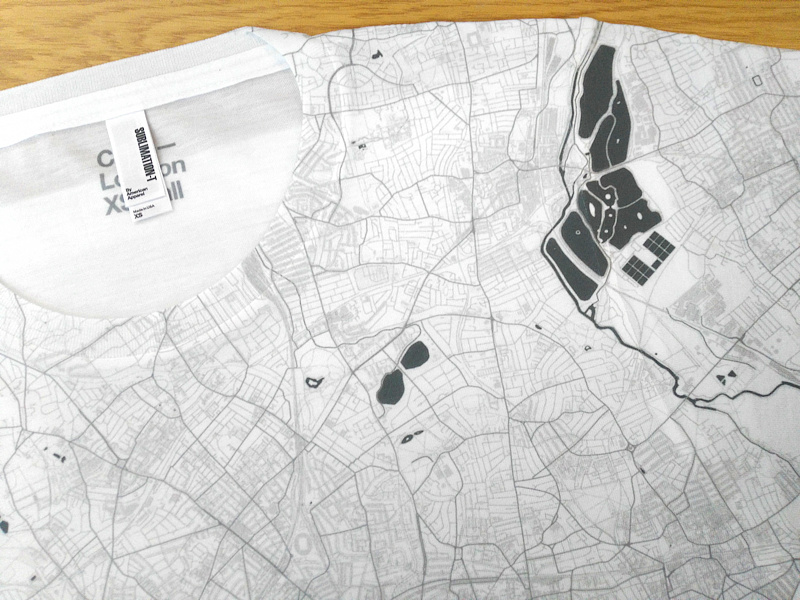
Citee has been producing technical T-shirts featuring maps of various cities around the world, including London, for the last year. They are currently crowdfunding for
More...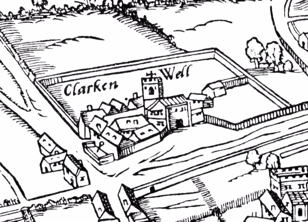
We normally feature “modern” maps on Mapping London, however this map despite being also known as the Map of Early Modern London, is certainly not
More...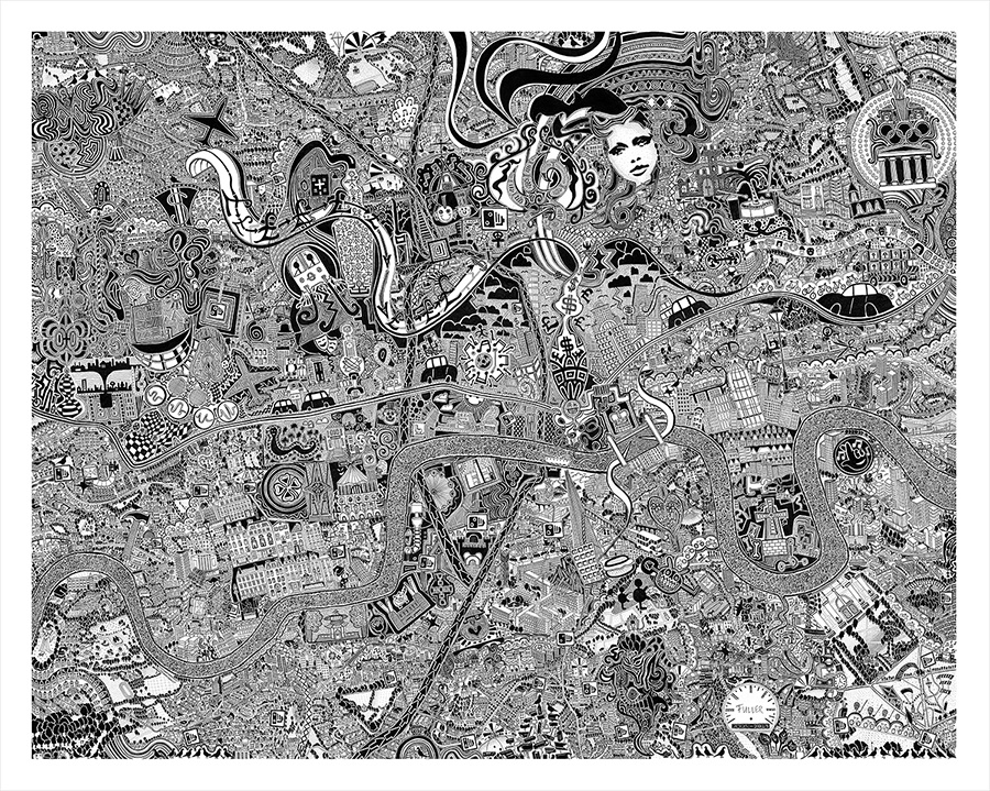
Artist Gareth J Wood, aka Fuller, unveiled this striking black-and-white map-based artwork over London, yesterday. The work was started way back in 2005, and after
More...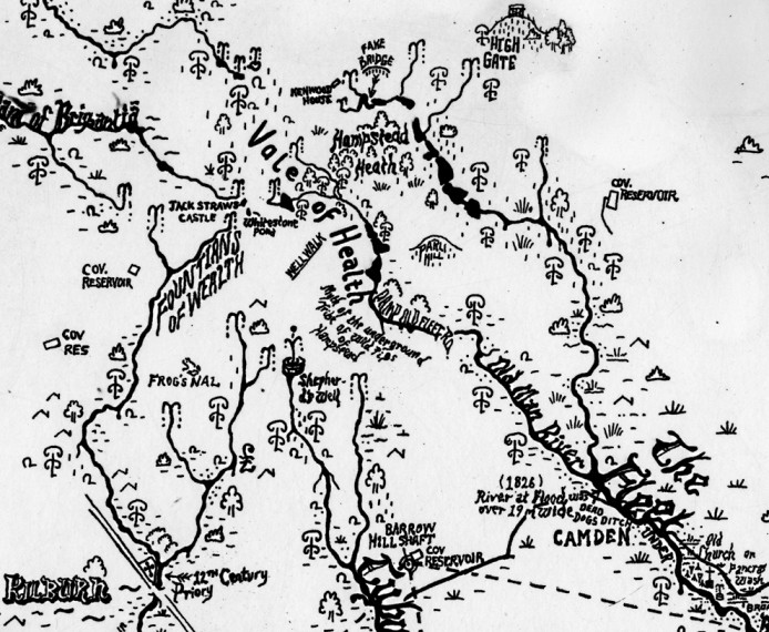
This is a new work by Stephen Walter, in his characteristic hand-annotated, monochromatic style. It features London’s watery features, in particular the many waterways. The
More...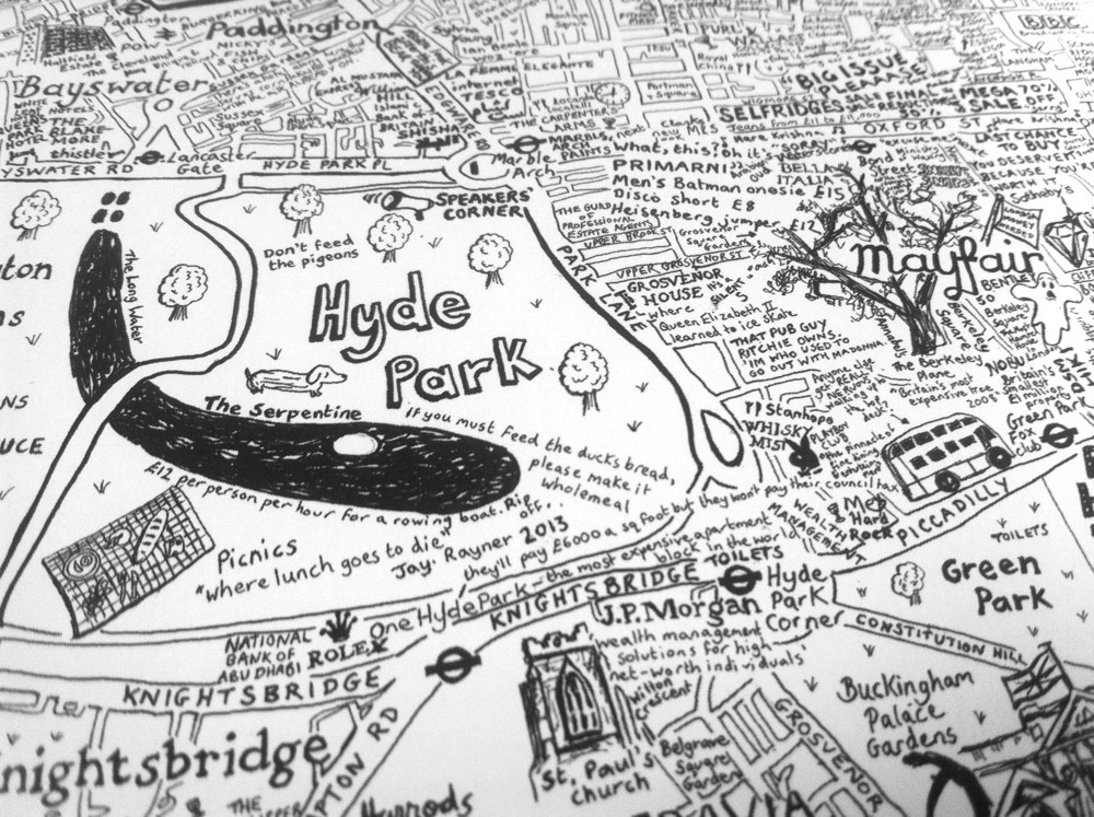
City of Westminster is the first in a series of hand-made maps of London Boroughs that Lovely Jojo has drawn. The black-and-white, text-heavy style, full
More...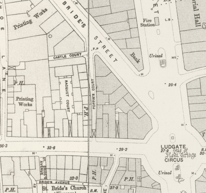
Here’s a real treat. The National Library of Scotland’s Map Department, supported by David Rumsey, have taken some very high-resolution scans of the Ordnance Survey
More...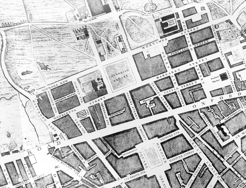
Mapping London has always been most interested in modern maps of London, however we are happy to make the occasional exception, and so when this
More...