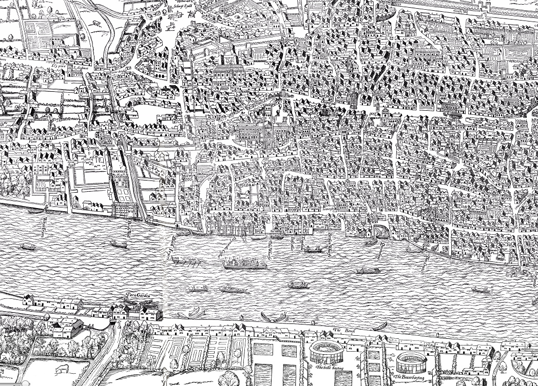
We normally feature “modern” maps on Mapping London, however this map despite being also known as the Map of Early Modern London, is certainly not new. It was first printed from wood blocks in 1561, the extracts here are from a 1633 edition which has been digitised at a very high resolution as part of the “MoEML” (Map of Early Modern London) project at the University of Victoria in Canada. It is commonly known as the Woodcut Map or the Agas Map, after Ralph Agas, a local surveyor of the time, who had created a similar map of Oxford, but it is now believed he was not involved. Its formal title is “Civitas Londinum”.
The MoEML project has also carefully catalogued the building and other London objects that appear on the map – these appear as categories on the map key and can be highlighted on the map from there. For example, a number of the City of London’s many Victualling Houses (aka pubs) can be toggled on and off.
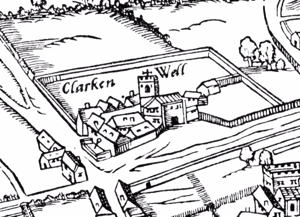
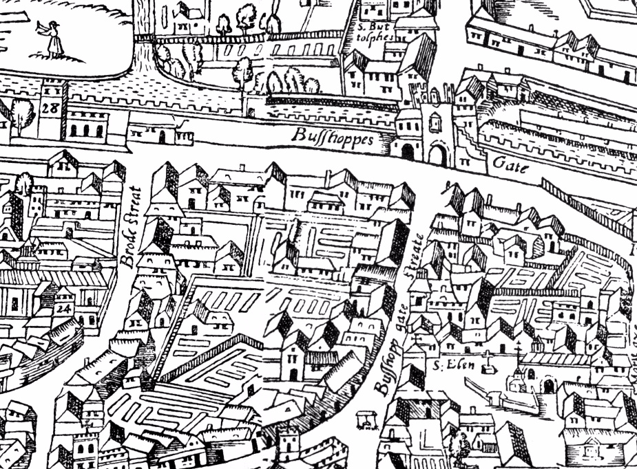
Above is Bishopsgate, now home to Liverpool Street Station and the eastern part of the City of London or “Square Mile” (which essentially *was* London back in 1633, along with Westminster, a village beside the Thames.) Below is a larger extract from the full map, and at bottom is what is now Clerkenwell, just north of the City.
View the full, high resolution map here.
Thanks to Kim McLean-Fiander, of the project, for letting me know about it. Reference: Jenstad J. (n.d.). The Agas Map. In J. Jenstad (Ed.), The Map of Early Modern London. Retrieved June 07, 2017, from http://mapoflondon.uvic.ca/map.htm

The Woodcut Map: Civitas Londinum — https://t.co/TnNy3ZdP8E
RT @MapLondon: The Woodcut Map (aka Agas Map) of London, from c.1633: https://t.co/LyHxkjJHmf – a very high res scan is online thanks to th…
The Woodcut Map | Mapping London at https://t.co/HR753VgO8X
RT @MapLondon: The Woodcut Map (aka Agas Map) of London, from c.1633: https://t.co/LyHxkjJHmf – a very high res scan is online thanks to th…
The Woodcut Map of London https://t.co/x79mZv4vbD