Mike Hall, illustrator and designer, has been painstakingly creating large poster maps of each of the London boroughs, largely by hand. Each map has a
More...
Highlighting the best London maps
Mike Hall, illustrator and designer, has been painstakingly creating large poster maps of each of the London boroughs, largely by hand. Each map has a
More...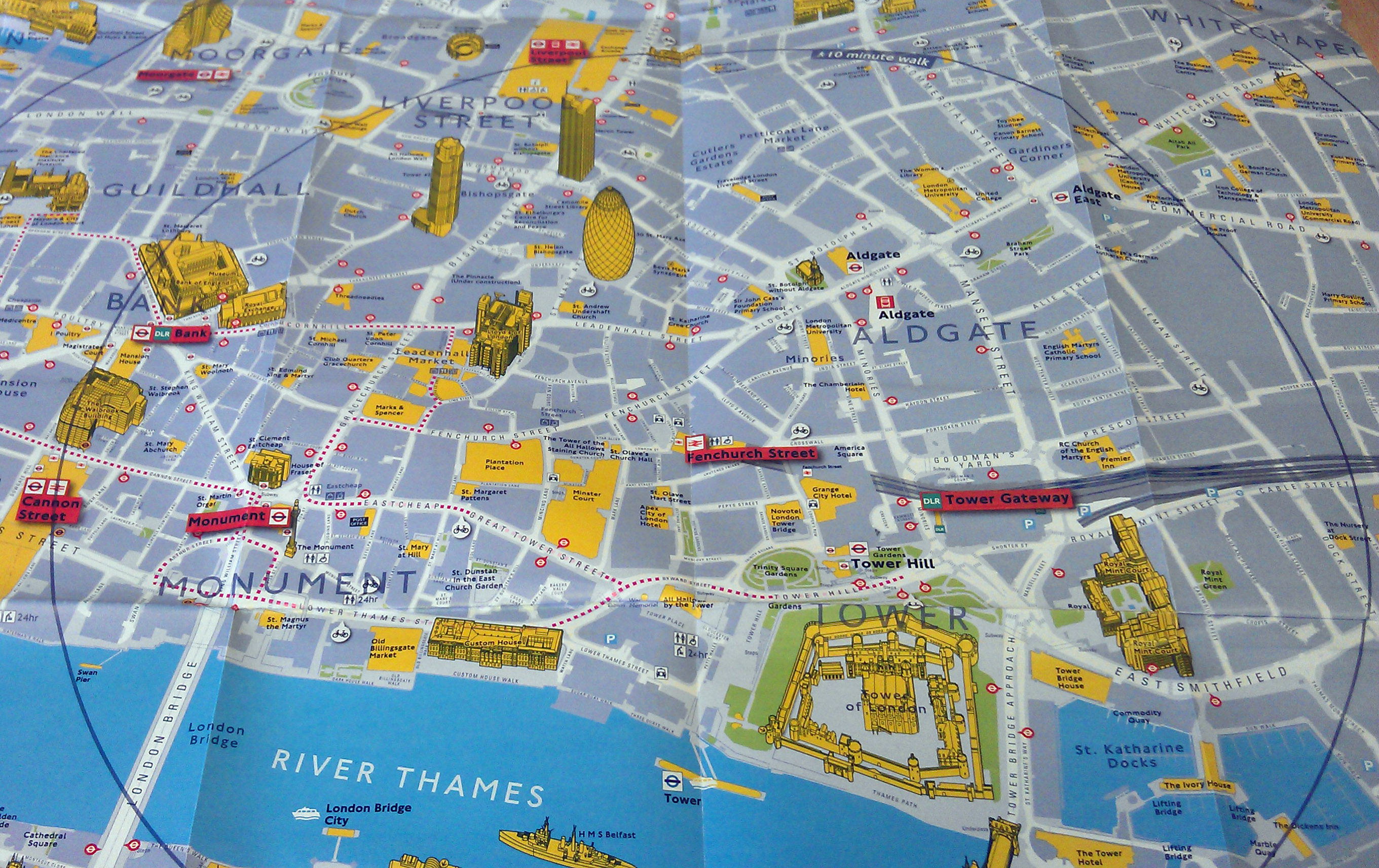
TfL have produced a nice range of maps to promote walking instead of public transport (especially during the Olympics). The maps use different cartography to
More...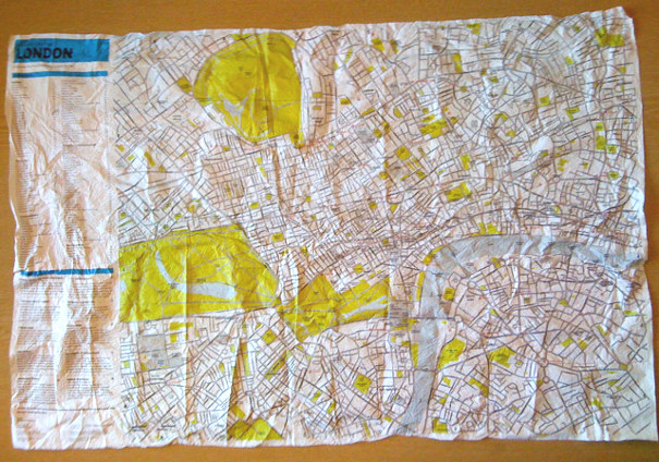
This is the Crumpled City Map of London. Part of a series, including New York, Paris and Rome, and produced by an Italian company, the
More...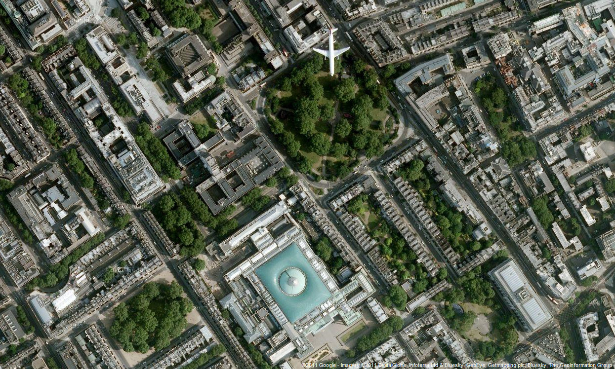
Google has updated the aerial photography available in Google Maps, for London. The new imagery appears to be from late summer 2010, showing the current
More...