Various central London locations are this week, as part of London Car Free Day (which is today!), stocking free copies of a paper map (you
More...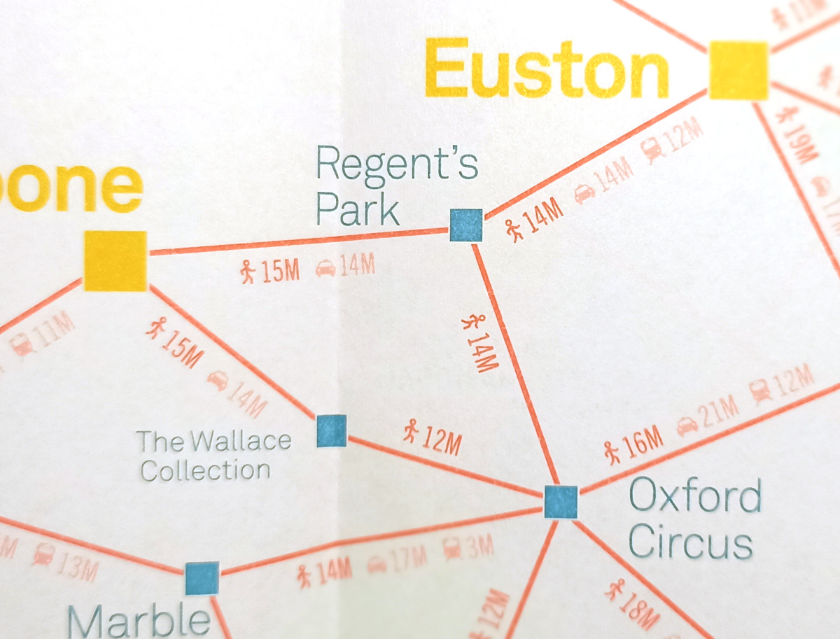
Highlighting the best London maps
Various central London locations are this week, as part of London Car Free Day (which is today!), stocking free copies of a paper map (you
More...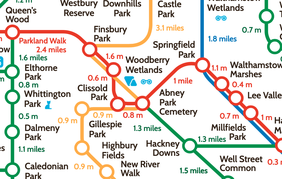
The London Greenground Map, by designer Helen Ilus (Hi Design), takes its inspiration from the famous tube map to create a network of walking routes,
More...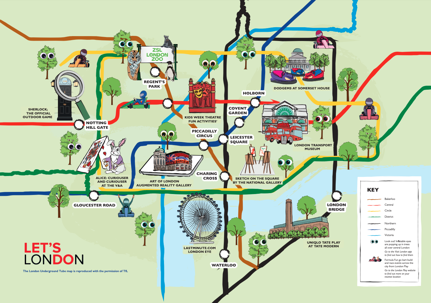
After nearly a year and a half when much of London has been staying away from its central business district, there’s a big push to
More...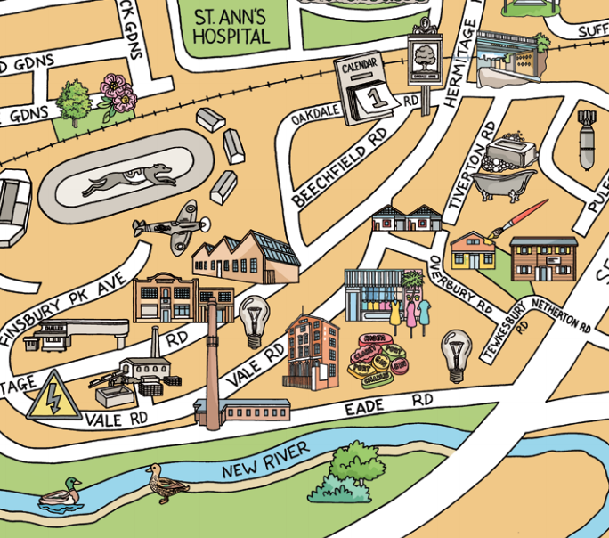
We’ve all had plenty of to explore our local areas, over the last year, with several lockdowns and other movement restrictions meaning that our local
More...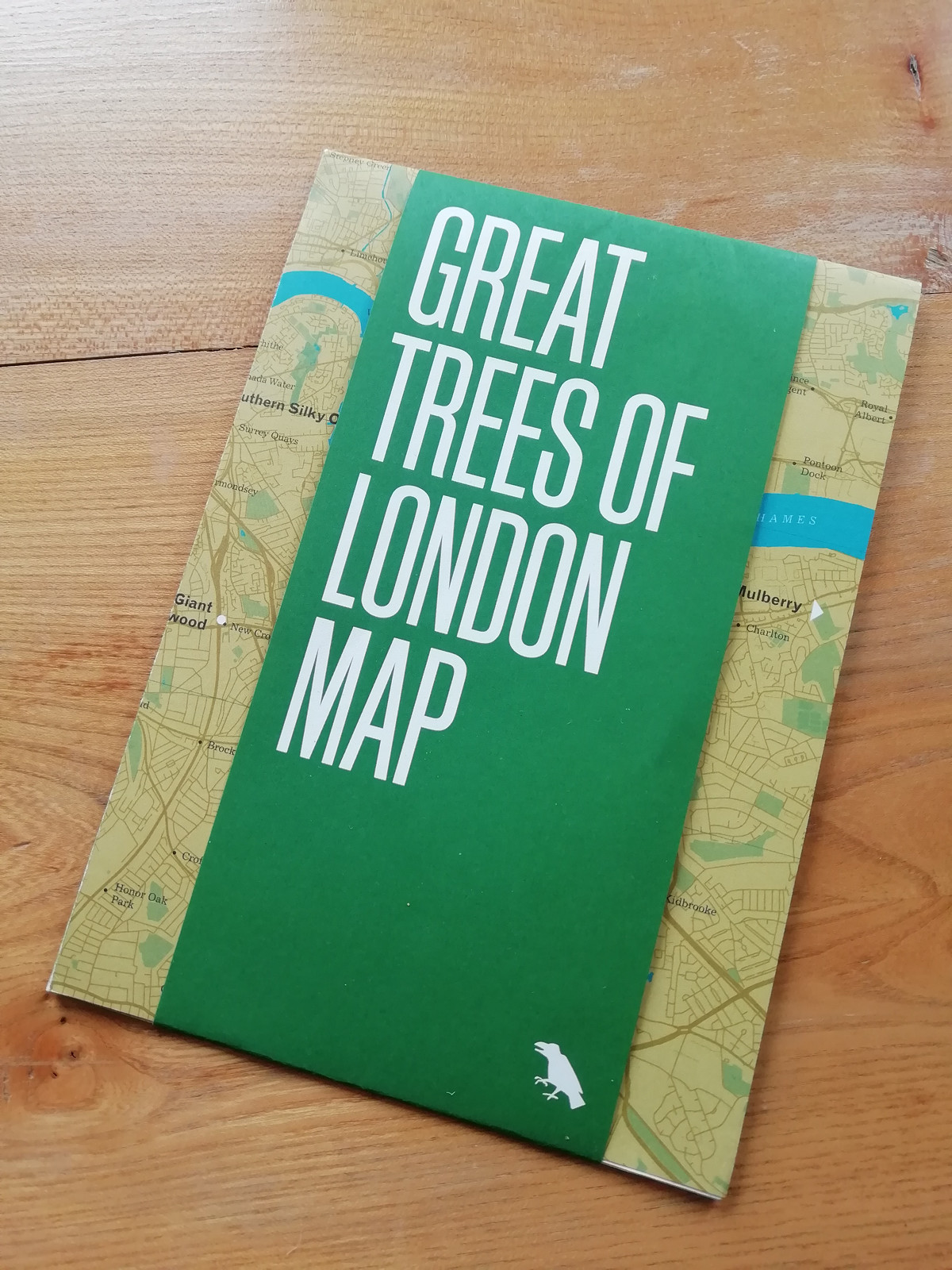
Blue Crow Media, long-time makers of bespoke themed maps of London and other places, have switched from their regular architecture focus and produced a lovely
More...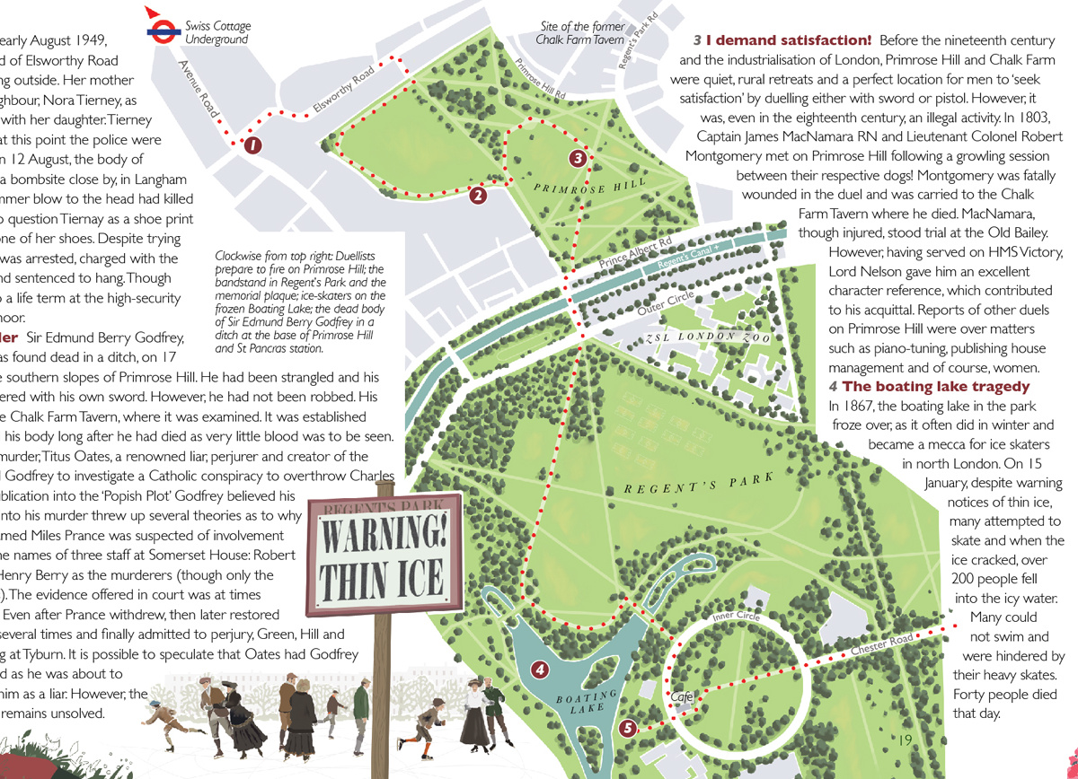
“Bloody London” is a new book by author, illustrator cartographer David Fathers. Previously writing about the Thames Path in London, the Regents’ Canal and London’s
More...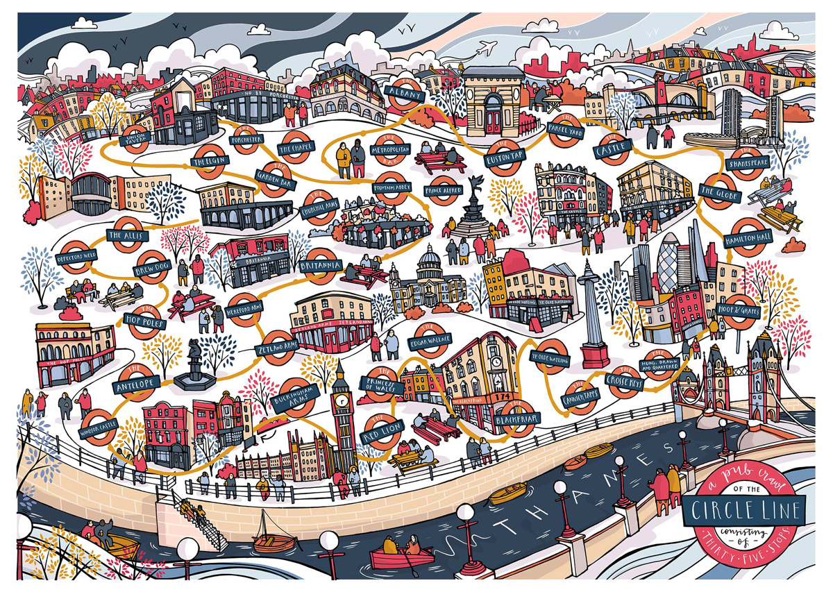
One of London’s hardest challenge, the Circle Line Pub Crawl, got even harder a few years ago when Transport for London reconfigured the line to
More...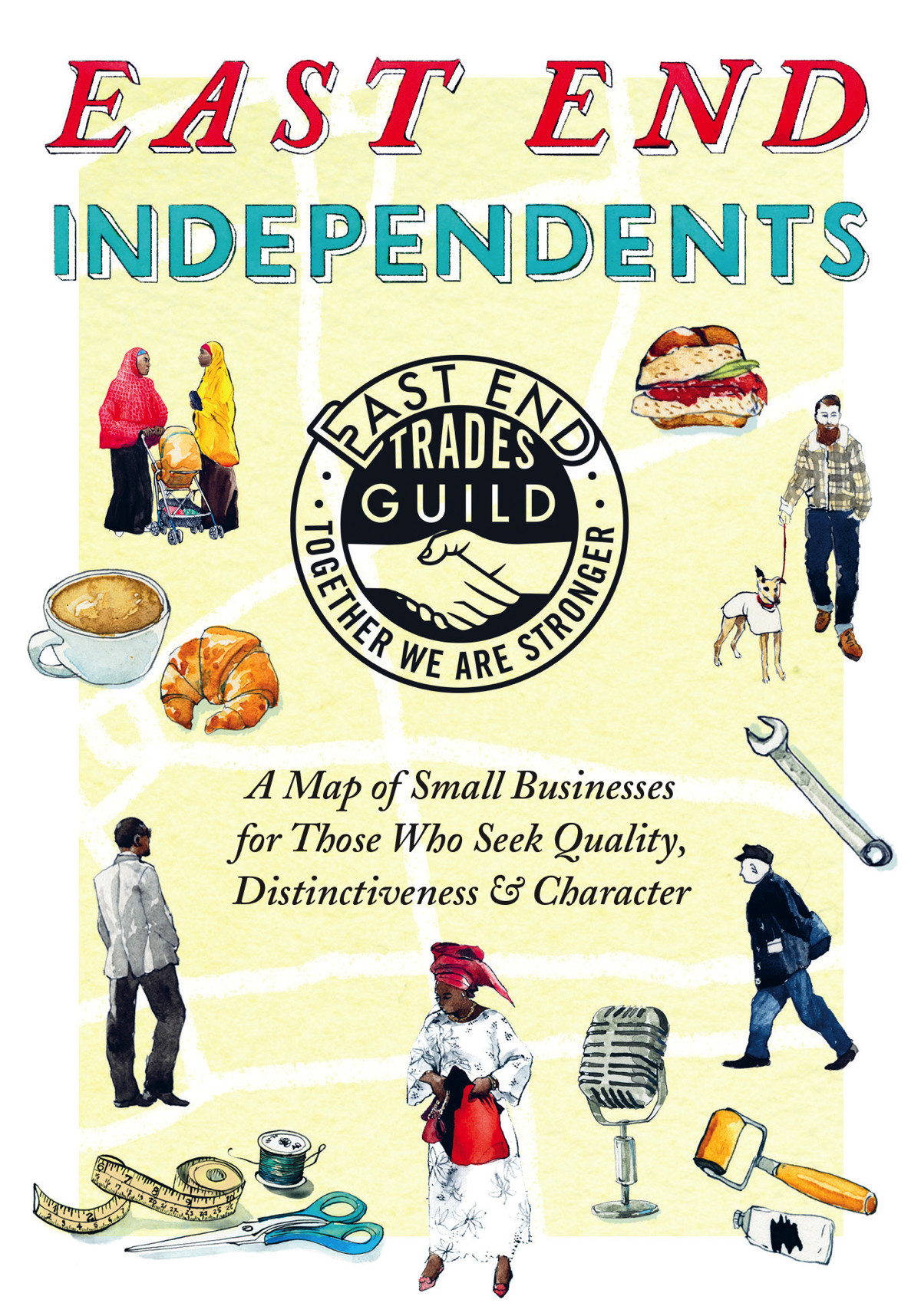
Following the original 2017 edition and a 2018 update, The East End Trades Guild have launched a new version of their specially created map of
More...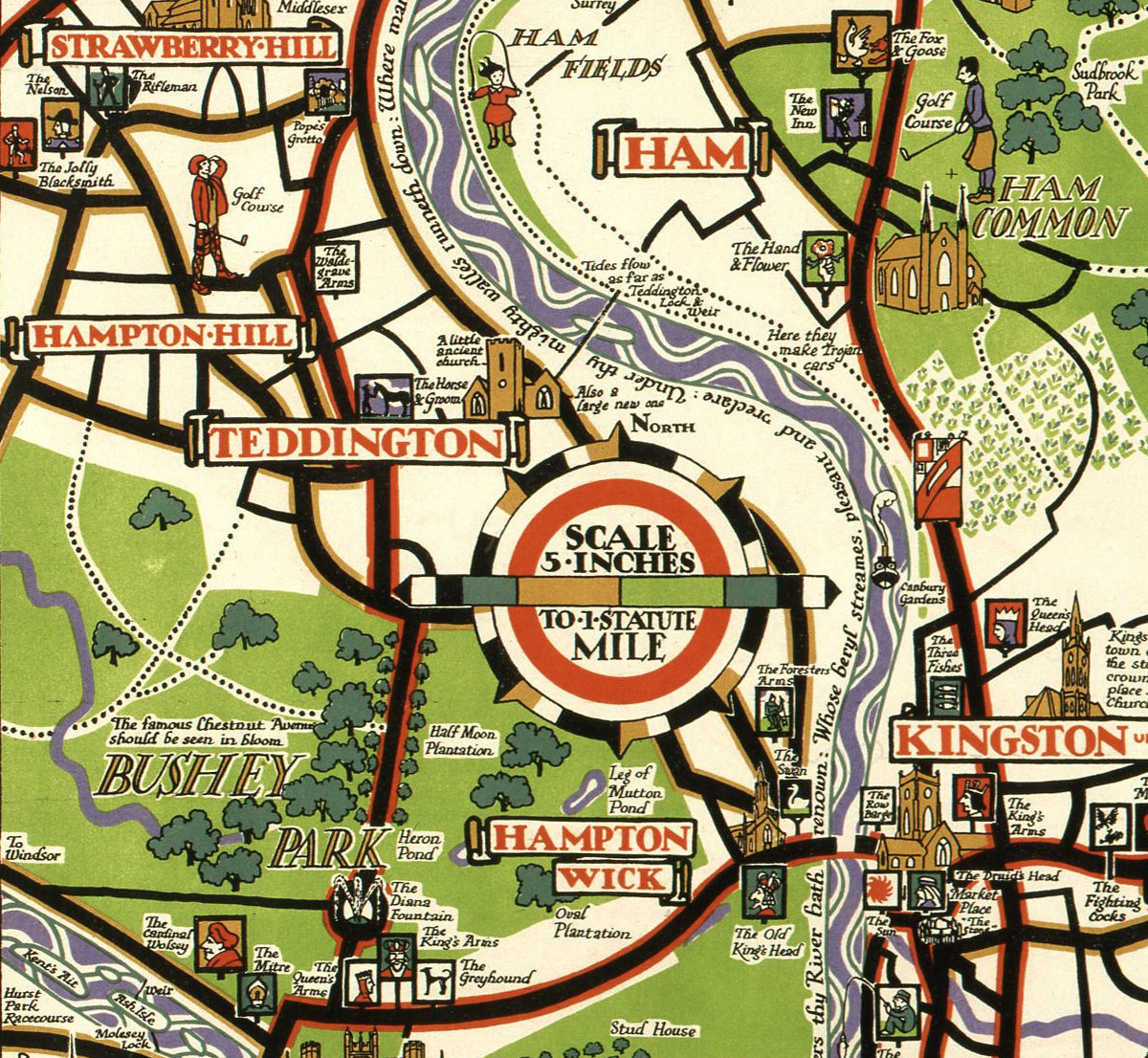
This decorative map, simply called “Kew”, was produced by Herry Perry of Vincent Brooks lithographers in 1929. It was part of a series of posters
More...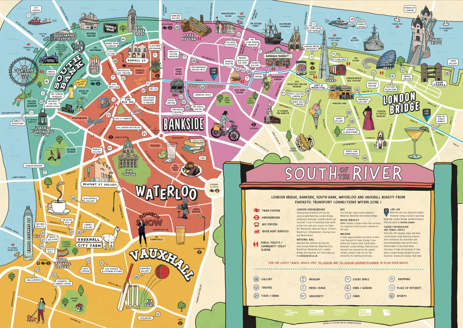
We featured a map showing London’s North Bank earlier in the summer – just in time for the peak holiday season, the rivals across the
More...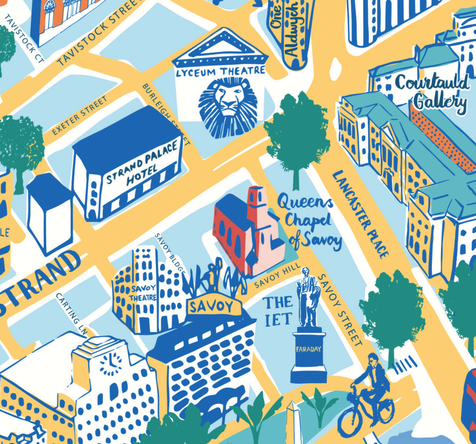
You know about London’s South Bank – the other side of the river has been looking on at envy at the pedestrian utopia over there
More...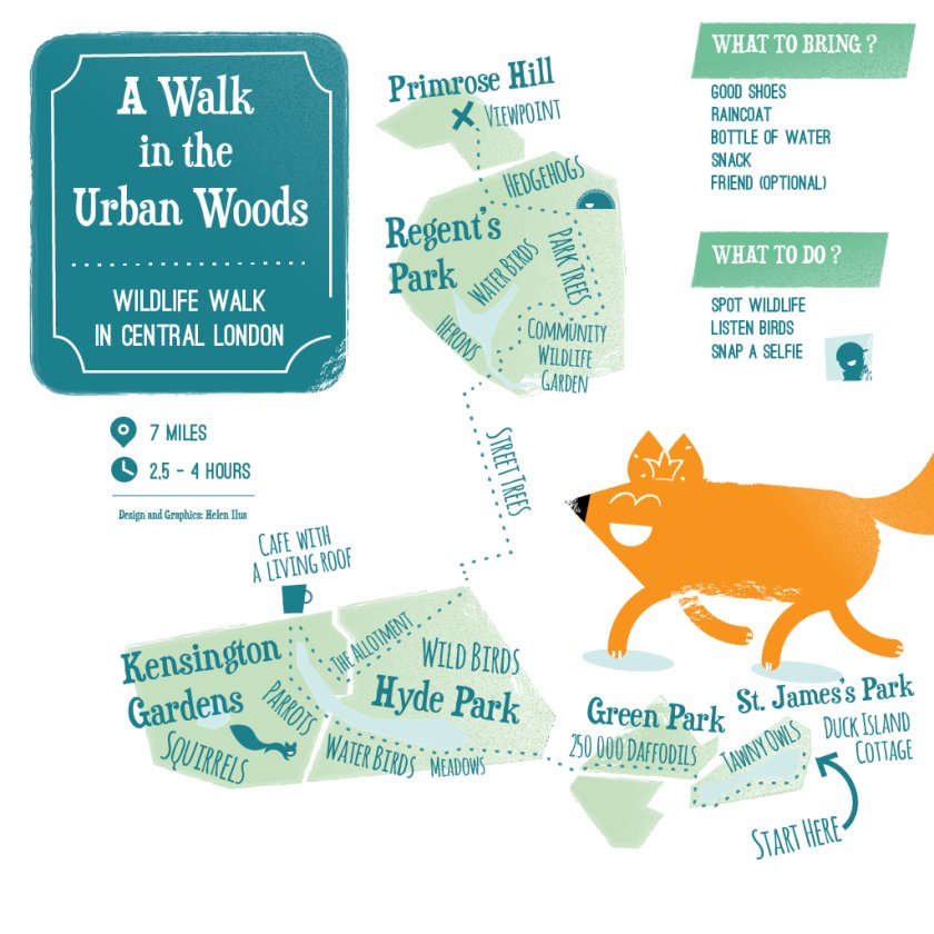
This artistic map of a green walking route in central London has been created by graphic designer Helen Ilus. By showing just the parks that
More...