This is one of the many data visualisation and design postcards that Stefanie Posavec and Georgia Lupi sent each other of the course of a
More...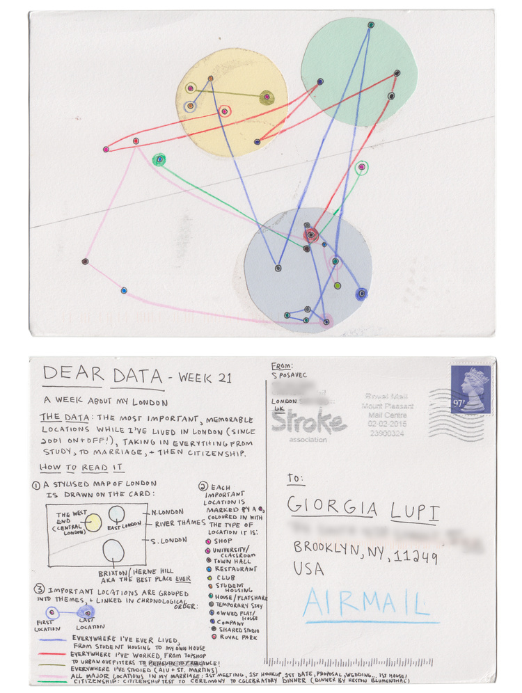
Highlighting the best London maps
This is one of the many data visualisation and design postcards that Stefanie Posavec and Georgia Lupi sent each other of the course of a
More...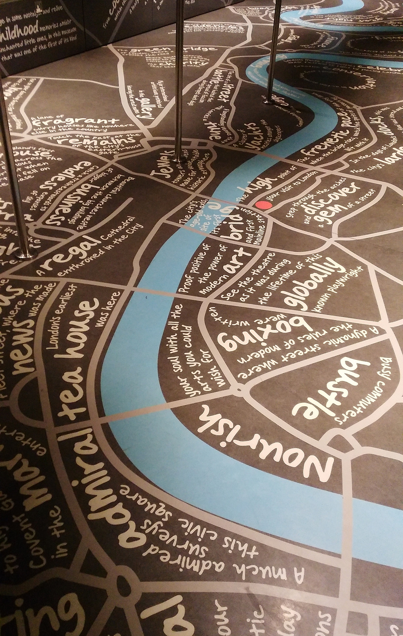
The Shard, London’s tallest building, has a viewing platform at the top, the The View from the Shard. To access the platform, you use two
More...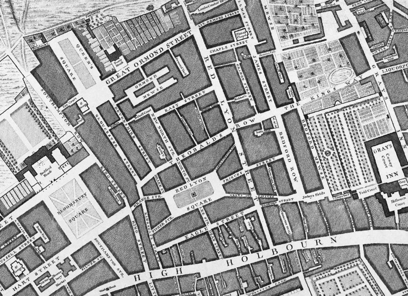
As an update to our previous feature on a replica map set of the John Rocque eighteenth century map of London, we feature the Locating
More...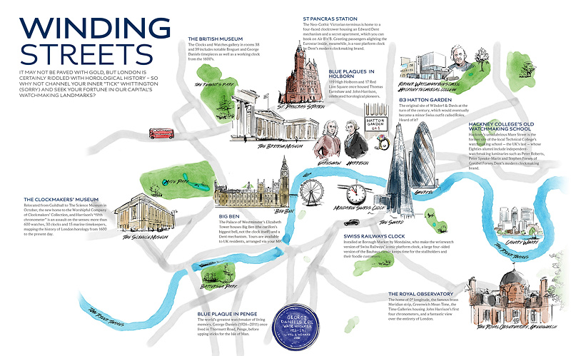
Here’s an attractive map commissioned by The Watch Gallery to highlight some of the key places in London, in the development of timekeeping. From the
More...
The latest pocket guide and fold-out map from boutique urban cartographers Herb Lester is “Punk London“, celebrating 40 years since the punk movement of the
More...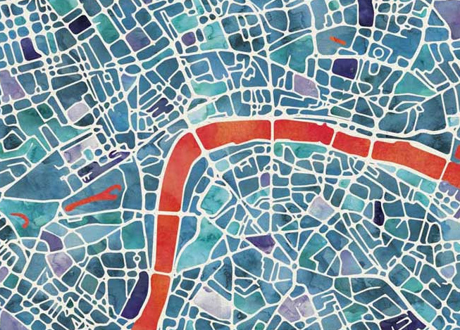
Here’s a lovely looking artistic map of London. Created by Ben Grib in a “watercolour” style and produced as a print on “natural” textured art
More...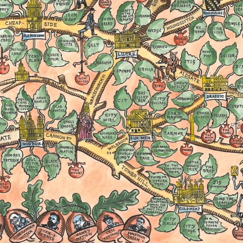
Argotopolis is a map of London slang, created by Adam Dant (cartographer) and Jonathon Green (lexicographer). At first glance it looks like an ornate tree,
More...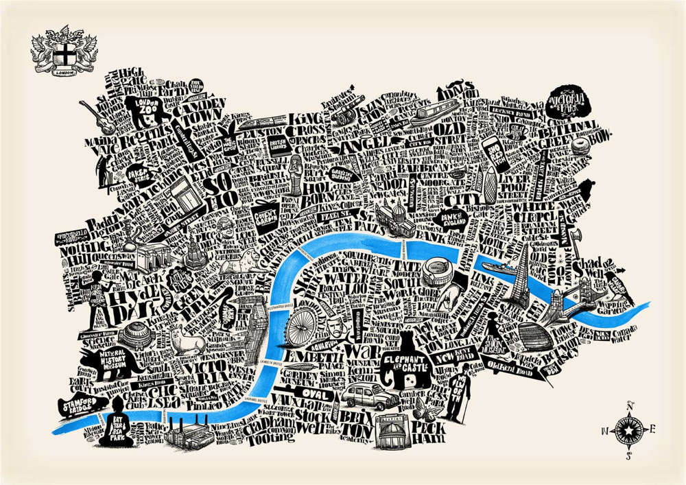
The Typographical Map of London, created by artist Joao Fonte, shows central London as a collection of symbols and words, arranged in a topologically representative
More...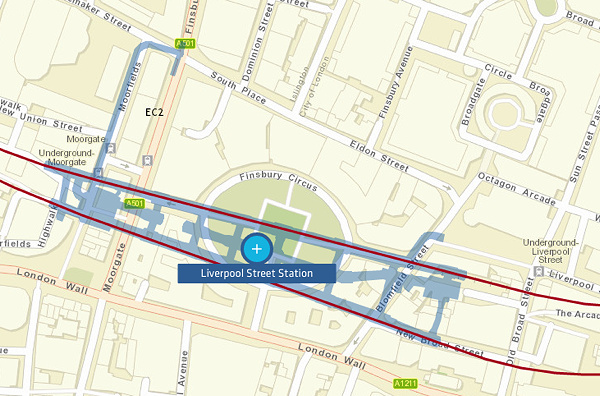
Crossrail is a massive new railway that is due to open towards the end of the decade. It’s underground in central London, so largely unseen
More...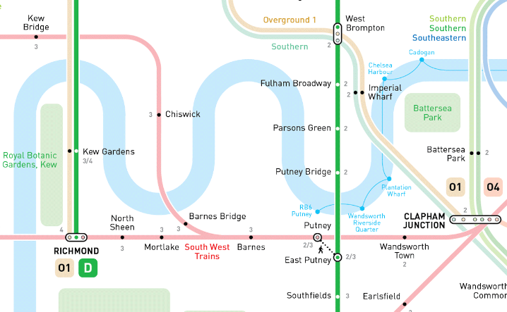
So London’s myriad of suburban commuter rail services, many of which are south of the River Thames and so act as the equivalent of the
More...
Lumiere London is a festival of light and art taking place every evening until this Sunday. From 6:30-10pm, nearly 30 temporary artworks in central London
More...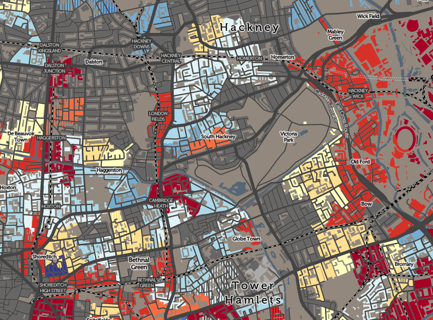
The Valuation Office Agency publish some interesting open data sets from time-to-time. One that caught my eye recently was a breakdown of counts of residential
More...