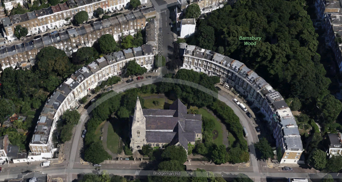
Google yesterday released their 3D map for much of inner city London – roughly, most of Zones 1-2 and parts of Zone 3, now visible in Google Earth and on Google Maps (when you zoom right in.) They’ve had individual prominent buildings for a while, and much of the centre of London was also blanket-covered in 3D maps, but now a much larger area is covered. There have been other 3D maps of London before – from Bing and Apple – but Google has taken time to produce a very impressive map where even individual trees look like – well, trees in 3D.
Here’s the newly extended King’s Cross station building in all its glory. The Google UK headquarters will, in a few years, be just to the left. What I particuarly like about this 3D representation is that the delicately curved building has been modelled well – at a glance, it looks like the model itself is using proper curves.
Here’s the pseudo-gothic Cruciform building, part of University College London. Check out all those turrets.
Finally, here’s the Regent’s Park Mosque.
To access the view in Google Maps, click the “Earth” button on the bottom left, then click the tilt button below the compass on the right, to access the 3D view.
CASA colleague Robin Edwards has blogged the update in more detail.
Imagery Copyright 2014 Google.

It is very use full
when will the remaining london zones get the 3D treatment ?