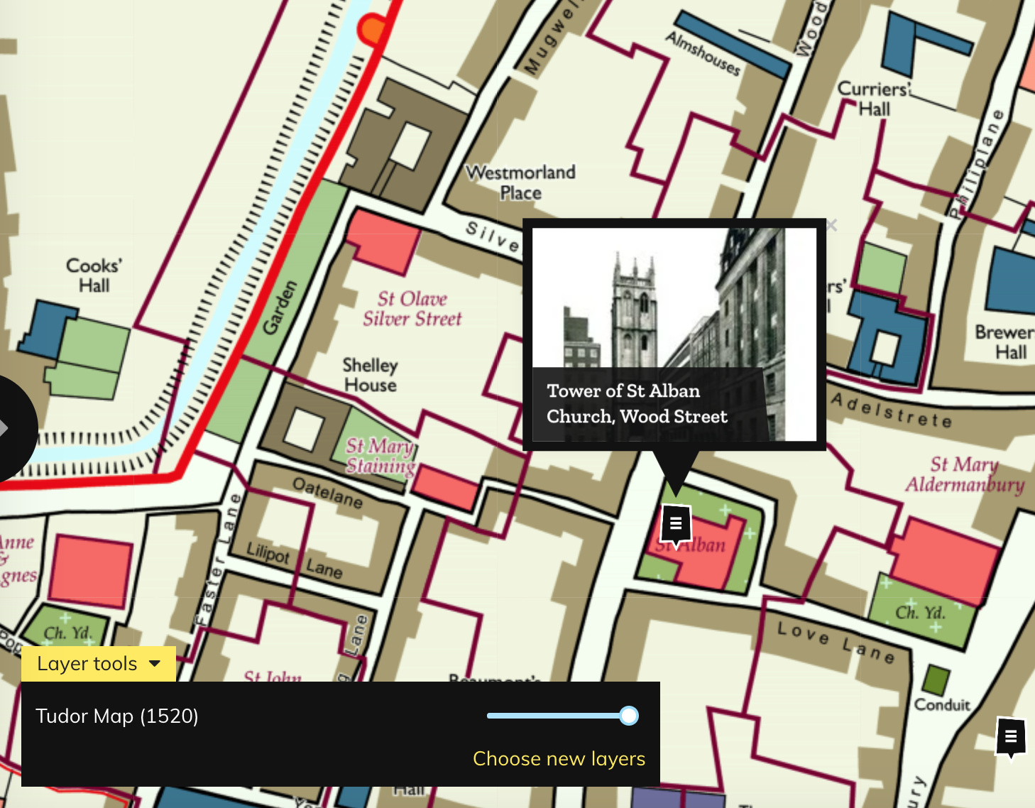

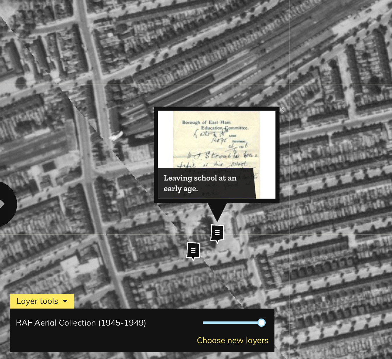
Layers of London, which has just launched, aims to be a platform for geolocating and documenting the local history of the capital. It works by allowing historical facts, comments and memories to be attached to pins on a map. The pins are grouped together as projects, or collections. The map itself can be adjusted, from a standard basemap, to various historical maps of London, including the high-resolution Victorian Ordnance Survey maps of the capital that were scanned by the National Library of Scotland. An ongoing project is also stitching together and orthorectifying (georeferencing) aerial photographs taken by the RAF after the Second World War. This effort, being carried out by school pupils in a number of London schools, is gradually working across London from the east.
It’s a great idea, and the project, financed by the National Lottery Heritage Fund and a number of other match funders, has a big team on board to manage the project’s utilisation and evolution. The focus so far has been on building out a modern platform and it has only just started acquiring content, so the map is a little sparse in places. We hope that it is able to link up with a number of other projects that georeference old maps and images of London and allow user-generated historical content – such as Wikimapia, the LSE’s Booth Poverty map and accompanying historical notebooks, Mapping for Change, the Historic London and OpenPlaques, as well as various local museums and local history archives, run by borough councils and others. Indeed, with many boroughs struggling to fund their local history museums, this might be a good alternative outlet for their often rich content.
The project already has some key organisations on board, including the British Library, the London Metropolitan Archive, Historic England, the National Archives and the Museum of London’s Archeology Group – so if these organisations commit their full London collections to the project (the scale and effort of integrating this should not be underestimated) then a platform which fully details London in both time and space will emerge. We look forward to future developments.
Layers of London — https://t.co/48yq9BP73E
Layers of London: https://t.co/NUfhpGlQIM https://t.co/FlhWOsLVRE