Layers of London, which has just launched, aims to be a platform for geolocating and documenting the local history of the capital. It works by
More...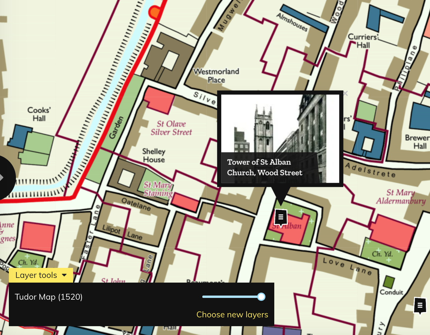
Highlighting the best London maps
Layers of London, which has just launched, aims to be a platform for geolocating and documenting the local history of the capital. It works by
More...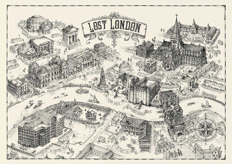
London has a great collection of grand buildings, famous bridges and other urban objects that delight tourists and residents alike, but there’s quite a few
More...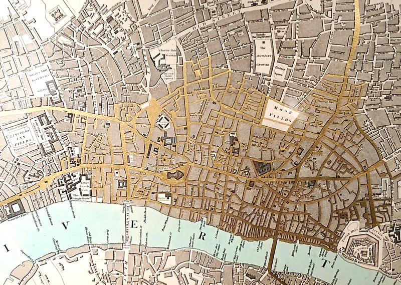
Currency and Cartography is an solo exhibition by artist Justine Smith, available to view in the gallery space at The Map House in Knightsbridge, a
More...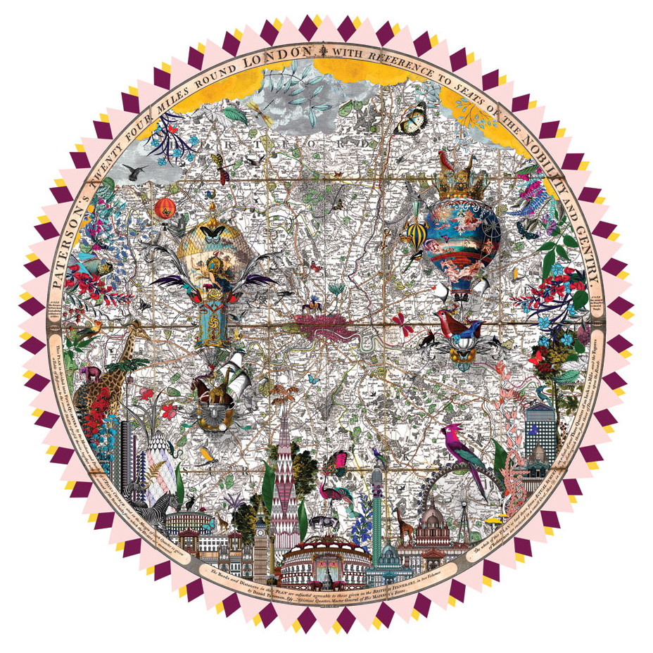
Artist Kristjana S Williams, originally from Iceland but now based in west London, specialises in collages of vividly coloured, exotic creatures. A number of her
More...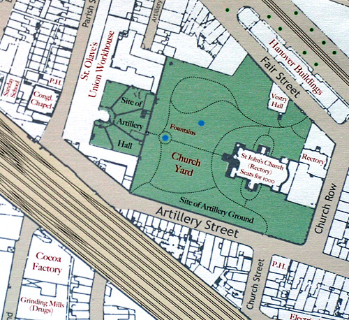
Mapping London editors James and Ollie were invited earlier this year to create a drawing for the 10×10 charity auction taking place later this week
More...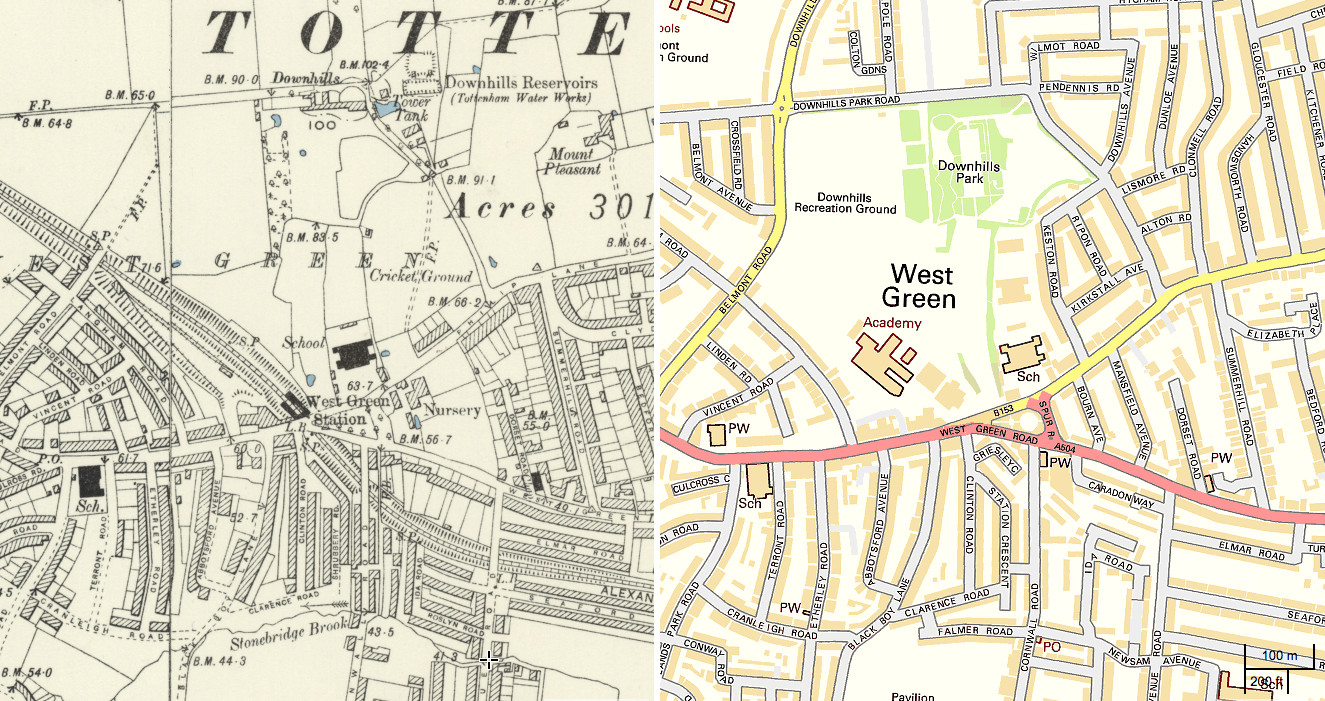
The National Library of Scotland’s (NLS) Map Department has recently completed a huge georeferencing exercise, taking a set of Six-Inch-To-Mile (1:10560) maps for the whole
More...
Here’s a real treat. The National Library of Scotland’s Map Department, supported by David Rumsey, have taken some very high-resolution scans of the Ordnance Survey
More...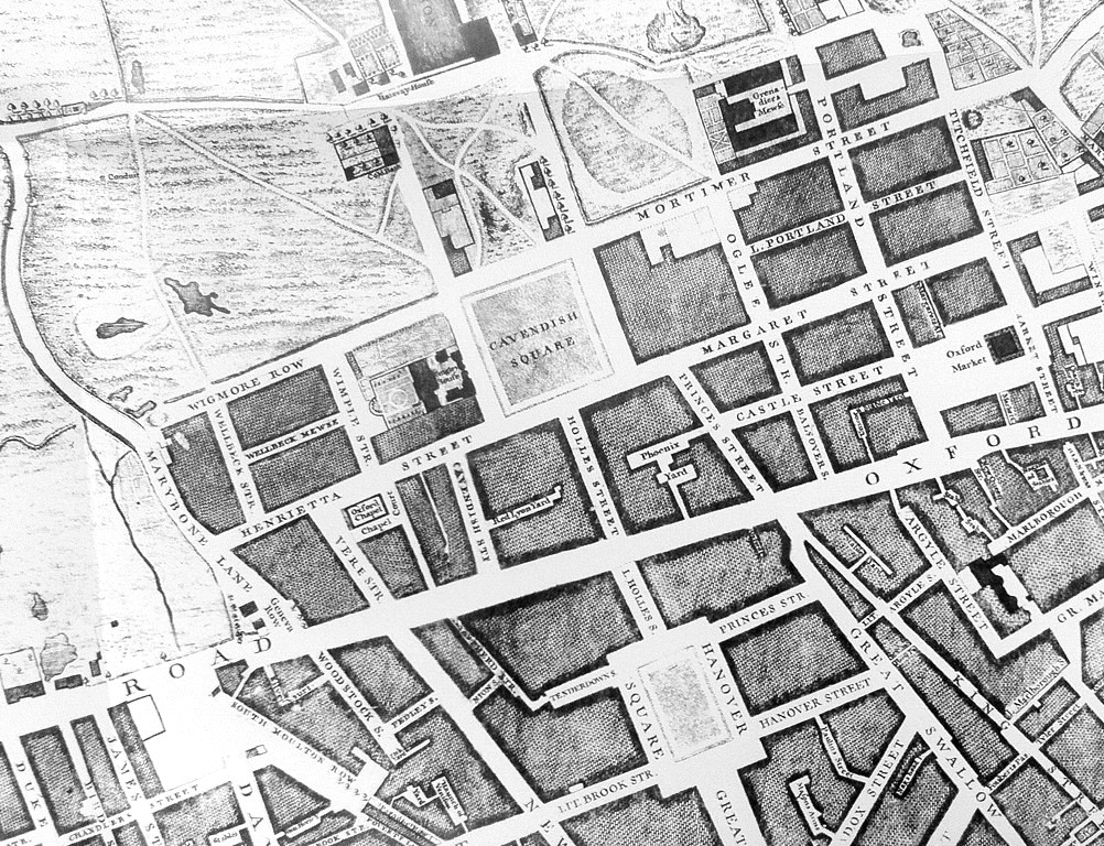
Mapping London has always been most interested in modern maps of London, however we are happy to make the occasional exception, and so when this
More...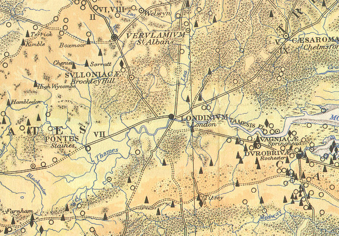
Here is part of a map, The Map of Roman Britain, Second Edition, published by the Ordnance Survey in 1931 and scanned by Bibliographics. The
More...