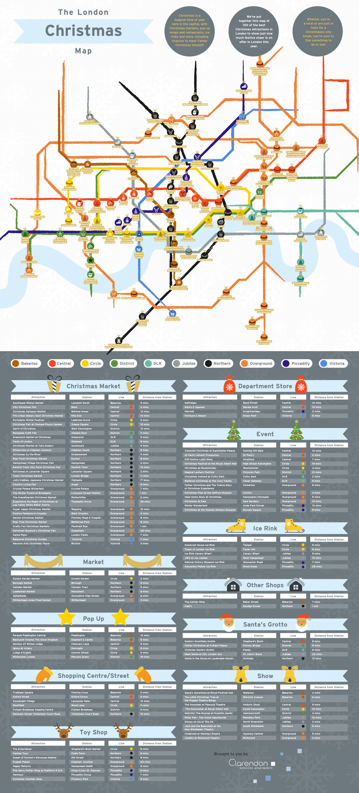
It’s December! So Christmas is not far away, and so here’s a nice map which takes that always popular London map – the tube map – focuses on the inner city section, coverts the lines to coloured tissue paper, and hangs baubles on many of the stations, detailing a nearby Christmas-related attraction, be it a Christmas market, and ice rink, panto or other seasonal event. There’s 100 altogether. It’s more useful for ideas than navigation, although it will at least get you to the nearest tube station. Watch out – a couple of stations are on the wrong side of the River Thames though! To its credit, the London Overground gets a look in (all the interesting new stuff in London is happening near the Orange Line isn’t it?)
The poor tube map gets reused for all sorts of different kinds of things (including a similar 2016 Christmas map) but the colours and lines are such an important identity for how London works, that it’s a natural way to present geographic information like this. And while an official Christmas-edition tube map would be amazing, this is certainly the next best thing.
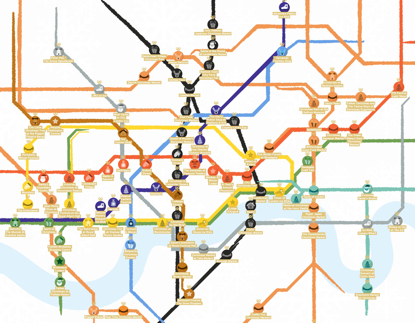
Here’s the full version, with captions and station/distance information in the section below, click for a larger image (if your browser then resizes the full image back down, click it once more):

The map was commissioned by Clarendon and created by Digitaloft.
Nice unofficial Christmas tube map. Thanks for sharing, Alastair Majury