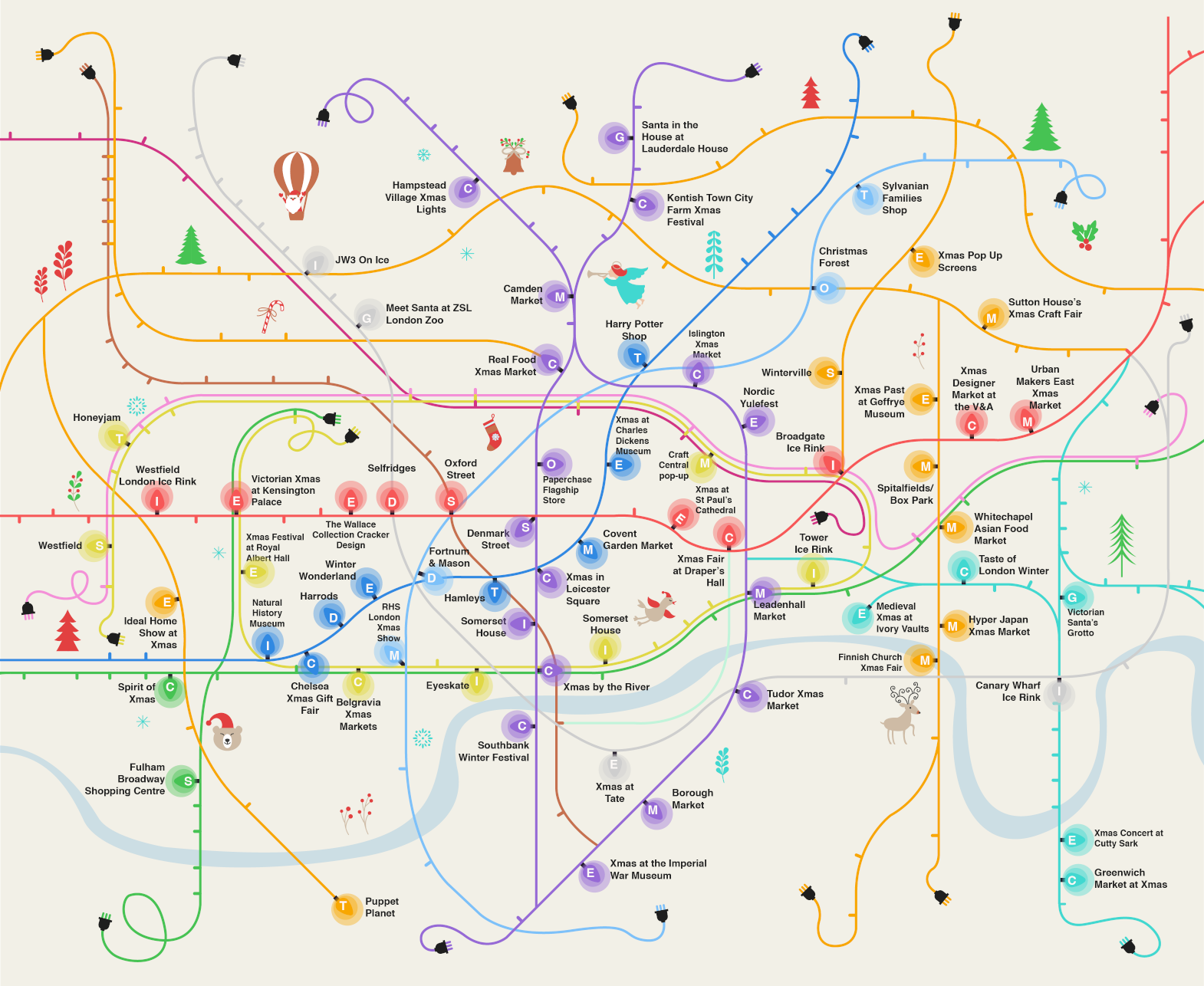

Here’s a rather nice map combining the famously colourful and diagrammatic tube map with Christmas tree lights, to create an infographic, “The London Christmas Map”, showing the Christmassy events happening in London. You can see a full version of the map, including a key and listings for each event and how far it is from the nearest tube station, here on the Marbles website (the map was commissioned by them). Ironically the map doesn’t include the locations of the best London Christmas lights – for those, visit Regent Street, Oxford Street and Carnaby Street. I’m sure Old Bond Street’s are also impressive!
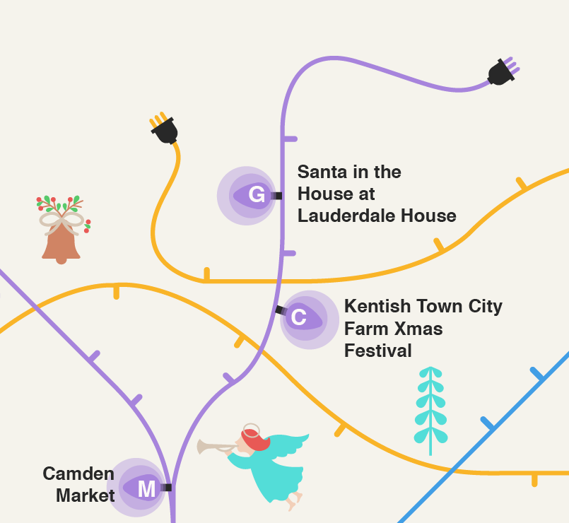
This is a really nice, clear artistic map which brings me into mind some of the decorative tube maps produced by Max Roberts, particularly his Art Nouveau one. I like particularly the ends of the lines, where the cables unravel to reveal the “plug” at the end of the line. There is also a good balance of lines and adornments, the latter giving the map a suitably Christmassy flavour.
Spotted on Reddit. The author is unknown.
Christmas Map https://t.co/zFrFoOcHuh | #GIS #mapping
New post on CASA blog: Christmas Map https://t.co/EW2EGXPAy7
This is very sweet, if you are going to play with the Tube Map, then creative design work will lift it up a level… https://t.co/dNAby6jIYg
RT @MapLondon: Map of Christmas events taking place in London, in the guise of a tube map of Christmas tree lights! https://t.co/tGLNsotDeK…
RT @geoviews: London Christmas Map https://t.co/cGNECiftrH https://t.co/u3PnruPKlq
RT @kennethfield: Happy Christmas me! This is the 300th #becksploitation map in my database. Tube Map of Tube Maps update coming soon https…
RT @geoviews: London Christmas Map https://t.co/cGNECiftrH https://t.co/u3PnruPKlq
RT @geoviews: London Christmas Map https://t.co/cGNECiftrH https://t.co/u3PnruPKlq
RT @geoviews: London Christmas Map https://t.co/cGNECiftrH https://t.co/u3PnruPKlq
RT @MapLondon: Map of Christmas events taking place in London, in the guise of a tube map of Christmas tree lights! https://t.co/tGLNsotDeK…
RT @geoviews: London Christmas Map https://t.co/cGNECiftrH https://t.co/u3PnruPKlq