The London Railway Atlas is probably the most detailed map of London’s myriad of tube, train and tram lines, past and present, that you are
More...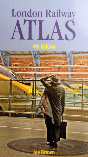
Highlighting the best London maps

The London Railway Atlas is probably the most detailed map of London’s myriad of tube, train and tram lines, past and present, that you are
More...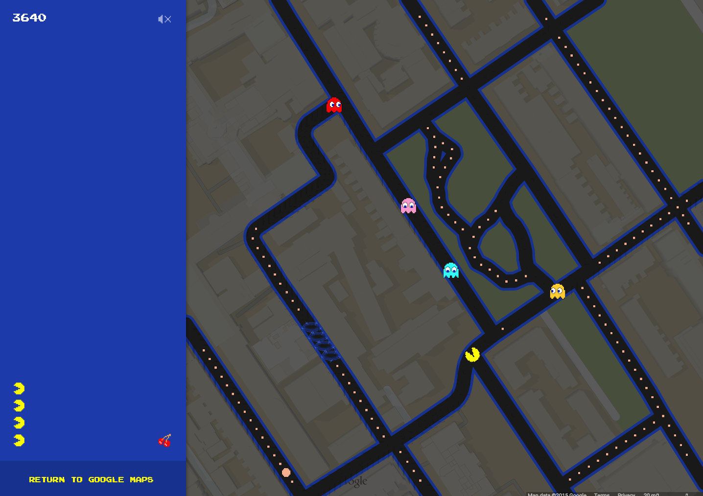
So, we thought yesterday’s post on Google Maps for Mobile was the last time we’d be mentioning Google Maps for a little while, but then
More...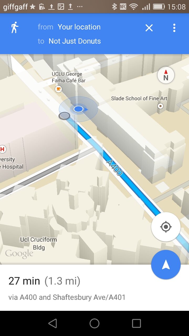
We’ve mentioned Google’s excellent aerial imagery and 3D building mapping for London before, but we’ve not featured the Google Maps app itself, mainly due to
More...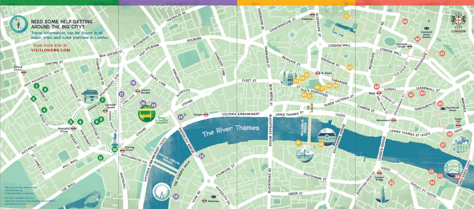
A fan of Shaun the Sheep? Well, you are going to be seeing plenty of him in the capital over the next couple of months.
More...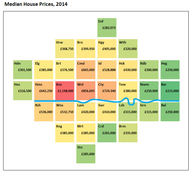
This is a simple but effective borough-by-borough cartogram of the median house price in London. The map appears on the London data store but is
More...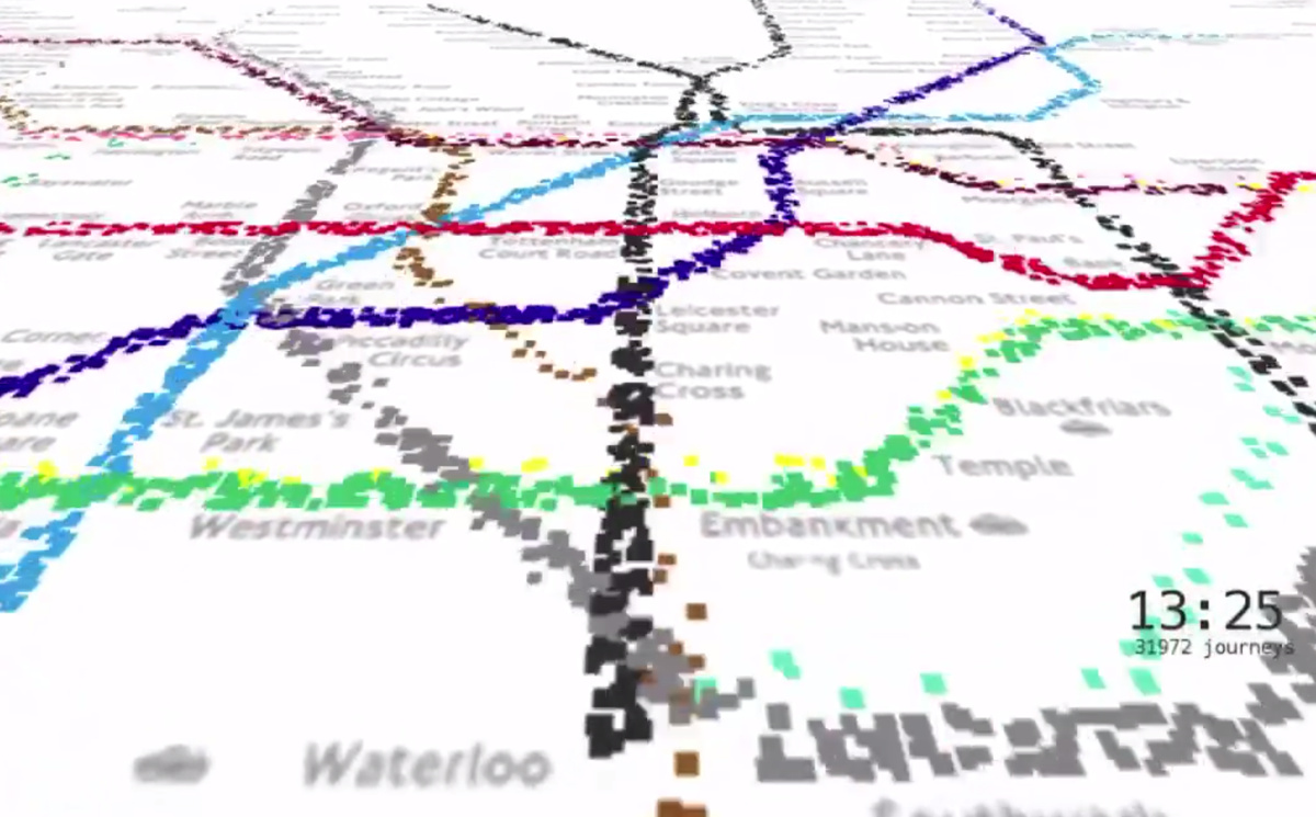
This animation from Will Gallia shows over 500,000 individual journeys on the London Underground network, it’s a 5% sample of Oyster-card journeys during a week
More...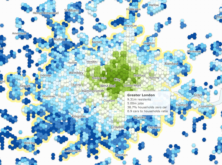
Luminocity3D, an “urban density and dynamics explorer”, is a interactive mapping website developed by UCL CASA’s Duncan Smith, which shows a number of urban demographics
More...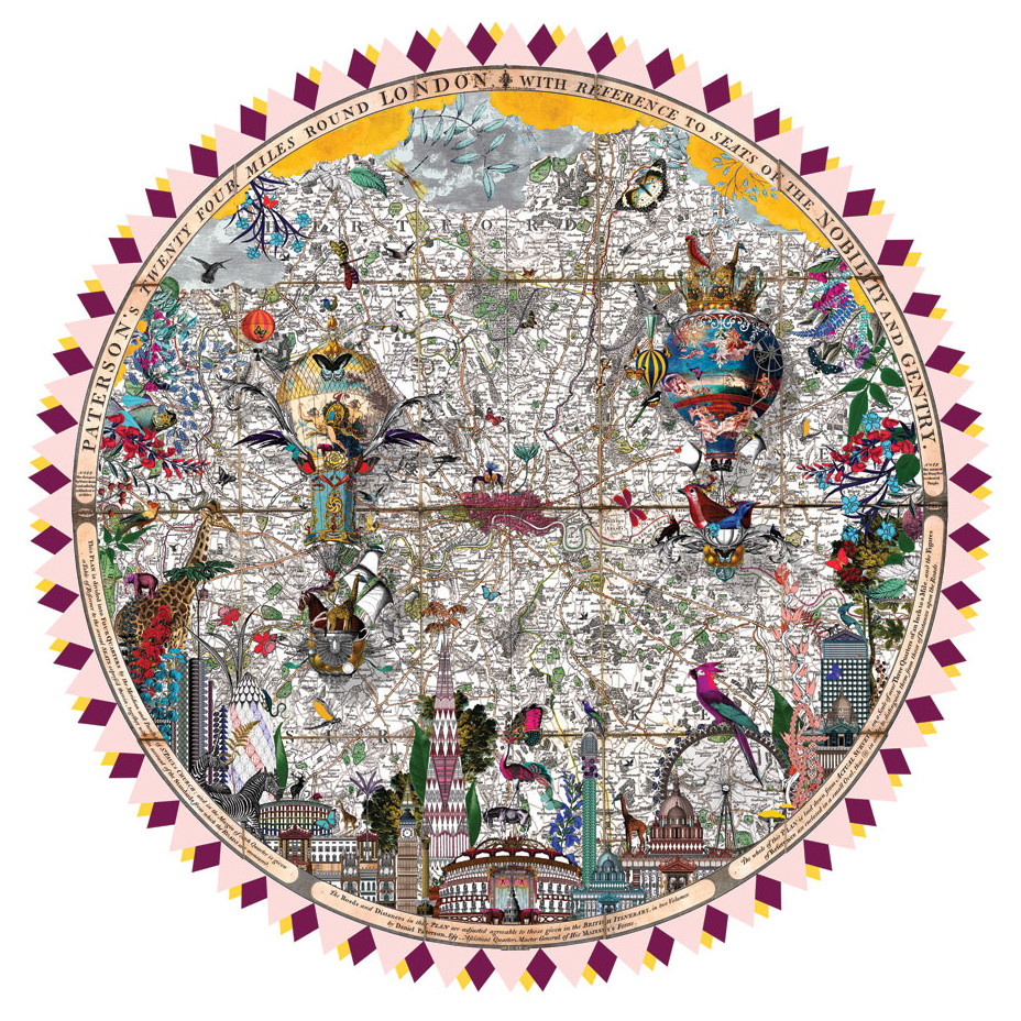
Artist Kristjana S Williams, originally from Iceland but now based in west London, specialises in collages of vividly coloured, exotic creatures. A number of her
More...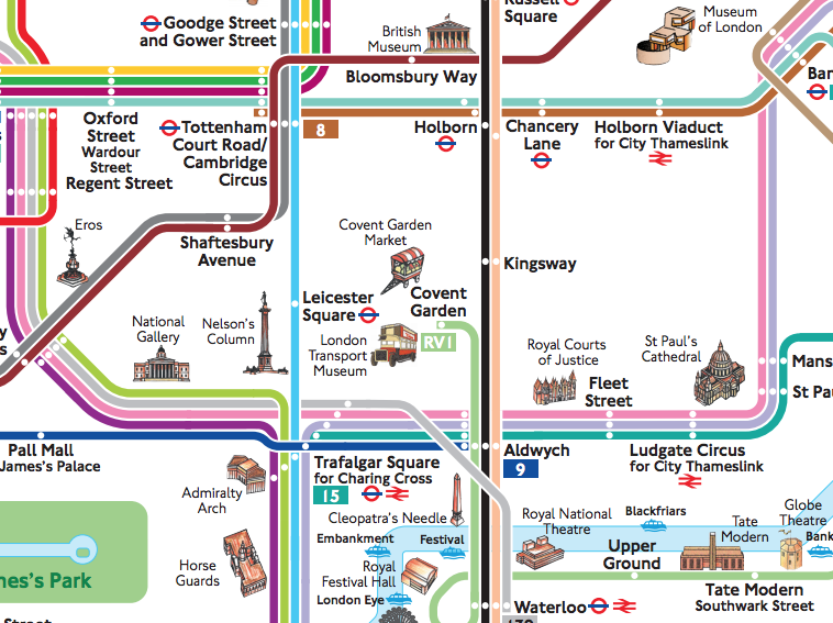
[Updated – Changed prices and links for 2016.] You’re in London for only 24 hours. You’ve never been here before. You want to see as
More...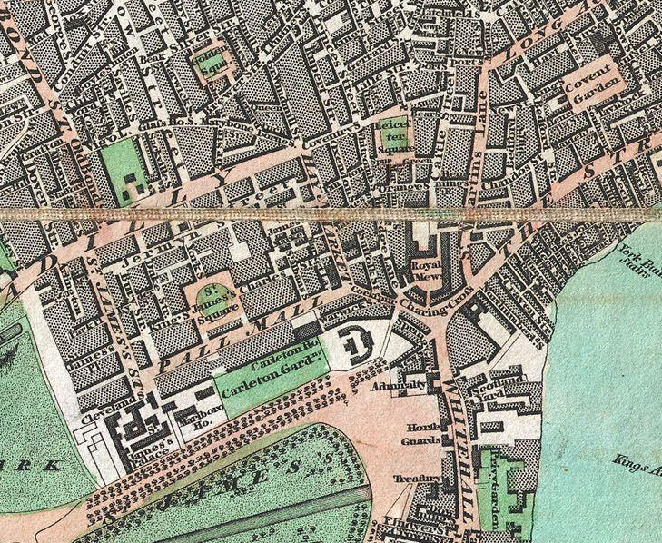
From Geographicus, a US map dealer, by way of a tweet by Rentonomy, an article in CityMetric and a collaboration with Wikimedia, comes this high-resolution
More...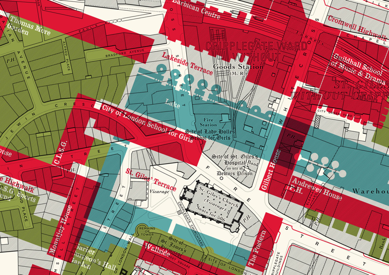
Here is an interesting concept by illustrator Russell Bell. He’s taken a pre-WWII (World War 2) monochrome map of the Barbican area of London (the
More...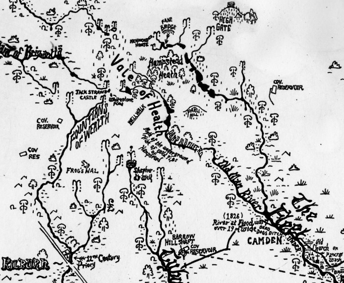
This is a new work by Stephen Walter, in his characteristic hand-annotated, monochromatic style. It features London’s watery features, in particular the many waterways. The
More...