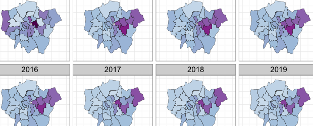

Buried in the London Datastore are the population estimates for each of the London Boroughs between 2001 – 2030. They predict a declining population for most boroughs with the exception of a few to the east. I was surprised by this general decline and also the numbers involved- I expected larger changes from one year to the next. I think this is because my perception of migration is of the volume of people moving rather than the net effects on the baseline population of these movements. I don’t envy the GLA for making predictions so far into the future, but can understand why they have to do it (think how long it took initiate Crossrail!). Last year I produced a simple animation showing past changes in London’s population density (data) and it provides a nice comparison to the above. In total I have squeezed 40 maps on this page! Find out how I made these maps here.

This site is amazing. Unfortunately the link to this map no longer works, is it possible to fix it?
Hi Gemma, I have fixed the link now. It is: http://spatial.ly/2011/02/mapping-londons-population-change-2011-2030/