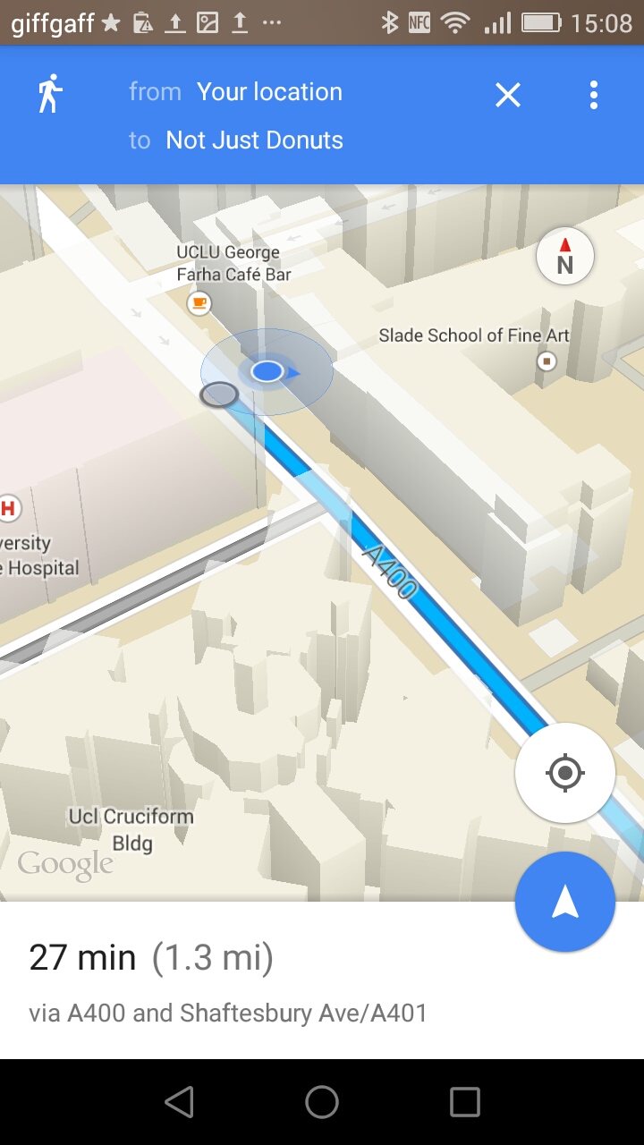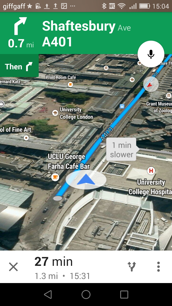
We’ve mentioned Google’s excellent aerial imagery and 3D building mapping for London before, but we’ve not featured the Google Maps app itself, mainly due to the antiquated smartphones that both editors have, which are just not quite up to it. However, thanks to a Lifehacker workshop organised by Huawei UK recently to highlight their shiny new Ascend G7 smartphone, Mapping London had an extended chance to try out the Google smartphone mapping apps – namely Google Maps and Google Earth – on their native Android platform and with a smartphone that can do the cool “zoom from outer space right to my street” party trick smoothly and seamlessly [glares at long suffering iPhone 4 sitting in the corner].
Google Maps is the closest that smartphones have to a “killer” app. You might think your phone is about making phone calls, listening to music or taking photos. But never before has it been so easy to navigate through a new city or an unfamiliar neighborhood to your nearest doughnut shop. Google Maps for Mobile is perhaps the map that is in the most number of pockets in the whole of London – likely even more so than the tube map. Millions will look at it every day. So it’s about time we featured it. And it probably looks different now, too. Google is continuing to refine Google Maps on mobile on a frequent basis, for example, some new features launched just last week, and tidying an interface that minimises the numbers of buttons to be pressed or words typed.
What I like about the current iteration of Google Maps is its bold, crisp graphics. The cartography may not be beautiful – it is entirely auto-generated, but the map is clear and it is obvious which way to go or where you are. Just follow the blue line. Translucent buildings help with context, providing a 3D relatable feel for those who are less comfortable with 2D maps, but not obscuring any important navigational detail. The maps are far from perfect from a cartographical viewpoint – the scalebar, an essential part of any map, surely, fades away as soon as you stop zooming for instance; but the “bottom up” approach that Google have taken, is producing mapping that is genuinely useful for all sorts of situations.
Google Earth on a smartphone is more similar to the desktop experience – albeit viewed on a smaller if sharper screen (the G7’s was pretty good for this). One thing to bear in mind is it does need a good internet connection to pull in all of the aerial imagery and 3D building shapes. Wifi or 4G is therefore best, but watch that mobile data allowance of on the latter, particularly if you are roaming abroad…
As for lifehacking, Mapping London has had parts of its non-mapping life hacked. It knows how to make its own cocktails now and has improved memory. So we’d thought we’d have our own Lifehacking list. We reckon that maps will always be the best way to optimise your London life. A photo says a thousand words, but a map can say many more. Our three map-based lifehacking tips for Londoners are therefore:
- Get CityMapper on your smartphone. A fantastic and free app available for Android and iOS, it collates TfL live-running information, National Rail, driving and walking maps of London together into a single place, telling you in two clicks how to get from A to B via any method you choose.
- For the fine detail of working out exactly where you are, Google Maps, as mentioned above, is continuing to evolve and become more and more useful. Street View, in particular, is superb, and is accessible on various platforms.
- Google Maps aren’t perfect – if you need a second opinion, OpenStreetMap sometimes has richer detail (ironically, often away from streets) and better information, particularly if your primary mode of travel is walking.
Now time to get those doughnuts:

Thanks to the Huawei UK team for organising the G7-themed Lifehacker workshop and for the complimentary phone. Screenshots here from Google Maps for Android.

That is a good tip particularly to those new to the blogosphere.
Short but very accurate info… Thanks for sharing
this one. A must read post!