
Google has updated the aerial photography available in Google Maps, for London. The new imagery appears to be from late summer 2010, showing the current crop of skyscrapers being built in and around the City of London, as well as other major new construction sites like the London 2012 Olympic Park. The previous imagery, in this part of London at least, was from pre-2007, before the Olympic site started to be cleared for the building of the games stadia.
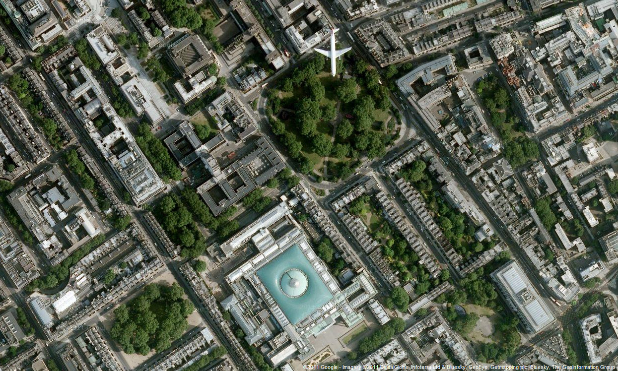
The quality of the imagery is excellent – sharper and less murky than the previous imagery. While Google Maps themselves continue to feature islands of grey between the networks of roads, their aerial imagery shows a richness of detail. The photo above is of Bloomsbury, with the glass-covered Great Court of the British Museum standing out, and a plane flying over Russell Square just to its north.
Imagery copyright 2011 Google, Digital Globe, Infoterra Ltd, Bluesky, GeoEye, Getmapping and/or the GeoInformation Group.
Nice image, there is a similar situation on Bing Maps with a plane taking off from Heathrow and you can follow it quite a bit there after as it turns. Bing Maps