
This attractive fold-out map (extract above) is produced by Urban Walkabout. It is the fifth in a series of maps of London tourist areas that aim to feature a number of bars, restaurants, independent shops, attractions and other boutique local businesses, all within walking distance of each other. The maps are free and can be found in the receptions of hotels within their areas, and at visitor information centres. For example, the Clerkenwell map which we feature here is available at the reception of the Zetter Hotel (which was the launch venue for the map itself).
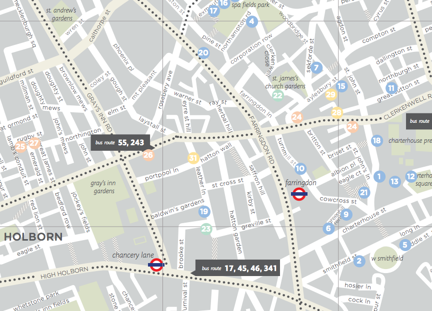
We like the cartography on the map – a pleasing, pastel colour palette has been used. Just the right amount of detail is included, to help you navigate the streets in the local area without overburdening with information. Large streets are written in capitals and given a subtle colour highlight, with smaller streets in lower case. Key bus routes (as lines of dots) and tube stations in the area are included. The businesses themselves appear as pastel blobs, for example The Quality Chop House, a Clerkenwell institution near Exmouth Market, appears as a light blue blob (No. 20). Parks are named and pedestrian roads highlighted. The map folds down to A6 so is ideal for a wander. The listing section includes a short description and opening hours. There are also five suggested walking tour descriptions on the map – for example, No. 5 is a pub breakfast at a Smithfield pub (they open early due to the times of the famous and eponymous meat market there.)
The guide shows great attention to detail and is a great example of a business engaging other businesses to create a useful product, one that presents a fresh look at an area compared with standard tourist guide or the ubiquitous Google Map suggestions.
You can download a PDF version of the map which we archived – Urban Walkabout no longer produces these. However they can mail you a paper copy for free. 75000 paper copies have been produced, and they aim to update the map once every six months or so. The sixth map, launching soon, will be for my favourite London area of all, Angel.
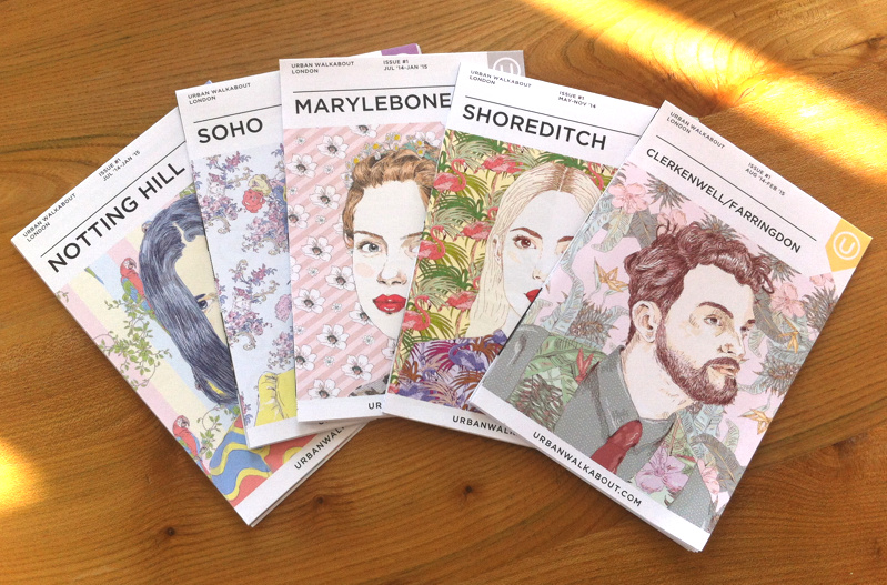
As UrbanWalkabout is no longer publishing their London maps, we have listed here our archive of them:
The others sadly have disappeared off the face of the earth.
Thanks to Urban Walkabout for the invite to the launch event.
One comment