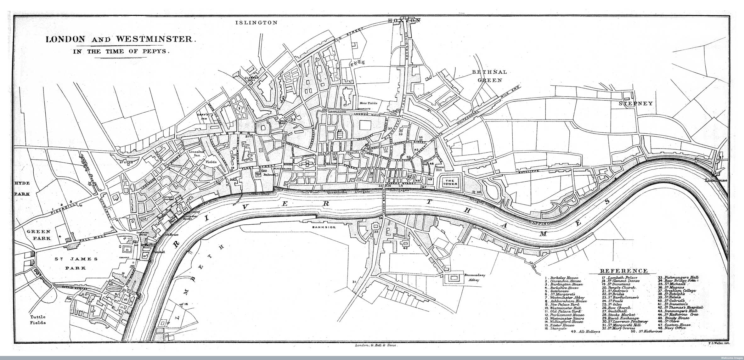

The Wellcome Image Library contains a number of interesting maps of London that are all free to use. I recently spotted a couple relating to the Great Fire of London. The map above is entitled “Map of London and Westminster before the Fire of London” and was created by P.S Walter and published in 1889. It shows the extent of London prior to the 1666 fire and remains recognisable to this day. If Christopher Wren, however, had been able to implement his plans for post-fire reconstruction of London the map above would not be at all familiar to present day Londoners. The map below, published in 1845 by John Haygarth, shows the “Wren plan” as dashed lines overlaid onto the Victorian street network for the City of London. 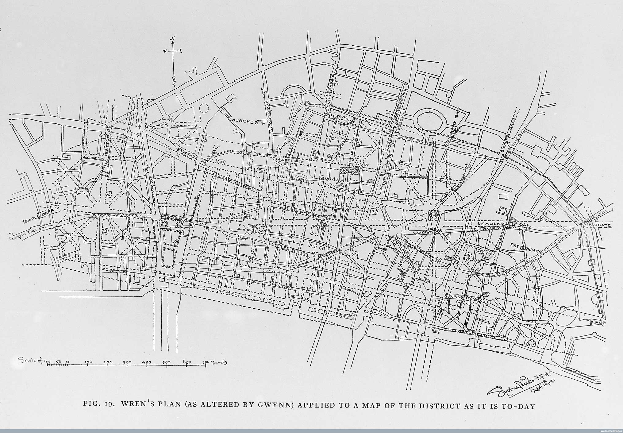
You’ve almost certainly already seen this, in fact I may well have first seen it here, but if you haven’t it’s well worth a look.