Mapping London editors James and Ollie look back at some of the many maps produced each year in London to highlight the highs and lows
More...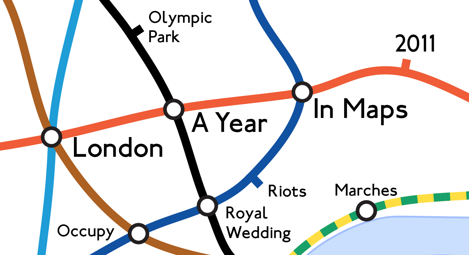
Highlighting the best London maps
Mapping London editors James and Ollie look back at some of the many maps produced each year in London to highlight the highs and lows
More...
Transport for London would really rather you didn’t travel into Zone 1 – the central part of London. It’s a lot cheaper to travel on
More...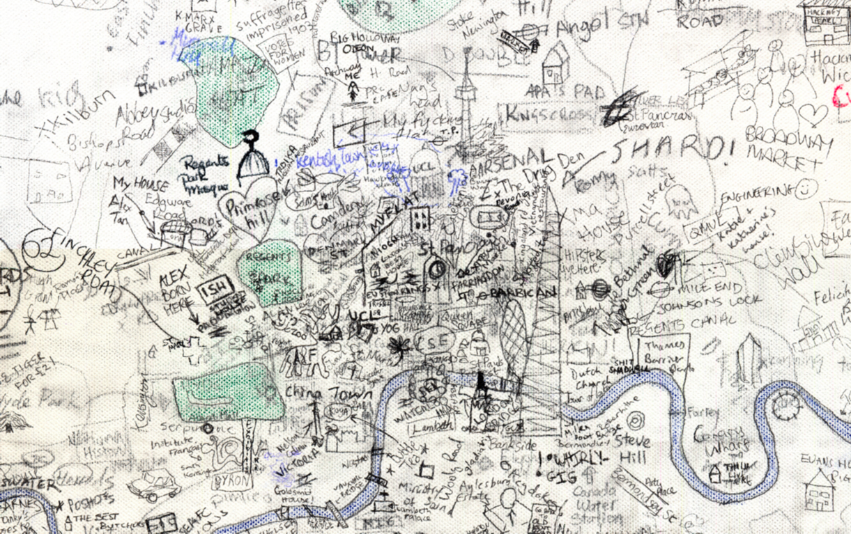
Step aside Stephen Walter, over 270 UCL students (and staff) have created their own interactive hand drawn map of London. Organised by two students Alistair Leak and
More...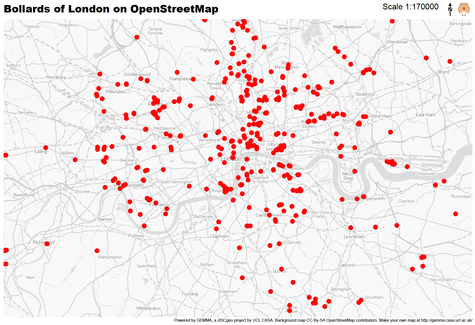
Mapping London Life is the title of the talk I gave at a great event organised by the Londonist and hosted by TAG Fine Arts.
More...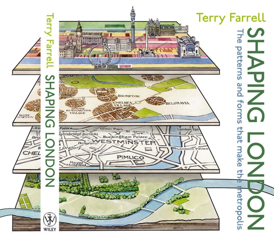
Duncan Smith, a colleague of ours, has written a great review of the “Shaping London” book for his City Geographics blog. He has kindly let
More...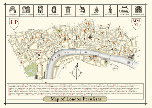
We were delighted to receive a copy of this rather brilliant new map from artist Julia Forte. It highlights the sort of things in the
More...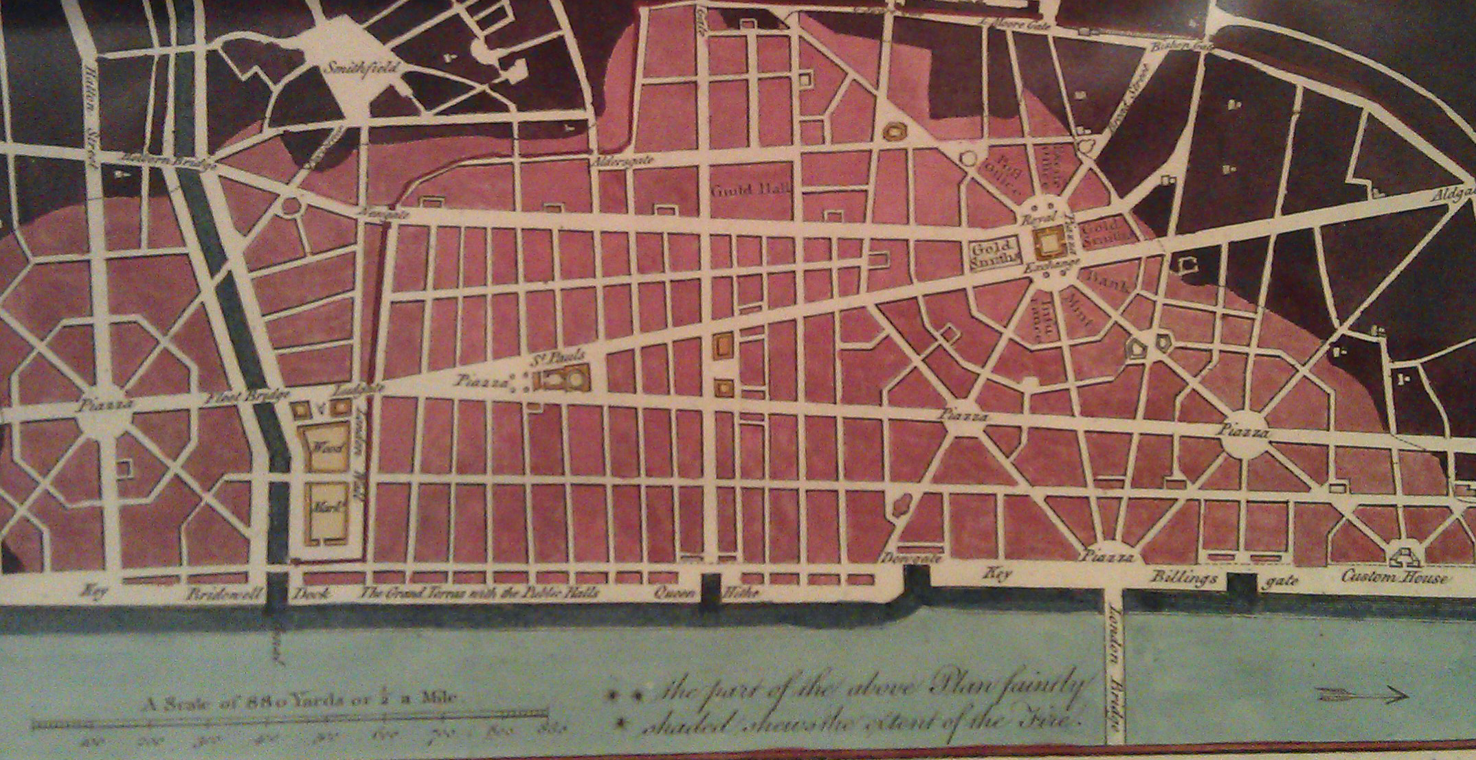
There is a shop in London that I always peer into when I walk past but have always resisted going in as it presented a
More...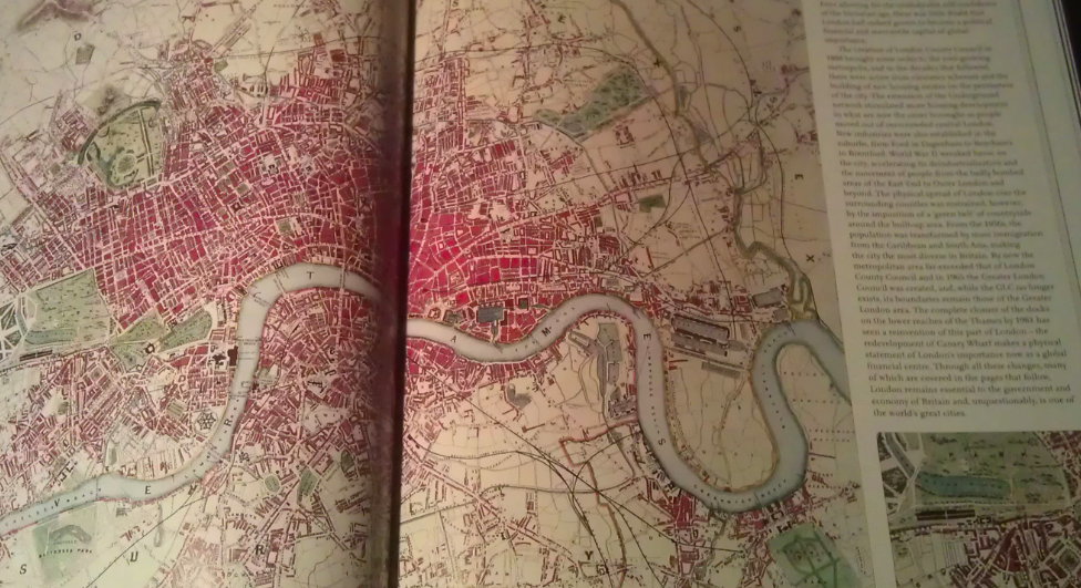
A few months back I had the honour of being asked to approve the use of a couple of excerpts from my London Surname Map
More...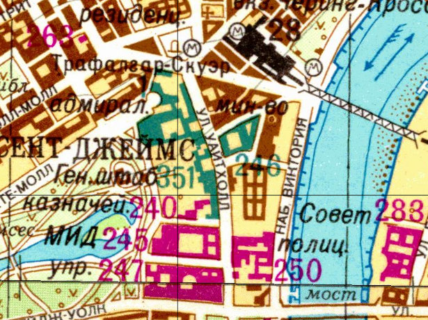
As a followup to yesterday’s article on the Soviet Cold War maps of London, above is an extract sent from the Landmark Information Group, which
More...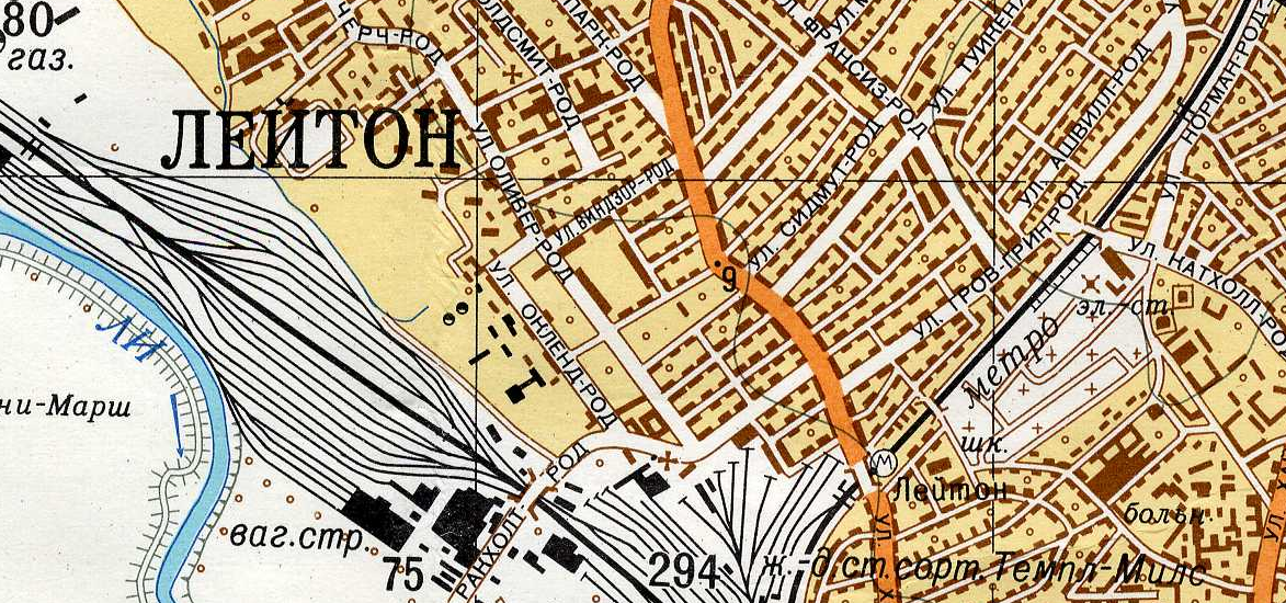
Yes the U.S.S.R. had its own maps of London, and other British cities, produced during Cold War era, i.e. the 1950s-1980s, to be perhaps used
More...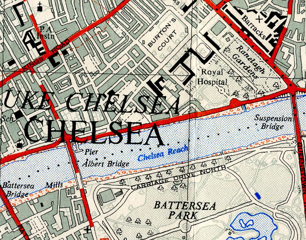
The OpenStreetMap Out-of-Copyright (OOC) project aims to scan in old Ordnance Survey maps of the country, so that they may be of some use when
More...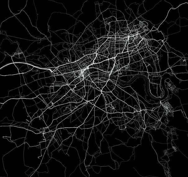
The above extract is an artwork from Jeremy Wood called My Ghost. Jeremy carried a GPS receiver around central London for nine years, gradually building
More...