Several years ago, we featured some striking maps from a small exhibition at the London Metropolitan Archive. Each map was a detailed plan of a
More...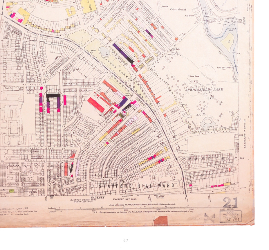
Highlighting the best London maps
Several years ago, we featured some striking maps from a small exhibition at the London Metropolitan Archive. Each map was a detailed plan of a
More...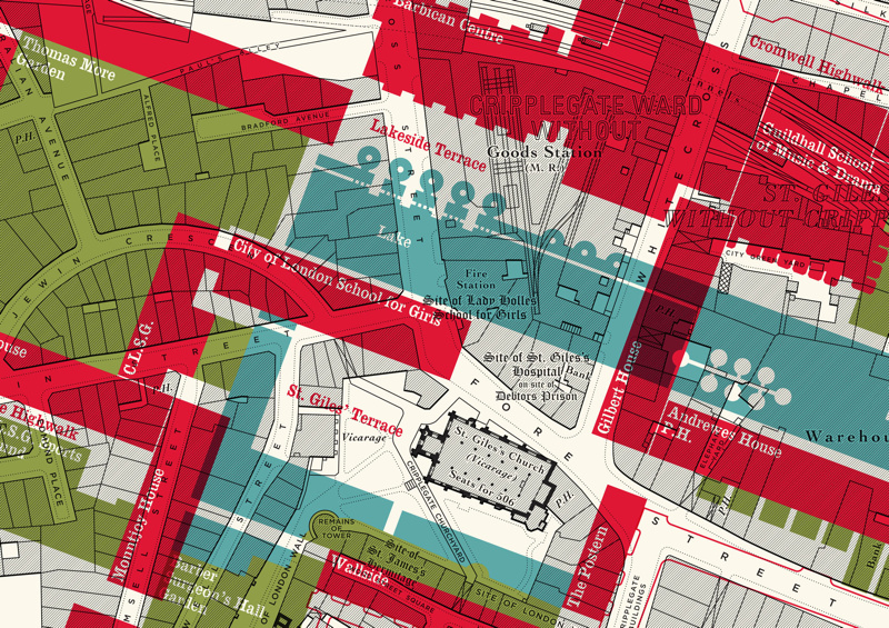
Here is an interesting concept by illustrator Russell Bell. He’s taken a pre-WWII (World War 2) monochrome map of the Barbican area of London (the
More...
As a followup to yesterday’s article on the Soviet Cold War maps of London, above is an extract sent from the Landmark Information Group, which
More...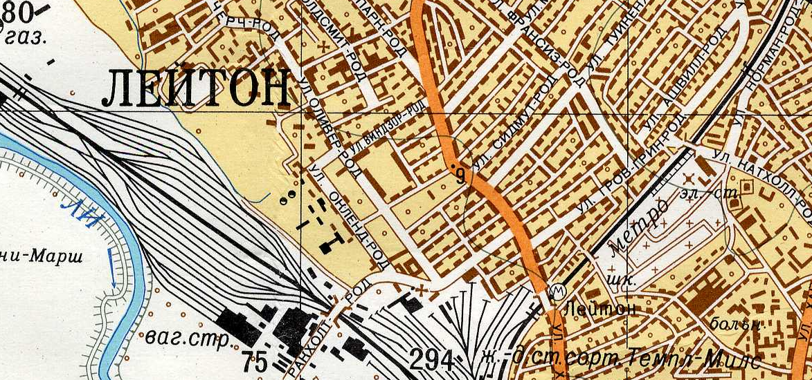
Yes the U.S.S.R. had its own maps of London, and other British cities, produced during Cold War era, i.e. the 1950s-1980s, to be perhaps used
More...