The Chiswick Timeline, a mural of maps showing the history of the pleasant west London neighbourhood, was successfully crowdfunded and launched last month. It appears
More...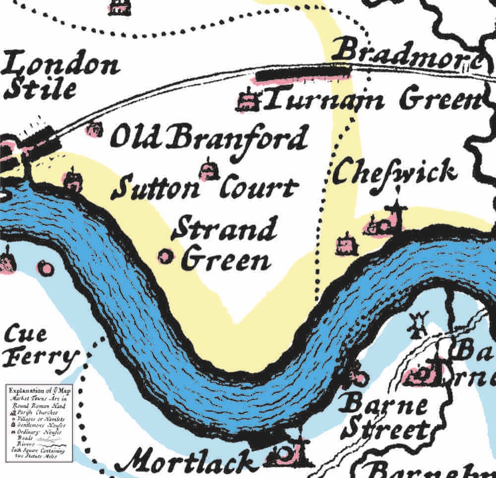
Highlighting the best London maps

The Chiswick Timeline, a mural of maps showing the history of the pleasant west London neighbourhood, was successfully crowdfunded and launched last month. It appears
More...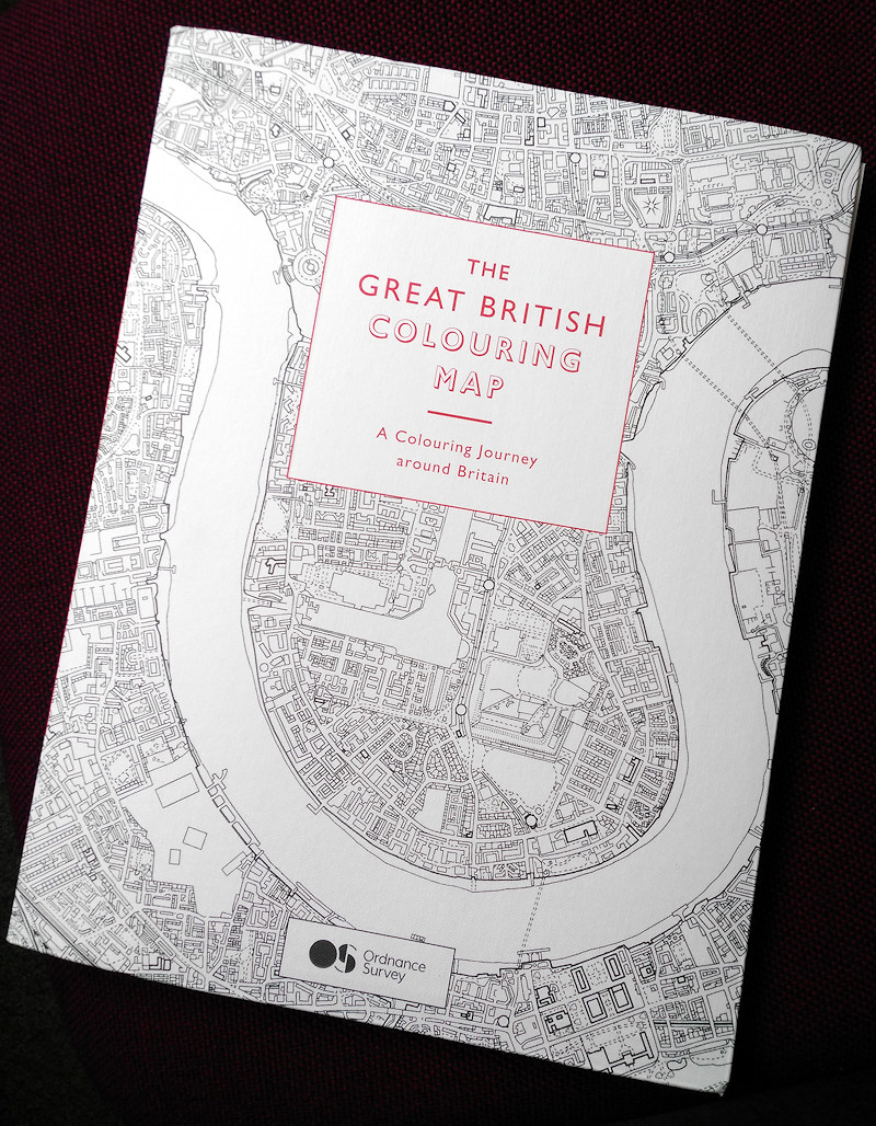
The Great British Colouring Map taps into a sudden enthusiasm for adult colouring-in books, by taking Ordnance Survey maps of many classic British places, stripping
More...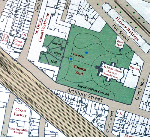
Mapping London editors James and Ollie were invited earlier this year to create a drawing for the 10×10 charity auction taking place later this week
More...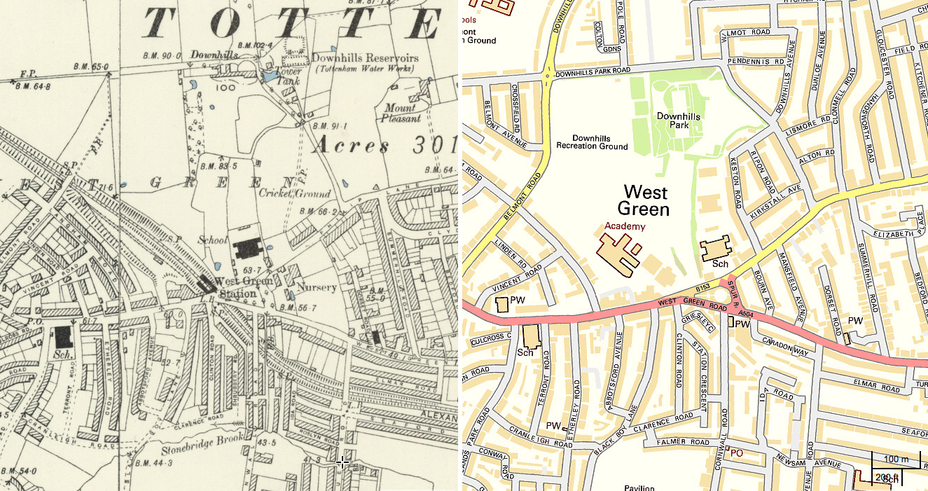
The National Library of Scotland’s (NLS) Map Department has recently completed a huge georeferencing exercise, taking a set of Six-Inch-To-Mile (1:10560) maps for the whole
More...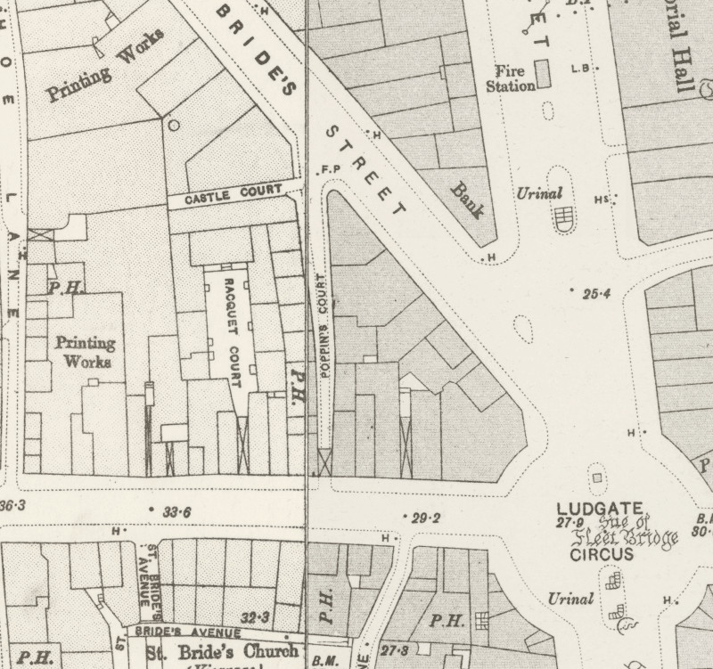
Here’s a real treat. The National Library of Scotland’s Map Department, supported by David Rumsey, have taken some very high-resolution scans of the Ordnance Survey
More...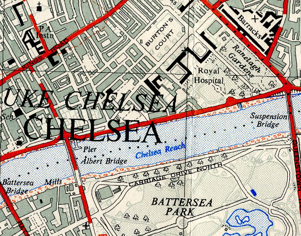
The OpenStreetMap Out-of-Copyright (OOC) project aims to scan in old Ordnance Survey maps of the country, so that they may be of some use when
More...