We’ve all had plenty of to explore our local areas, over the last year, with several lockdowns and other movement restrictions meaning that our local
More...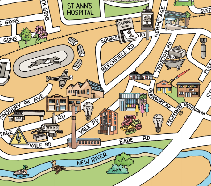
Highlighting the best London maps
We’ve all had plenty of to explore our local areas, over the last year, with several lockdowns and other movement restrictions meaning that our local
More...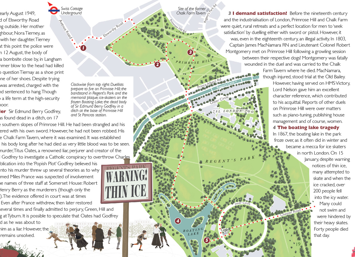
“Bloody London” is a new book by author, illustrator cartographer David Fathers. Previously writing about the Thames Path in London, the Regents’ Canal and London’s
More...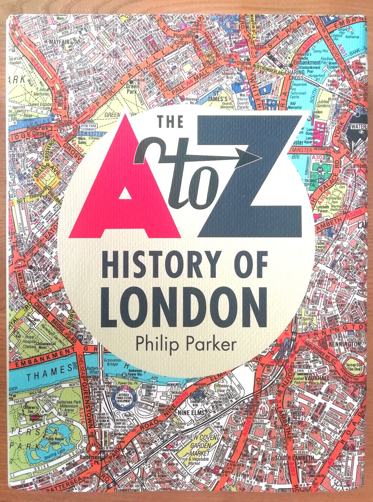
The A to Z is a bit of an institution when it comes to London maps. It, along with the Tube Map, is probably the
More...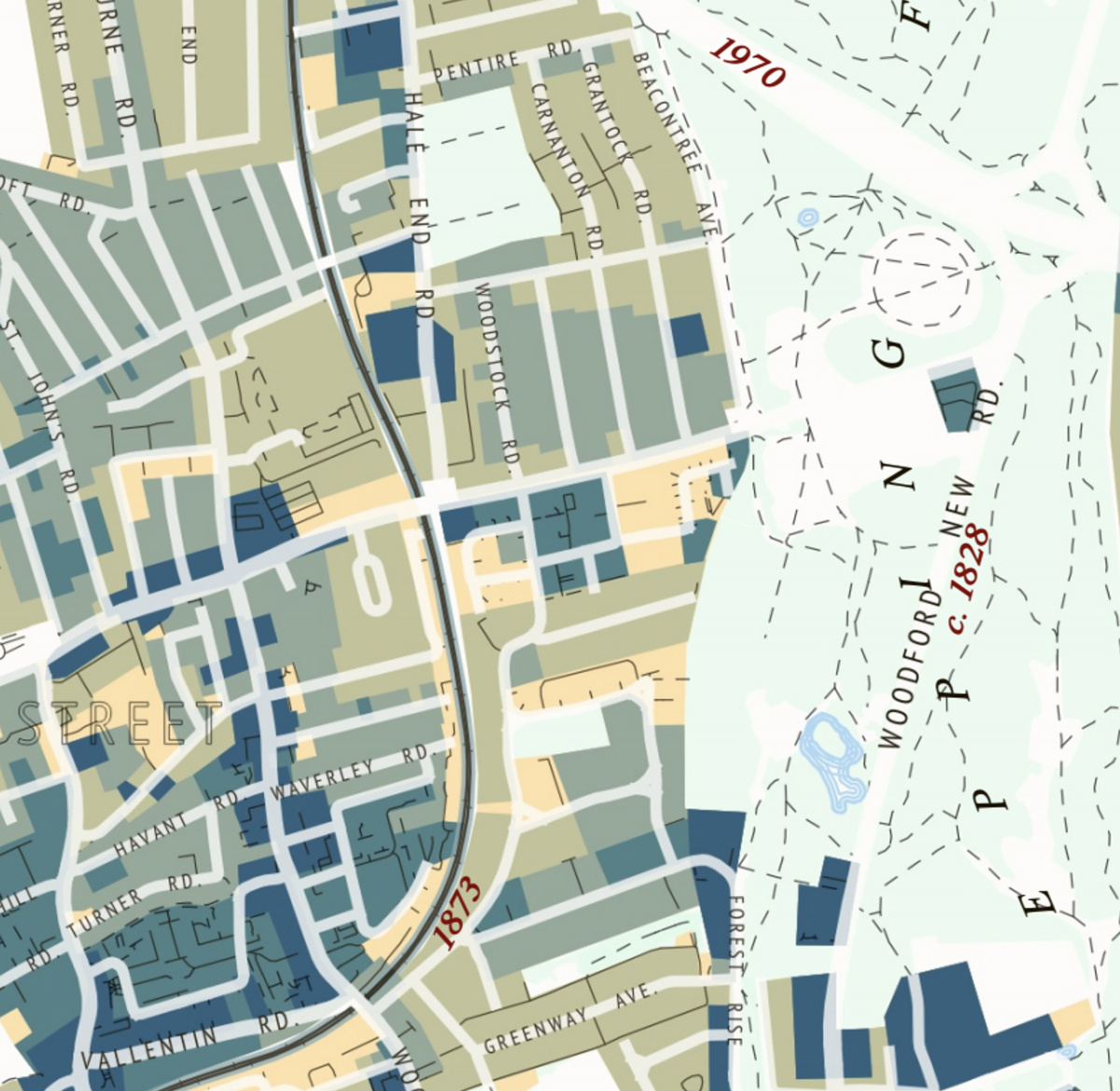
This attractive map of the housing and infrastructure history of Walthamstow and Leyton in north-east London has been created by Scott Davies. Scott used QGIS
More...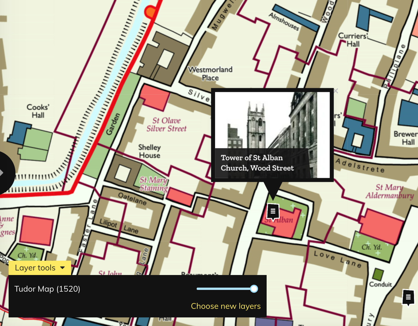
Layers of London, which has just launched, aims to be a platform for geolocating and documenting the local history of the capital. It works by
More...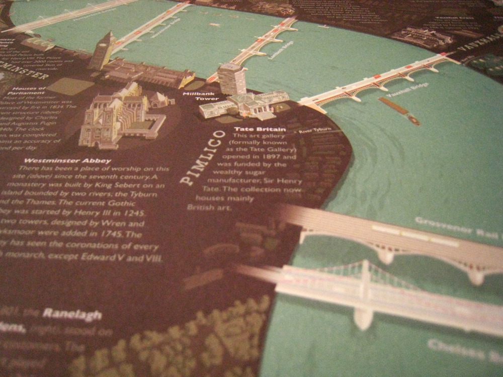
The London Thames is a new poster – a small extract is shown here – created by David Fathers, which features illustrations of the 16
More...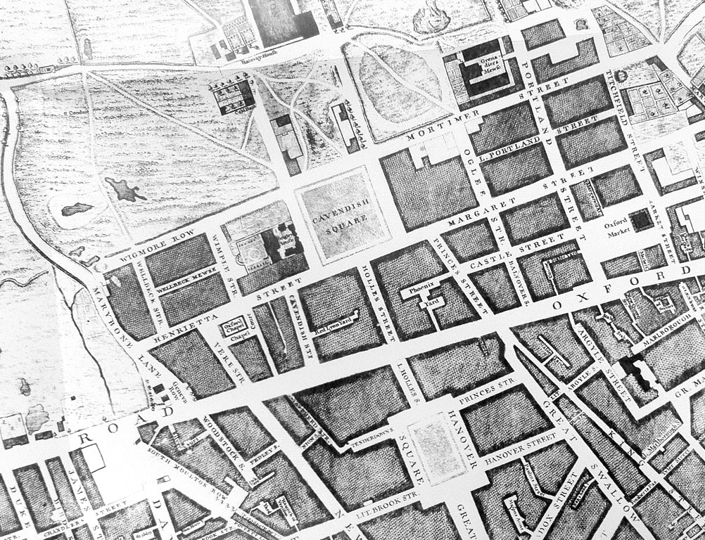
Mapping London has always been most interested in modern maps of London, however we are happy to make the occasional exception, and so when this
More...