So, we thought yesterday’s post on Google Maps for Mobile was the last time we’d be mentioning Google Maps for a little while, but then
More...
Highlighting the best London maps

So, we thought yesterday’s post on Google Maps for Mobile was the last time we’d be mentioning Google Maps for a little while, but then
More...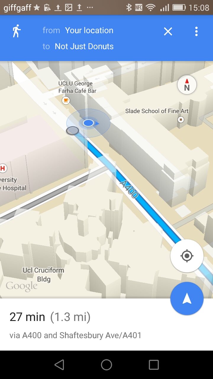
We’ve mentioned Google’s excellent aerial imagery and 3D building mapping for London before, but we’ve not featured the Google Maps app itself, mainly due to
More...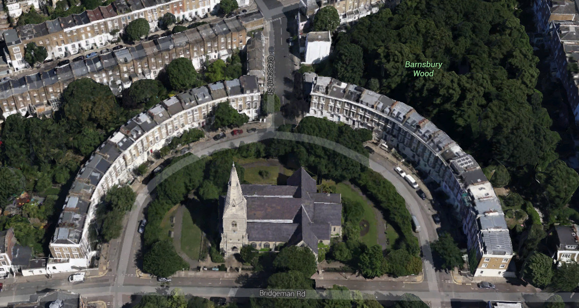
Google yesterday released their 3D map for much of inner city London – roughly, most of Zones 1-2 and parts of Zone 3, now visible
More...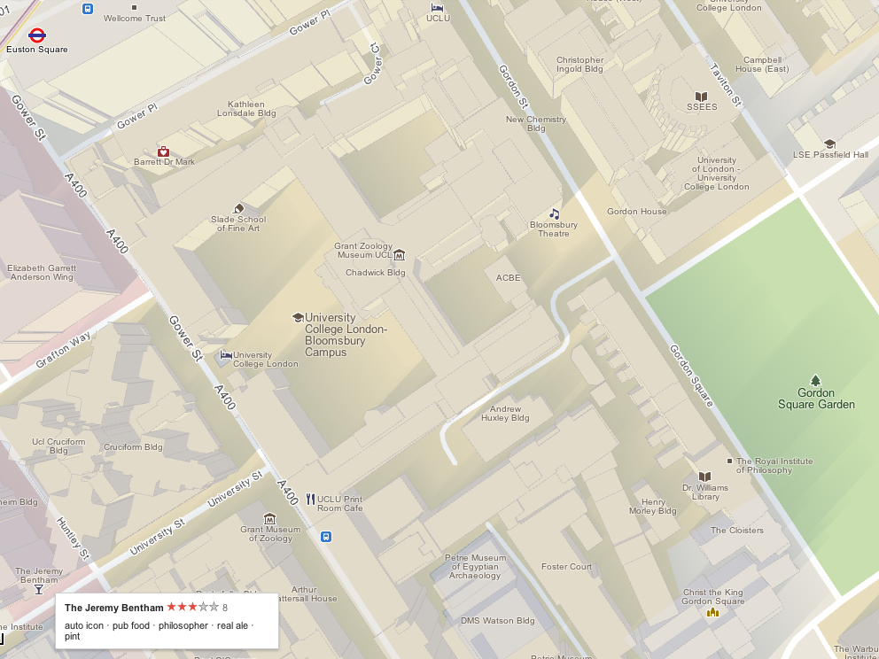
The Mapping London blog is 1 year today! We launched on February 24, 2011. To celebrate, today we are featuring Google Maps, and how it
More...
Adrian Short, provider of one of the main 3rd-party APIs for the Barclays Cycle Hire scheme in London – the Boris Bikes API – has
More...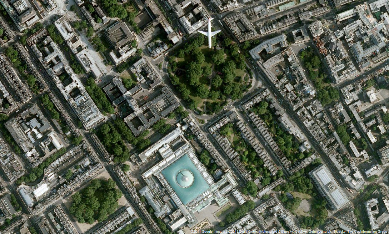
Google has updated the aerial photography available in Google Maps, for London. The new imagery appears to be from late summer 2010, showing the current
More...