This is a cross-post from oobrien.com. Above is an excerpt of a large, coloured-dot based graphic showing the locations of street trees in Southwark Borough
More...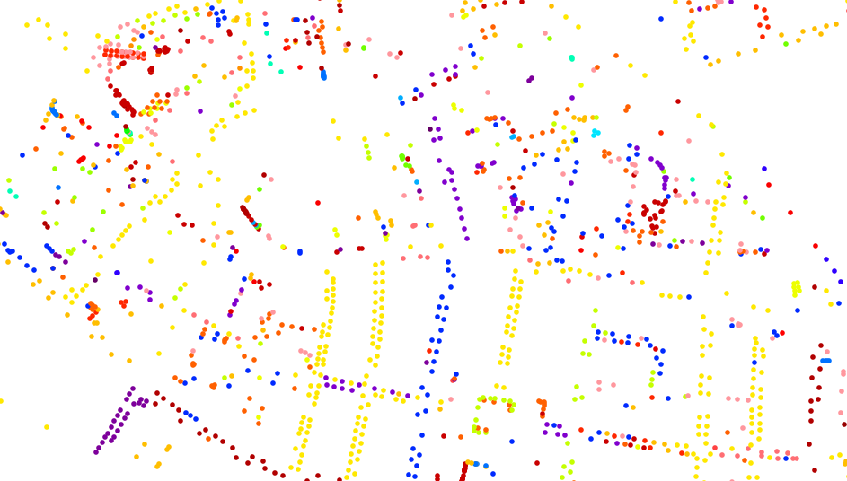
Highlighting the best London maps
This is a cross-post from oobrien.com. Above is an excerpt of a large, coloured-dot based graphic showing the locations of street trees in Southwark Borough
More...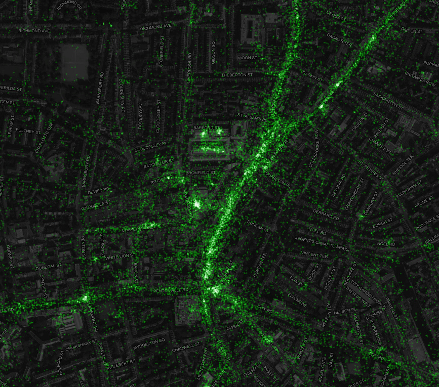
This is a map of geolocated Tweets for the whole world (we’ve defaulted to London here) created by Eric Fischer of Mapbox, who collected the
More...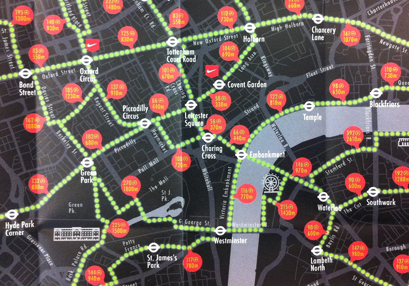
After reviewing many fine maps produced by others, it’s always nice to feature our own work once in a while. Above is an extract of
More...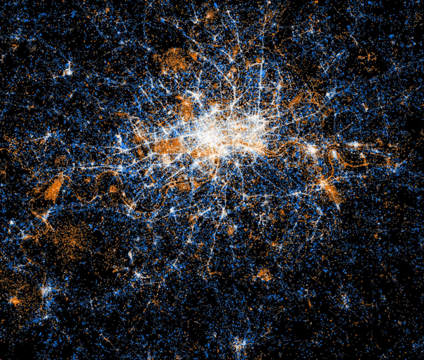
Eric Fischer produced this interesting data map of London a while back. The map is entirely made of of location coordinates included on Twitter tweets,
More...