Buy the book. Perhaps the world’s most famous historical geodemographic maps, the London Poverty Maps were created by Charles Booth over the course of a
More...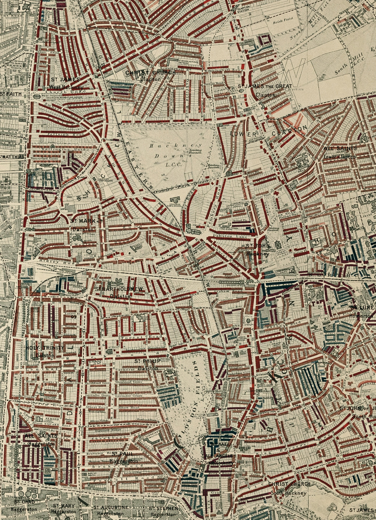
Highlighting the best London maps
Buy the book. Perhaps the world’s most famous historical geodemographic maps, the London Poverty Maps were created by Charles Booth over the course of a
More...
Most government statistics are mapped according to official geographical units such as wards or lower super output areas. Whilst such units are essential for data
More...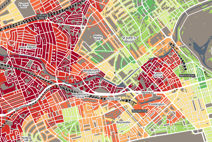
“Geodemographics of Housing in Great Britain – a new visualisation in the style of Charles Booth’s map” is a map that I have produced that
More...
Charles Booth’s 1899 Poverty Map of London is a seminal work in the history of London maps and the development of geodemographics (characterising people based
More...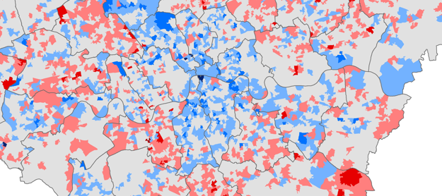
Chris Gale, a fellow UCL Geographer, has produced these maps showing the change in deprivation scores in London between 2007 and 2010. They show a
More...