The bright red JUMP bikes are alas gone from the streets of London, following the takeover of Uber’s JUMP micromobility division by rival Lime. They
More...
Highlighting the best London maps

The bright red JUMP bikes are alas gone from the streets of London, following the takeover of Uber’s JUMP micromobility division by rival Lime. They
More...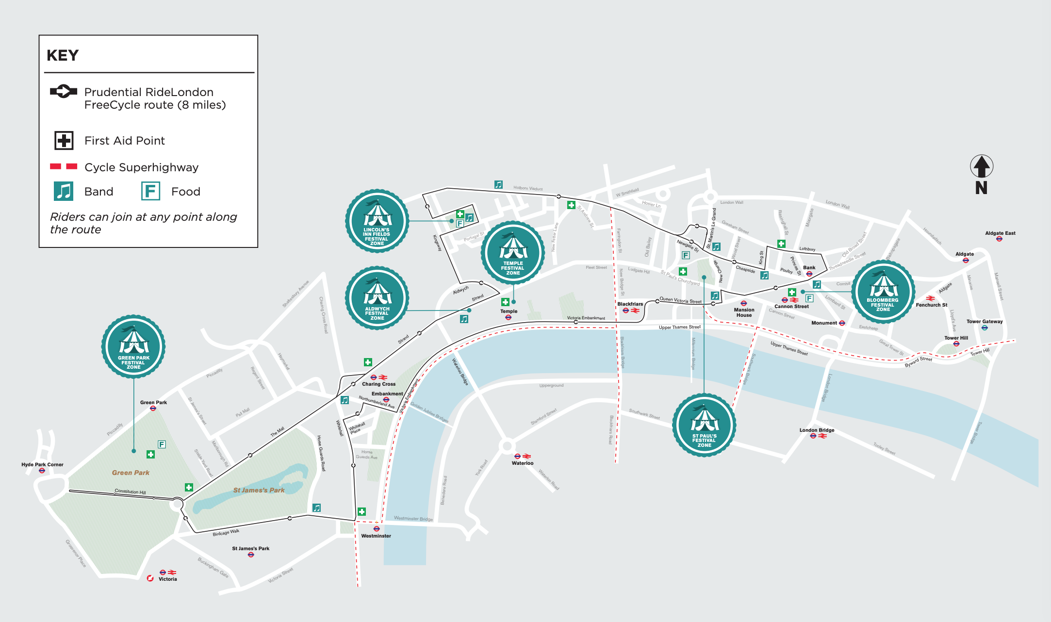
The Prudential RideLondon weekend takes place this year on August 3-4. One of the events is Freecycle, when some of central London’s biggest roads are
More...
My latest London data visualisation crunches an interesting dataset from the Department of Transport. The data is available across England, although I’ve chosen London in
More...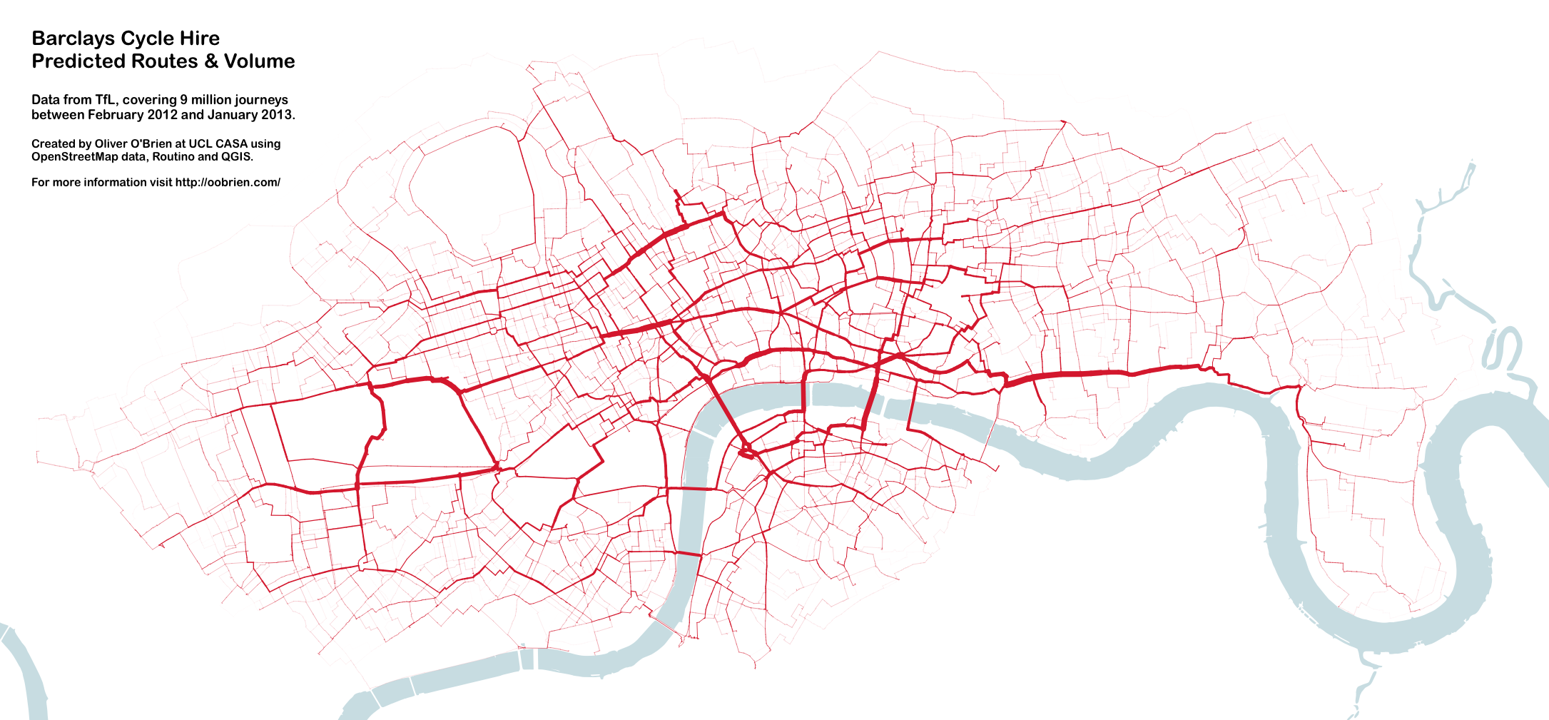
You may remember this map produced by Mapping London co-editor James in 2012. A version of this map appears in a journal article published by
More...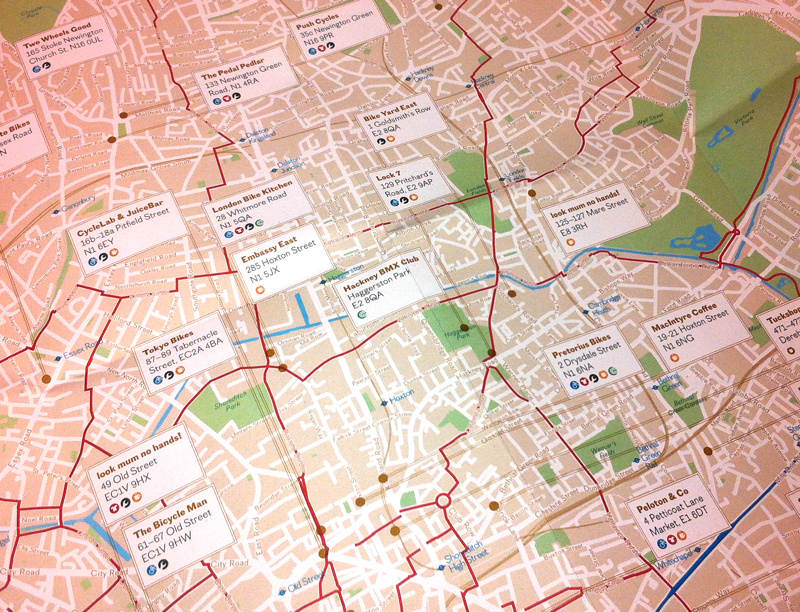
Over half a million cycle journeys now take place in London every day, and a whole service industry has grown in the capital, to cater
More...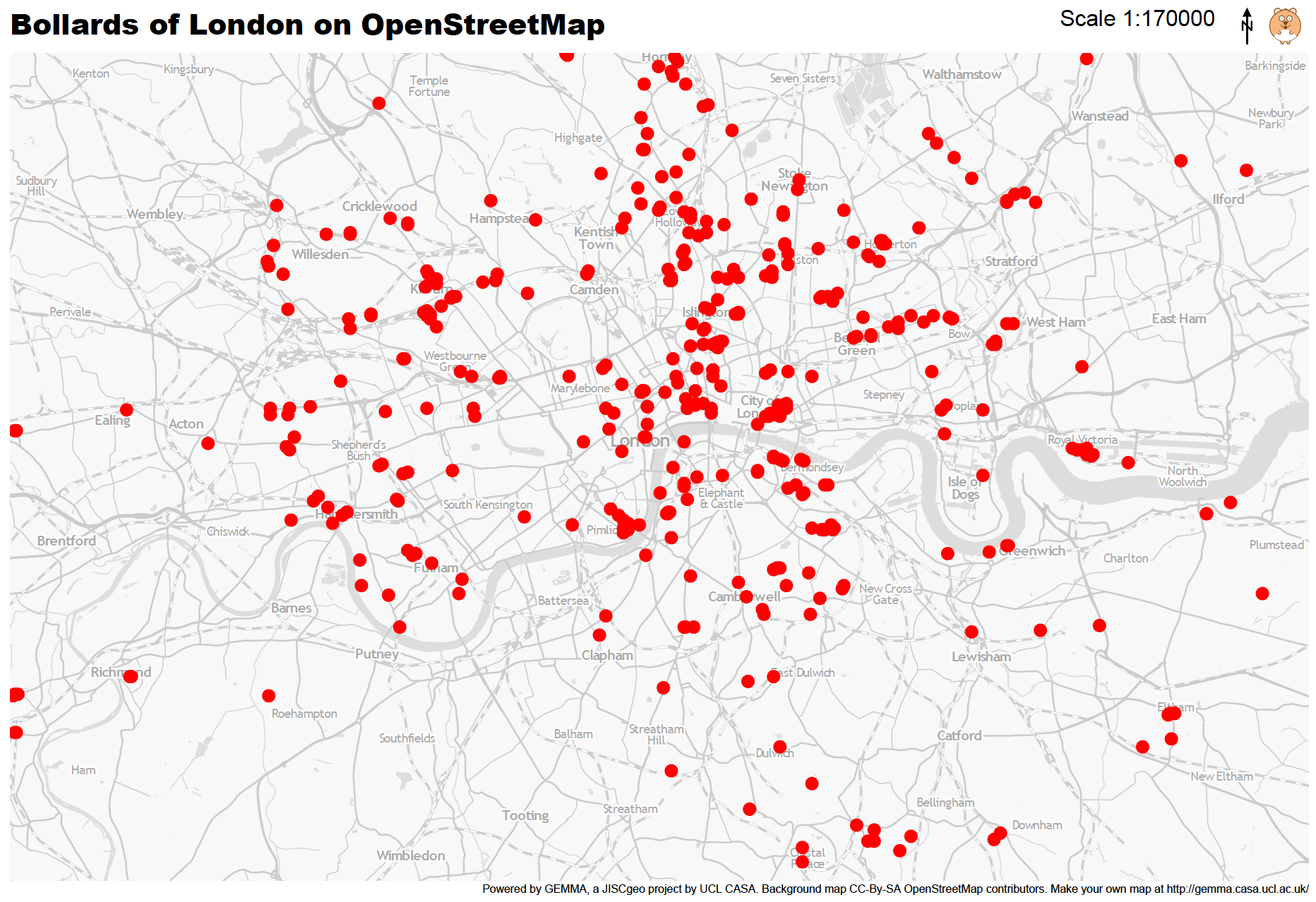
Mapping London Life is the title of the talk I gave at a great event organised by the Londonist and hosted by TAG Fine Arts.
More...
Adrian Short, provider of one of the main 3rd-party APIs for the Barclays Cycle Hire scheme in London – the Boris Bikes API – has
More...
A series of blue cycle lanes, branded signs, junction reprofiles and street furniture changes are gradually being built, creating a “hub and spoke” type network
More...
Ollie O’Brien, one of the contributors to this blog, has produced a map, which updates in near-real-time, of the full/empty states of the 350-odd docking
More...