Duncan Smith, a colleague of ours, has written a great review of the “Shaping London” book for his City Geographics blog. He has kindly let
More...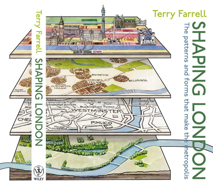
Highlighting the best London maps
Duncan Smith, a colleague of ours, has written a great review of the “Shaping London” book for his City Geographics blog. He has kindly let
More...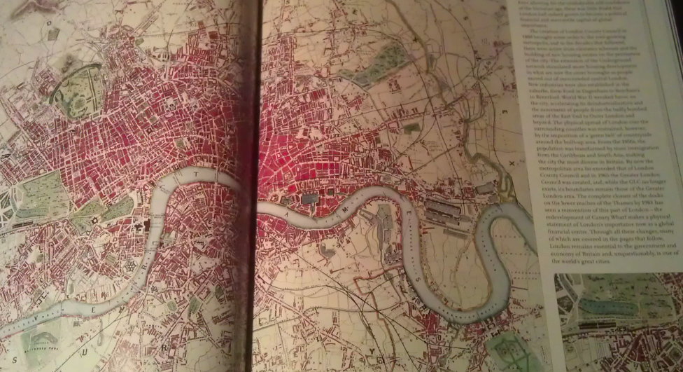
A few months back I had the honour of being asked to approve the use of a couple of excerpts from my London Surname Map
More...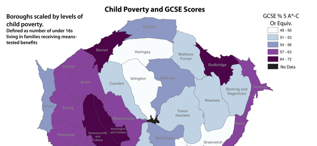
This week, thousands of teenagers across the capital will receive GCSE results that will likely have an impact on the life decisions they take over the
More...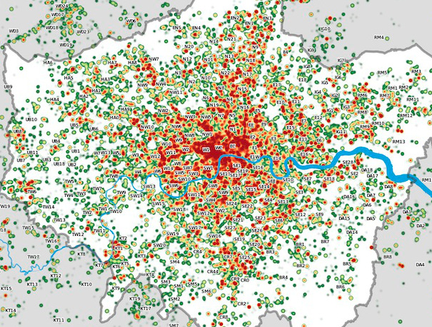
Many Twitter messages, or “tweets”, are sent with latitude/longitude information, allowing an insight into the places where the most amount of tweeting happens. For a
More...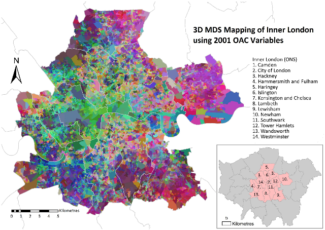
Daniel Lewis, a Geography Ph.D student at UCL, has produced this map of inner London, using multidimensional scaling (MDS) to simultaneously depict 41 geodemographic measures of each area.
More...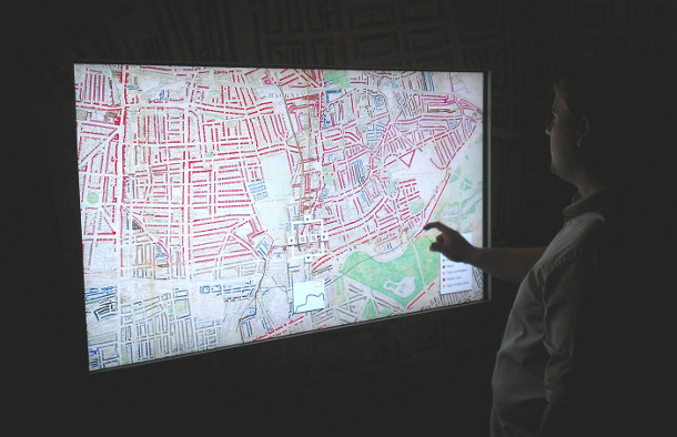
Charles Booth’s 1899 Poverty Map of London is a seminal work in the history of London maps and the development of geodemographics (characterising people based
More...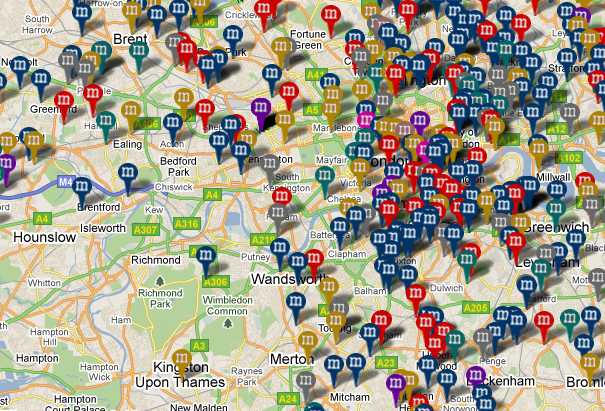
MurderMap is a manually curated map of homicides in London, based on records from the Central Criminal Court, aka the Old Bailey. The map’s creators
More...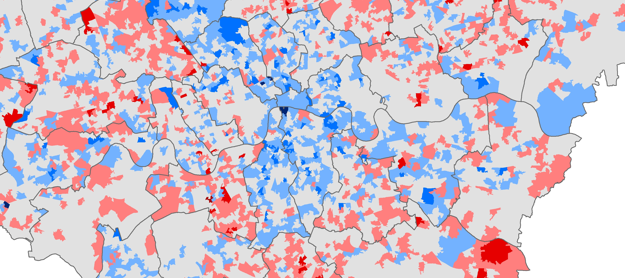
Chris Gale, a fellow UCL Geographer, has produced these maps showing the change in deprivation scores in London between 2007 and 2010. They show a
More...
This is another great map animation from our friends in CASA. It is a year old now (almost to the day) but it remains one
More...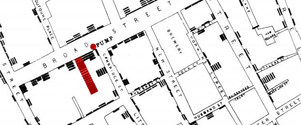
Embedded below is a high resolution version of John Snow’s 1854 map of the Broad Street (now Broadwick Street) cholera outbreak. Widely cited as the
More...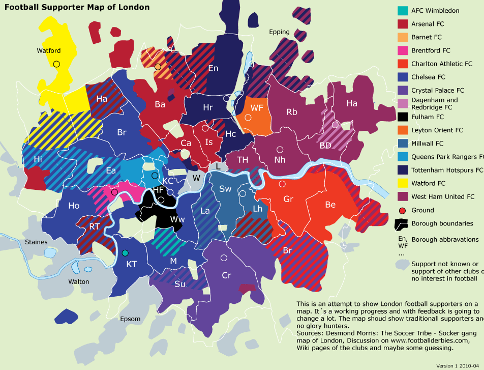
Two interesting maps of football clubs and London: First, Dean of The Londonist has mapped out the various locations of London’s football clubs over time.
More...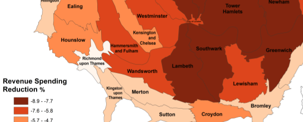
The map is a cartogram showing the level of child poverty for each of London’s councils in addition to their predicted loss in revenue spending
More...