Two interesting maps of football clubs and London: First, Dean of The Londonist has mapped out the various locations of London’s football clubs over time.
More...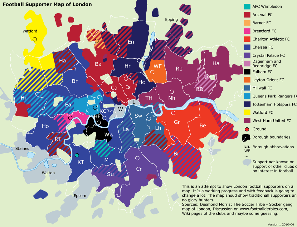
Highlighting the best London maps
Two interesting maps of football clubs and London: First, Dean of The Londonist has mapped out the various locations of London’s football clubs over time.
More...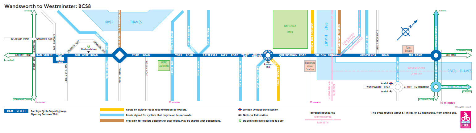
A series of blue cycle lanes, branded signs, junction reprofiles and street furniture changes are gradually being built, creating a “hub and spoke” type network
More...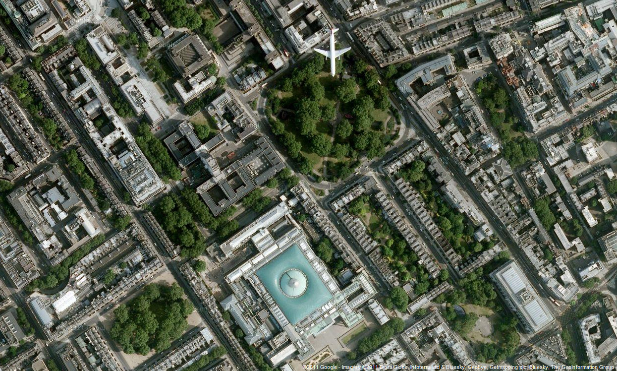
Google has updated the aerial photography available in Google Maps, for London. The new imagery appears to be from late summer 2010, showing the current
More...
The Nike Grid was an Alternative Reality Game (ARG) for runners, held over two weeks on the streets of London late last year. After each
More...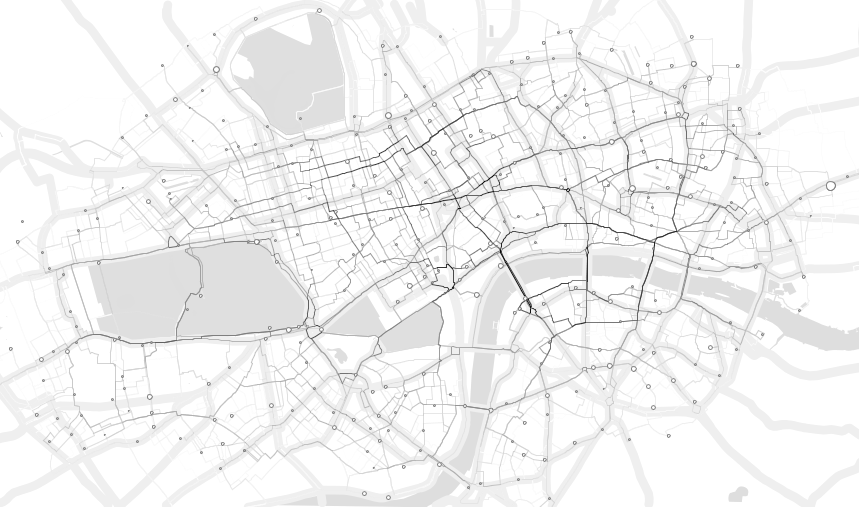
Demeter Sztanko has produced a stunning, minimalistic visualisation of the routes of the first 1.4 million Barclays Cycle Hire bikes. It is assumed that the
More...
Ollie O’Brien, one of the contributors to this blog, has produced a map, which updates in near-real-time, of the full/empty states of the 350-odd docking
More...