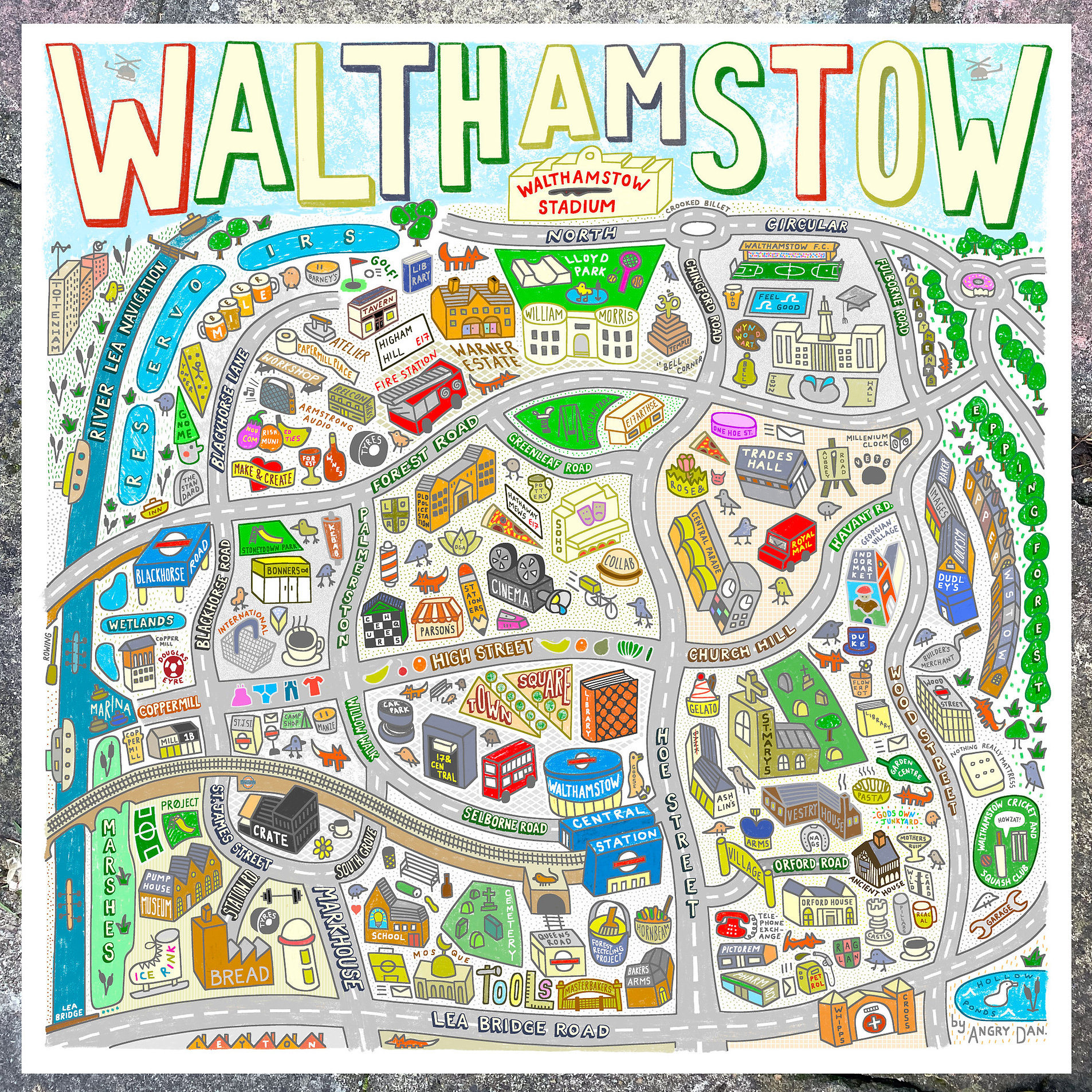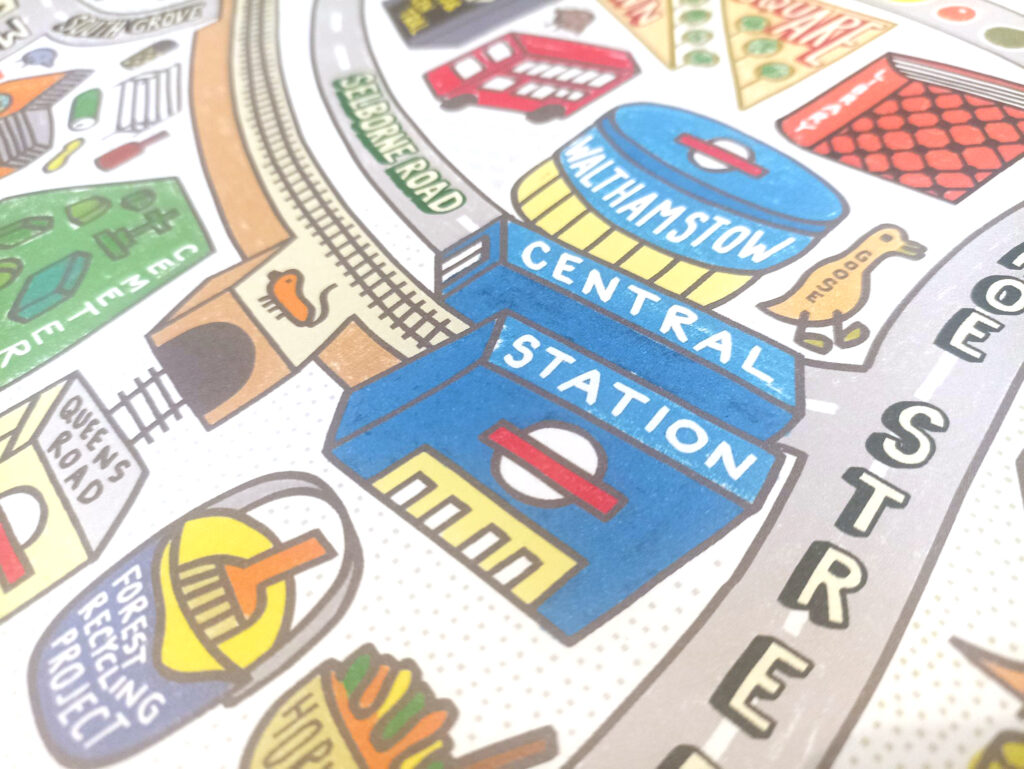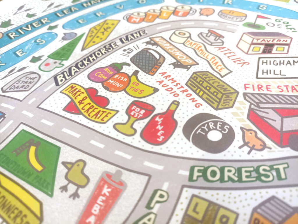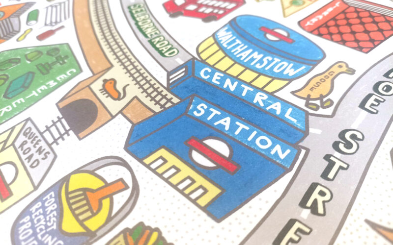
This delightful, colourful piece of cartography, is the first map by illustrator, limerick-creator and Walthamstow resident Angry Dan. The piece is a 60cm x 60cm square map, printed on high-quality art paper and ready to frame, of the well-known and rapidly evolving neighbourhood in east London. He describes the work as “wonky and colourful”, its focus is including “important bits” but leaving out the boring stuff. In a world of information clutter, these are good aims. You may not want to navigate across the neighbourhood using this map – it misses out a lot of roads and paths – but the various cartoons and symbols on the map provide a guide to what has made this area one of the most exciting and dynamics neighbourhoods in London over the last 10-15 years.

The creator has defined Walthamstow as the area bounded by the Lea Bridge Road and the North Circular to the south and north respectively, along with the River Lea Navigation to the west and the southern reaches of Epping Forest to the east. As such, it shows the neighbourhood as being more than just the famously long street market and the “village”, but encompasses Higham Hill, Blackhorse Road and Wood Street too – all very much part of the modern identity of the area.
There’s all sort of nice touches in this map, along with presumably all sorts of local references that Mapping London may have missed. For example, the doughnut on the Waterworks Roundabout stumped us for a bit, until we realised that “The Doughnut” is a nickname for the adjacent covered reservoir.

The good news is Angry Dan has plans to extend his style of mapping to cover the whole of London. Mapping London awaits this project with interest, while noting that the artist admits the Walthamstow map creation has spanned a year (including a solid month of work), so it may take a little while.
You can buy Angry Dan’s Walthamstow map direct from the artist’s online shop.
p.s. Props to Angry Dan for sending a typewritten letter along with the map, complete with hand-annotated corrections.
