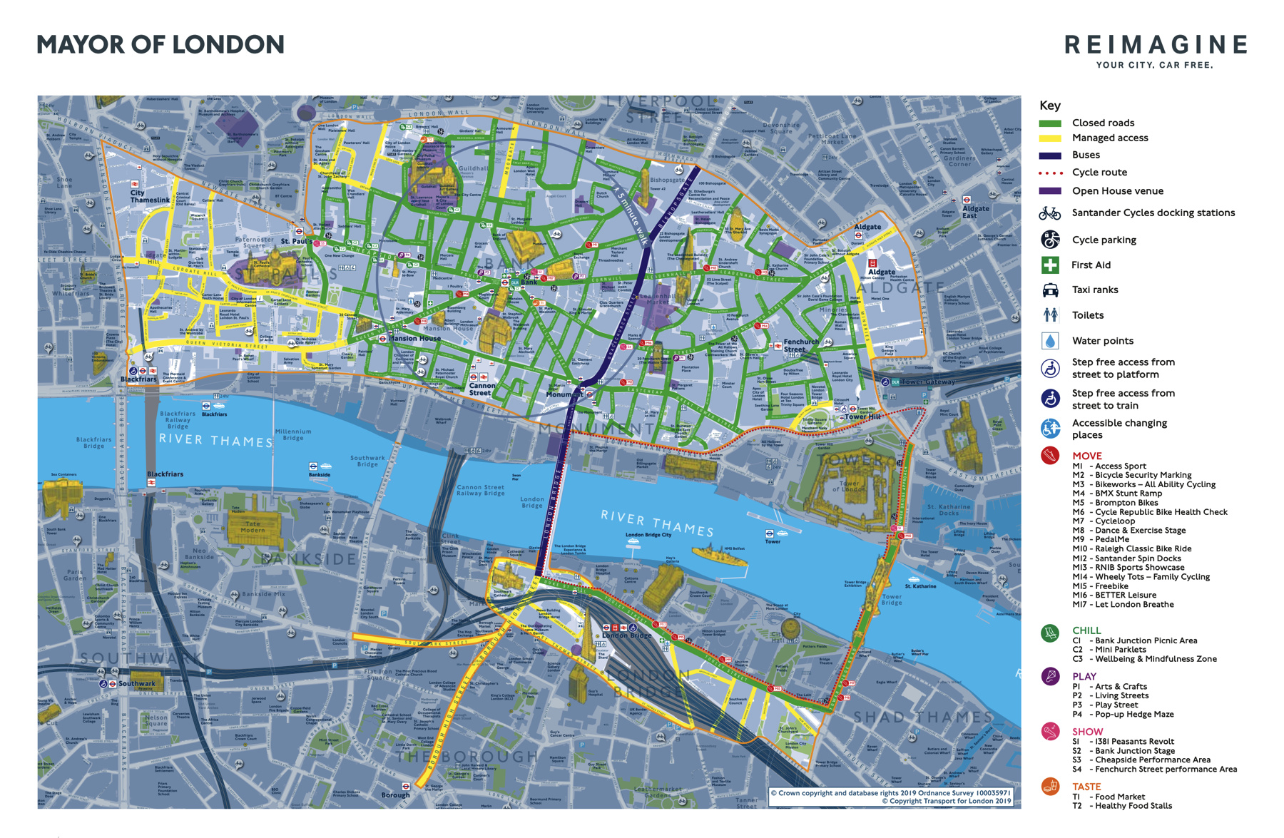
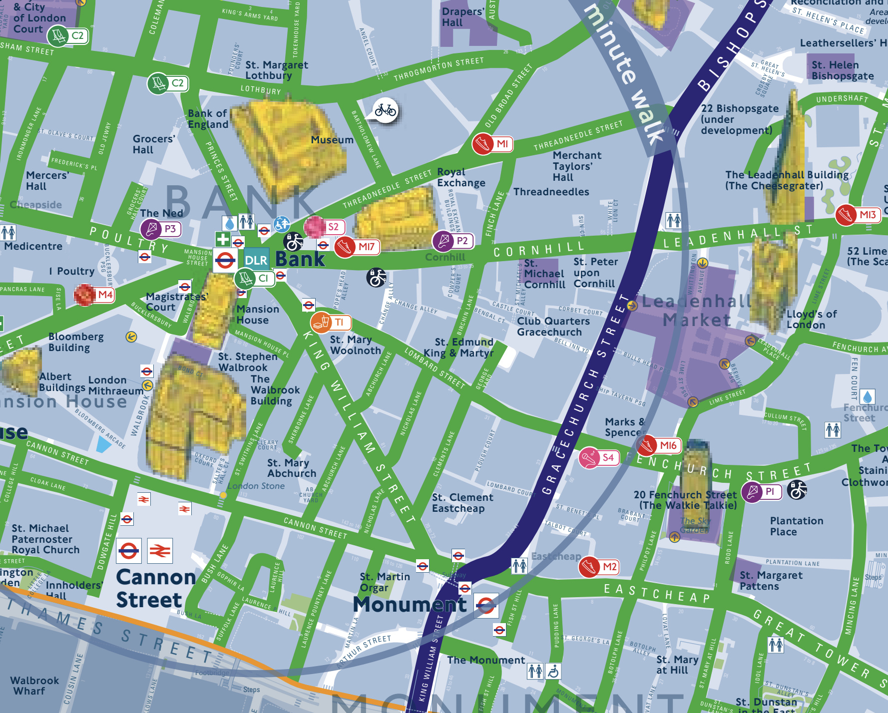
London is taking part in World Car Free Day, and the Mayor of London’s office has produced a special map showing the extent of road closures (to motor vehicles) or reimagined roads (to everyone else). The area covers almost the whole of the City of London, plus Tower Bridge and Tooley Street on the south side of the river.
The map uses a pleasing green to show the closed roads – after all, they are closed to motor vehicles but open to people. Just for a day (from 7am-7pm).
London Car Free Day Map — https://t.co/ejTldenNkl