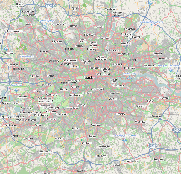

The OpenStreetMap project started in London in 2004 and has since grown to be a huge map of the whole world. It can be thought of as the Wikipedia of maps, where anyone can log in, go to their local area and add in local roads, rivers and pubs.
London has taken a long time to get to its current “very nearly complete” status (in terms of road coverage) because, having been worked on early on in the project’s life, it was a testbed for techniques. As it stands, the building coverage is not comprehensive, but certain parts of the city do have this level of detail.
OpenStreetMap’s real power is not the map you see on its website, but in the giant free, open and easily accessible database behind the map, allowing anyone to create new and exciting maps of any thing in any place. So, as well as many general purpose maps, there exist bike, waterway, train, ski, hiking and even public convenience maps.
You may be interested in this review of an excellent book on OpenStreetMap that I recently wrote.
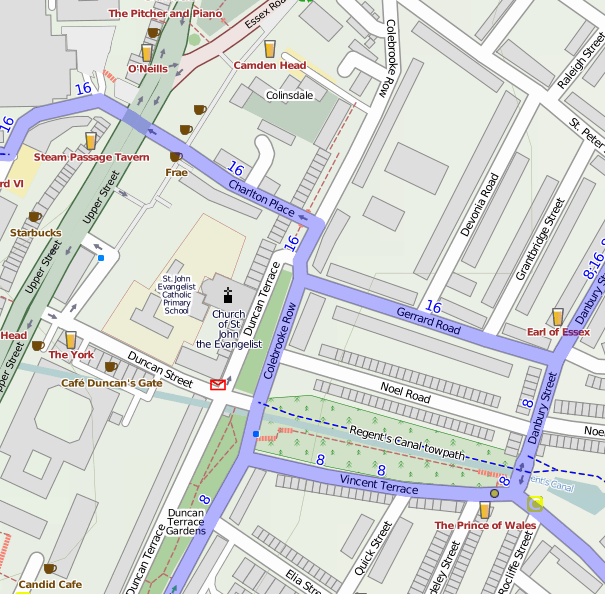
The images contain data which is CC-By-SA OpenStreetMap contributors. The top map is an extract of Angel in OpenCycleMap which highlights marked cycle routes, cafes and pubs and de-emphasises other major roads.