
It’s a bit silly, and not exactly very helpful as a map for navigation – but it’s also a lot of fun.
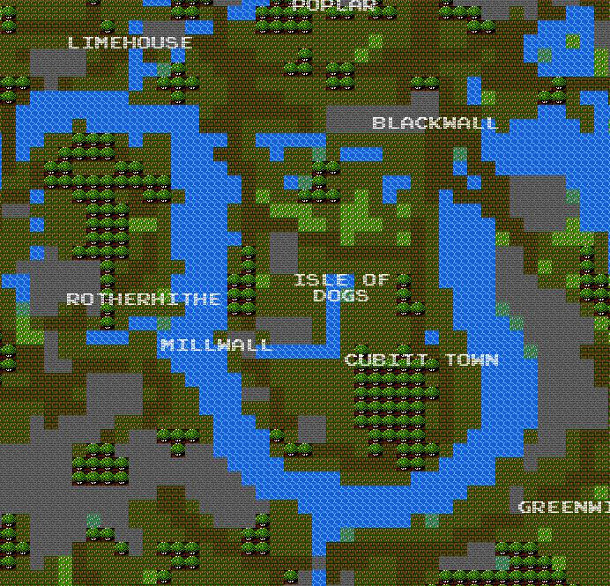
Brett Camper has taken the OpenStreetMap database for several cities around the world, including London, and applied a styling that is reminiscent of the blocky graphics of early-1980s computer games. As you zoom in, more detail appears, but with the same square-block style. The project is 8 Bit Cities.
It’s a great example of “‘Boing Boing’ cartography” (“hey, that’s neat!”), as distinguished from machine-generated “industrial cartography” (a la Google Maps) and “artisan cartography” (hand-made historical maps), the three categories of cartography identified at a talk I was at the the Society of Cartographers Summer School last year.
Looks interesting, could tie in with an 8 bit sat nav to navigate around london