
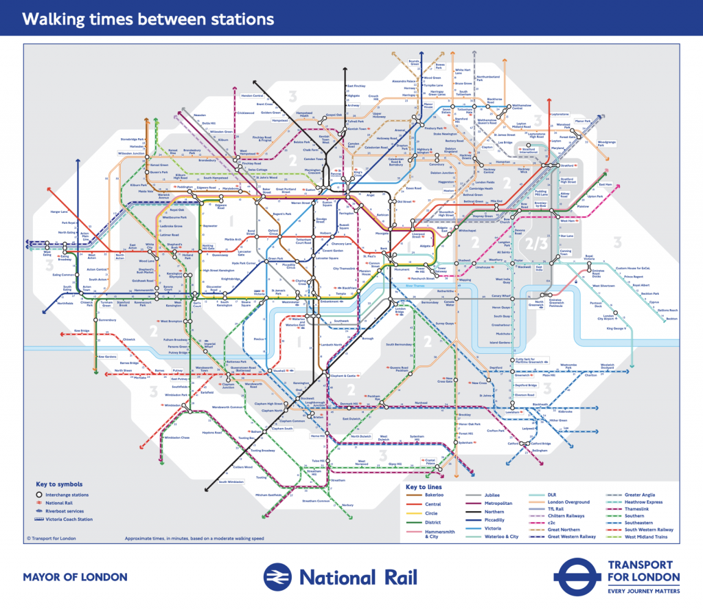
The weather’s lovely at the moment – the last thing you want to do is spend that time deep down in the bowels on London, on the deep tube network, surely? Or maybe at least, how about alighting one stop early and walking the last bit? But how long would that take?
Back in 2017 we featured a special tube map produced by Transport for London, that featured numbers along each segment in the network – the estimated travel time in minutes if you walked between each station. Sometimes, it’s faster, and sometimes, it’s healthier, to walk a route you would normally take the tube along. The map only included tube lines, and only in Zones 1-2. Beyond that distances between stations tend to be longer, and the network is less crowded, so the benefits and likelihood of people switching to walking would be reduced
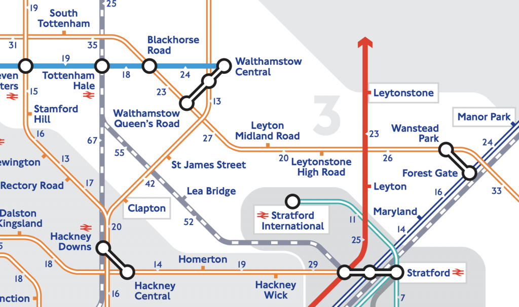
More recently, TfL has, however, extended the map. It now goes to the edge of Zone 3, and crucially includes the inner city National Rail network (i.e. non-TfL) too. These means suddenly large parts of south London’s complex suburban network now appear, with walking indications.
The extension means the Victoria line is fully covered – TfL estimate that it would take the average person to walk 5 hours and 3 minutes. Some of these measurements still look suspect – 9 minutes from Warren Street to Euston seems generous, as it’s only two blocks along and one up the Fitzrovia grid system.
The shortest time on the network is 2 minutes from Canary Wharf to Heron Quays – you can definitely see one platform from the other – followed by 4 minutes from Mansion House to Cannon Street – in fact if you run this particular leg, you can beat the train. The longest (remembering this doesn’t go into Zone 4 or beyond) is 112 minutes, should you want to walk from Paddington to Acton Main Line. The second longest is 104 minutes to go from North Greenwich to Canning Town – one stop on the Jubilee Line but a long walking detour to the Greenwich or Woolwich foot tunnels under the Thames. The 49 minutes from Rotherhithe to Wapping seems suspect – it is routing via Tower Bridge whereas you can actually walk through the Rotherhithe road tunnel. It does have two pavements for pedestrians. Not advised though due to the intense air pollution. I cycled it once…
The one thing the map doesn’t show is short walking links between tube stations that are not on the same line. For that, you need the Standard Tube Map which now includes dotted lines showing pairs of stations that are less a 10 minute walk apart. However, even here, Zone 1 is not included (presumably as it would clutter the map), so, for example the very useful short walk from Lancaster Gate to Paddington is omitted. TfL have also withdrawn their Geographical Tube Map, which would have least have shown some pairs of stations being physically close, so the independently produced Carto Metro map can perform this function. Or alternatively there’s always HERE Maps/Google Maps/OpenStreetMap.
The map is © Transport for London.
RT @MapLondon: TfL have extended their walking tube map to cover Zones 1-3 and also the suburban national rail network (hello south London!…
Walking Tube Map – Extended https://t.co/DZbZlDAHdA
Walking Tube Map – Extended — https://t.co/igoJ4BqBE9
Actually going from Warren Street tu Euston means waiting for ages to cross the huge road in between, with stops in the middle, so in my experience it’s not far from the truth!
Walking Tube #Map – Extended https://t.co/M1sWY2uoht
#TopStory #LBS : Walking Tube Map – Extended | Mapping London https://t.co/422sPyaI84, see more https://t.co/xddeRCloAz
The Walking Tube Map has been extended to include Zone 3 https://t.co/R3qPyiUSvO